MyTopo
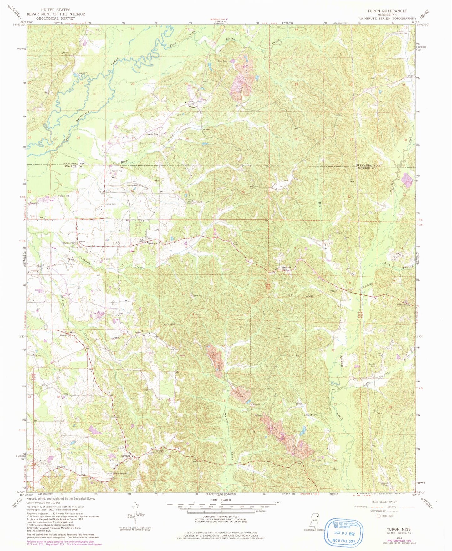
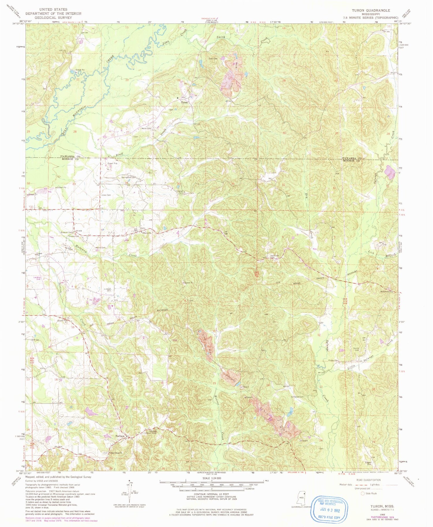
Classic USGS Turon Mississippi 7.5'x7.5' Topo Map
Couldn't load pickup availability
Historical USGS topographic quad map of Turon in the state of Mississippi. Map scale may vary for some years, but is generally around 1:24,000. Print size is approximately 24" x 27"
This quadrangle is in the following counties: Itawamba, Monroe.
The map contains contour lines, roads, rivers, towns, and lakes. Printed on high-quality waterproof paper with UV fade-resistant inks, and shipped rolled.
Contains the following named places: Ashcraft School, Bethlehem Church, Bluff Creek, Bristow, Burdine Cemetery, Cowley Cemetery, Dry Creek, Dyer Cemetery, Gilliland Cemetery, Hathcock Cemetery, Hatley Volunteer Fire Department Station 2, Ironwood Bluff, Jims Creek, Jones Cemetery, Lick Branch, Lindsey Cemetery, Little Splunge Creek, Maxie Cemetery, Miston, Monroe Sporting Club Lake Dam, New Hope Baptist Church, New Hope Cemetery, New Hope Church of Christ, Parham, Pearce Church, Pecks Shop, Pickle Cemetery, Riggan Cemetery, Riggins, Rye Field, Silome Cemetery, Smith Cemetery, Smith Creek, Splunge Lookout Tower, Springfield Cemetery, Turon, W A Gideon Lake Dam, Wylie Cemetery, ZIP Code: 38870


