MyTopo
Classic USGS Turpin Lake East Nebraska 7.5'x7.5' Topo Map
Couldn't load pickup availability
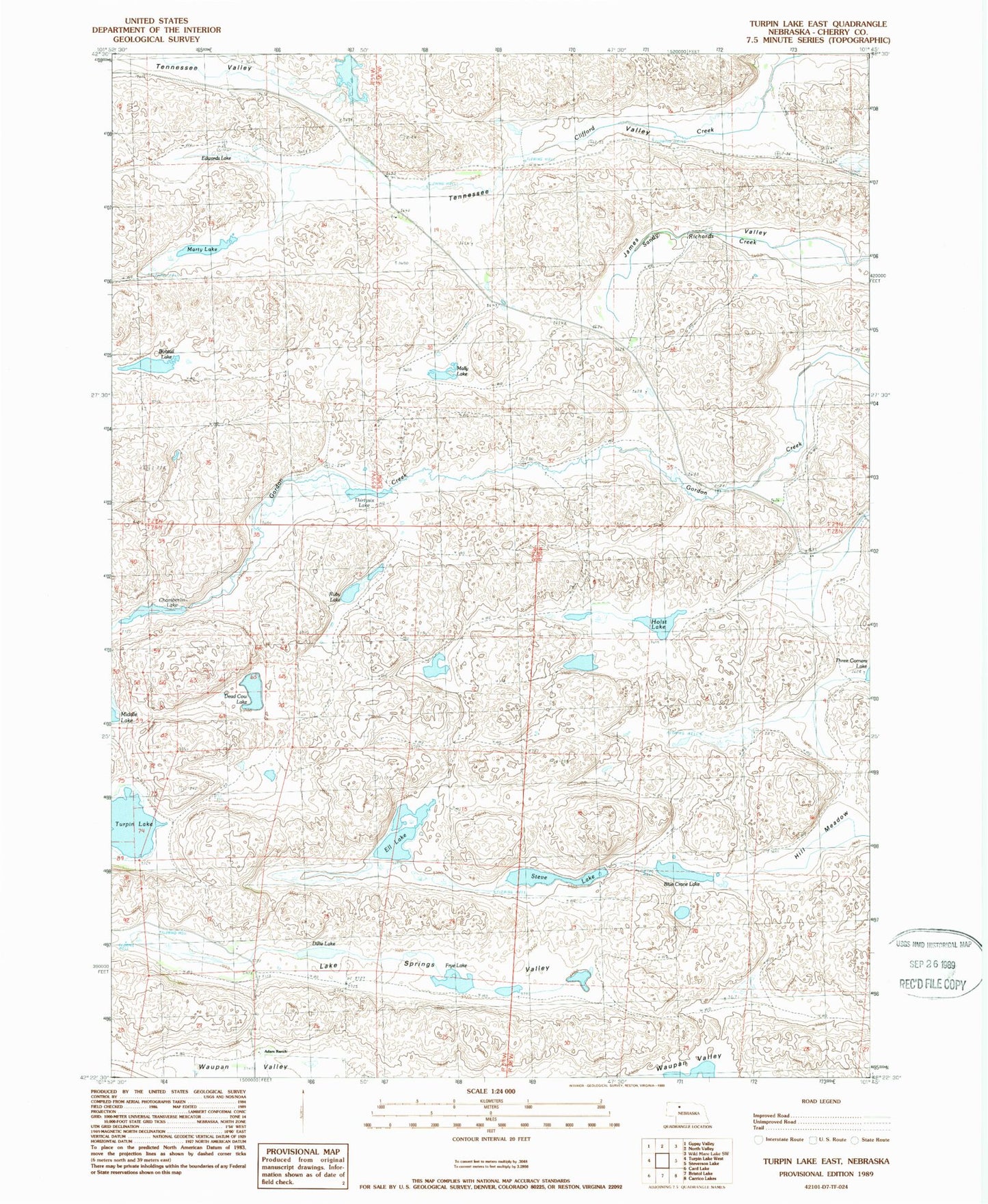
Historical USGS topographic quad map of Turpin Lake East in the state of Nebraska. Map scale may vary for some years, but is generally around 1:24,000. Print size is approximately 24" x 27"
This quadrangle is in the following counties: Cherry.
The map contains contour lines, roads, rivers, towns, and lakes. Printed on high-quality waterproof paper with UV fade-resistant inks, and shipped rolled.
Contains the following named places: Adam Ranch, Blue Crane Lake, Bobtail Lake, Chamberlin Lake, Dead Cow Lake, Dillie Lake, Edwards Lake, Ell Lake, Frye Lake, Gordon Valley Dam, Gordon Valley Reservoir, Holst Lake, James Valley, Lake Springs Valley, Mally Lake, Marty Lake, Ruby Lake, School Number 162, Steve Lake, Tennessee Valley, Thirty-Six Lake, Turpin Lake