MyTopo
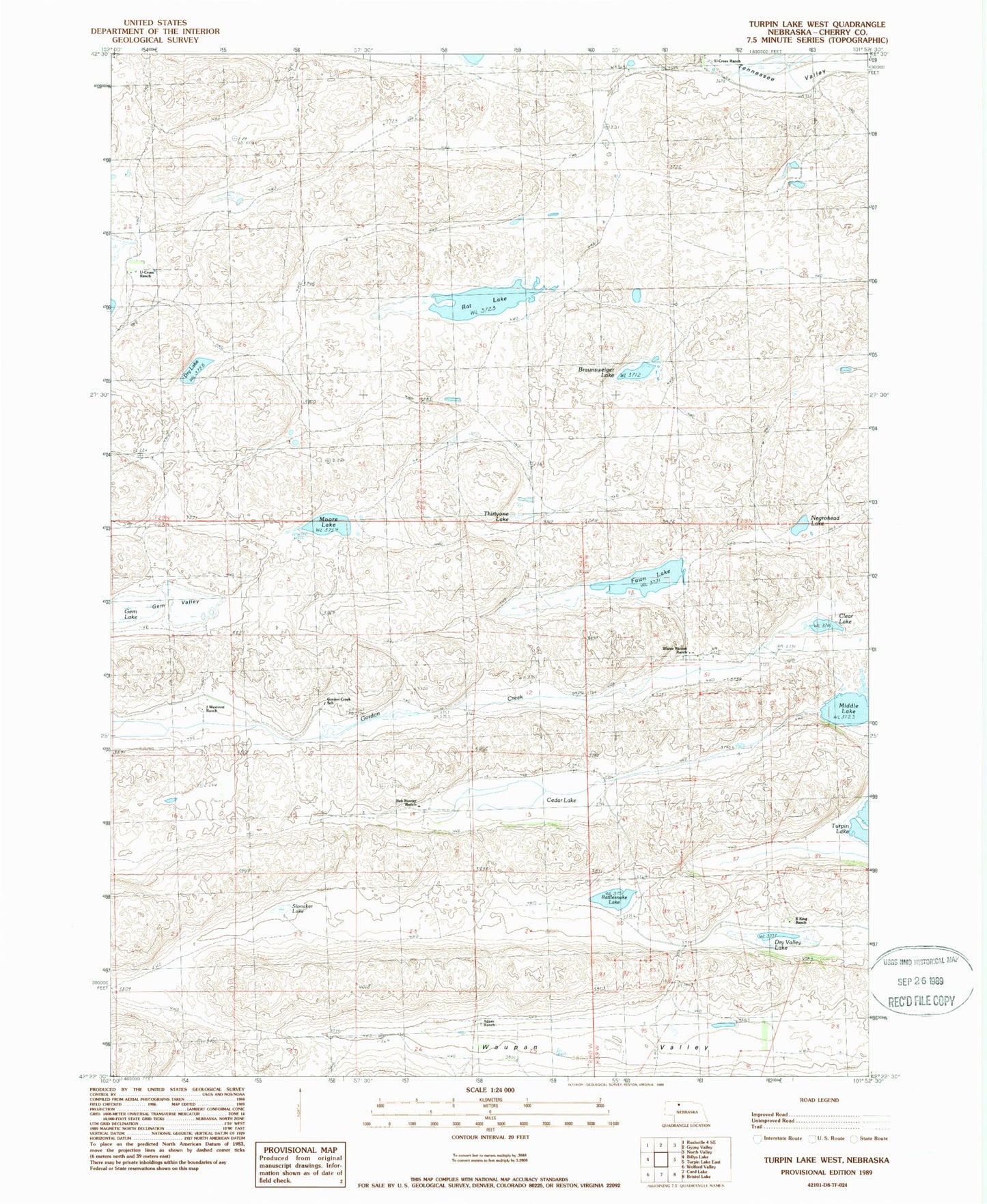
Classic USGS Turpin Lake West Nebraska 7.5'x7.5' Topo Map
Couldn't load pickup availability
Historical USGS topographic quad map of Turpin Lake West in the state of Nebraska. Map scale may vary for some years, but is generally around 1:24,000. Print size is approximately 24" x 27"
This quadrangle is in the following counties: Cherry.
The map contains contour lines, roads, rivers, towns, and lakes. Printed on high-quality waterproof paper with UV fade-resistant inks, and shipped rolled.
Contains the following named places: Adam Ranch, Beckwith Ranch, Blaine Runner Ranch, Bob Runner Ranch, Braunsweiger Lake, Cedar Lake, Clear Lake, Dry Lake, Dry Valley Lake, Fawn Lake, Gem Lake, Gem Valley, Gordon Creek School, Gordon Valley Church, J Westover Ranch, K King Ranch, Middle Lake, Moore Lake, Negrohead Lake, Rat Lake, Rattlesnake Lake, Runner Landing Area, Slonaker Lake, Thirty-One Lake, U Cross Ranch, U-Cross Ranch, Waupan Valley