MyTopo
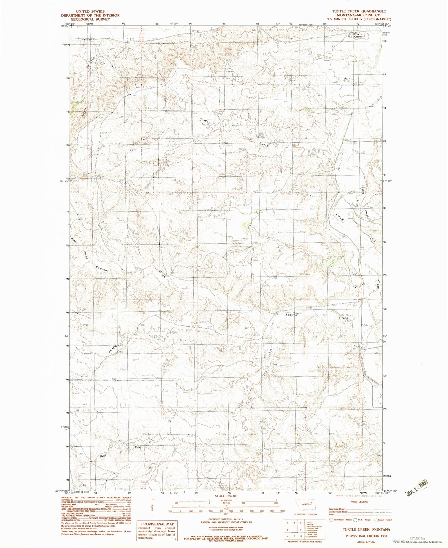
Classic USGS Turtle Creek Montana 7.5'x7.5' Topo Map
Regular price
$16.95
Regular price
Sale price
$16.95
Unit price
per
Couldn't load pickup availability
Historical USGS topographic quad map of Turtle Creek in the state of Montana. Map scale may vary for some years, but is generally around 1:24,000. Print size is approximately 24" x 27"
This quadrangle is in the following counties: McCone.
The map contains contour lines, roads, rivers, towns, and lakes. Printed on high-quality waterproof paper with UV fade-resistant inks, and shipped rolled.
Contains the following named places: 25N45E09ABBB01 Well, 26N44E23AA__01 Well, 26N45E34AAAD01 Well, Alkali Coulee, Big Mud Creek, Four Corners, Green Coulee, Middle Fork Remuda Creek, Nina Post Office, Remuda Creek, Turner School, Turtle Creek, West Fork Remuda Creek