MyTopo
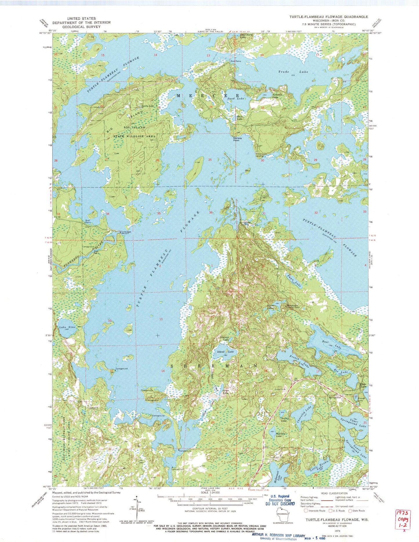
Classic USGS Turtle-Flambeau Flowage Wisconsin 7.5'x7.5' Topo Map
Couldn't load pickup availability
Historical USGS topographic quad map of Turtle-Flambeau Flowage in the state of Wisconsin. Typical map scale is 1:24,000, but may vary for certain years, if available. Print size: 24" x 27"
This quadrangle is in the following counties: Iron.
The map contains contour lines, roads, rivers, towns, and lakes. Printed on high-quality waterproof paper with UV fade-resistant inks, and shipped rolled.
Contains the following named places: Big Island, Big Island State Wildlife Area, Boot Lake, Charnley Lake, Ess Lake, Fawn Lake, Fourmile Creek, French Lake, Hay Creek-Hoffman Lake State Wildlife Area, Island Creek, Island Lake, Keough Lake, Little Muskie Lake, Lower Springstead Lake, Mystery Lake, Lake Nine, Nokomis Lake, Norma Lake, Norway Point, Otter Creek, Otter Lake, Realty Lake, Ruth Lake, Sand Lake, Sister Lakes, Trude Lake, Turtle Dam, Turtle River, Upper Springstead Lake, Vincent Lake, Fishermans Landing, Springstead, Springstead Landing, McDermott Lake, Turtle-Flambeau Flowage, Springstead Lookout Tower, Flambeau Reservoir WP268 Dam, Flambeau Flowage 666, Sherman Townhall, Springstead School (historical), Blair Lake Airport


