MyTopo
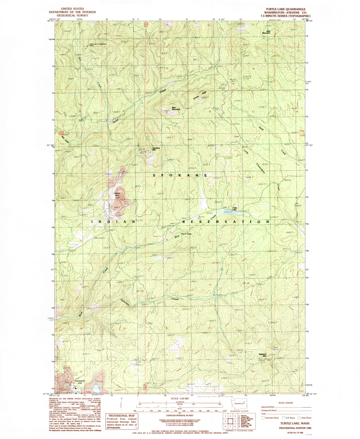
Classic USGS Turtle Lake Washington 7.5'x7.5' Topo Map
Couldn't load pickup availability
Historical USGS topographic quad map of Turtle Lake in the state of Washington. Map scale may vary for some years, but is generally around 1:24,000. Print size is approximately 24" x 27"
This quadrangle is in the following counties: Stevens.
The map contains contour lines, roads, rivers, towns, and lakes. Printed on high-quality waterproof paper with UV fade-resistant inks, and shipped rolled.
Contains the following named places: Bear Mountain, Blue Creek Camp, Deer Mountain, Germania Consolidated Mine, Grouse Ridge, Midnight Mine, Owl Creek, Oyachen Creek, Rail Creek, Sherwood Project Tailings Dam, Spokane Mountain, Spokane Reservation, Spokane Reservation Division, Turtle Lake, Wellpinit Mountain, ZIP Code: 99040