MyTopo
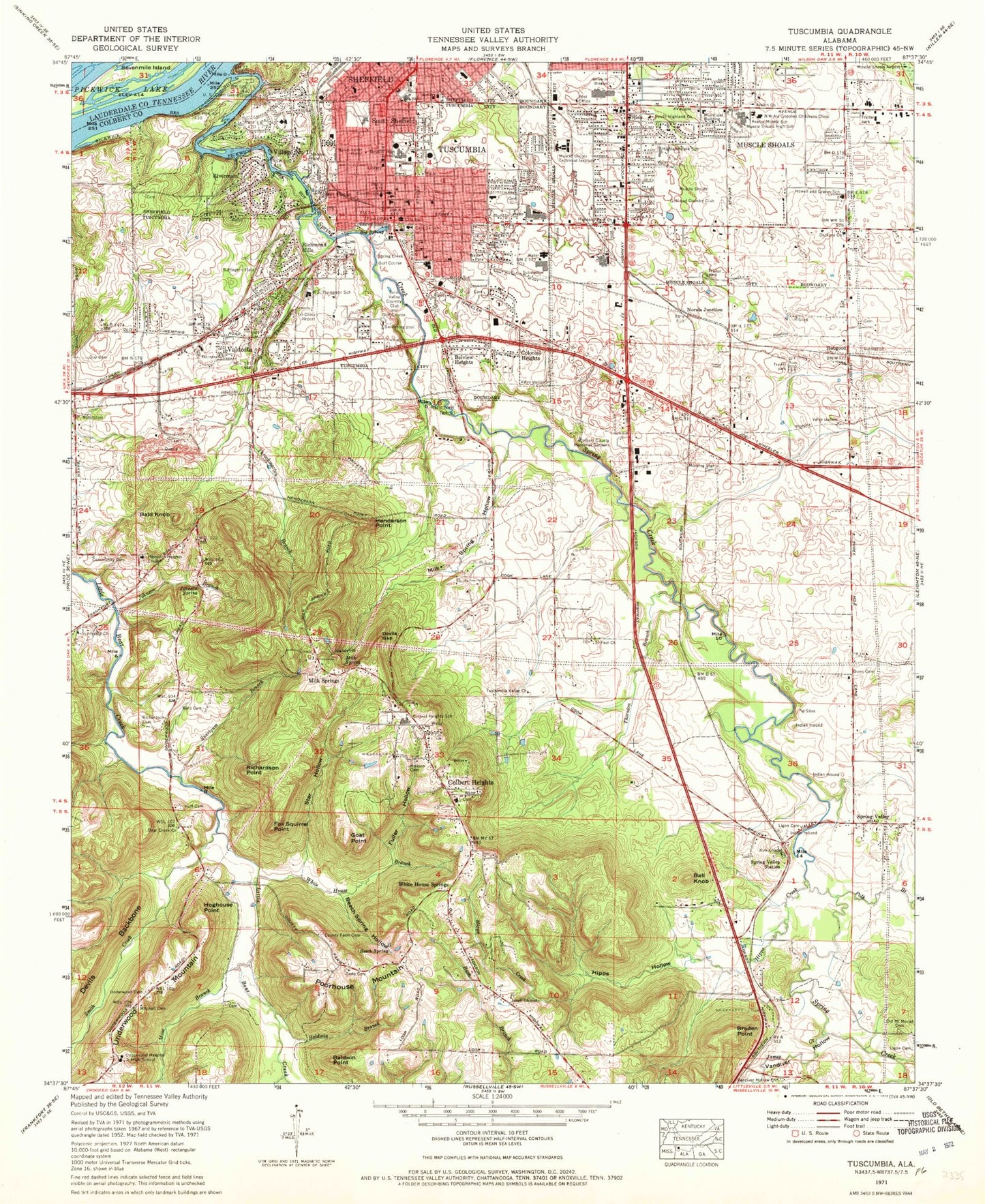
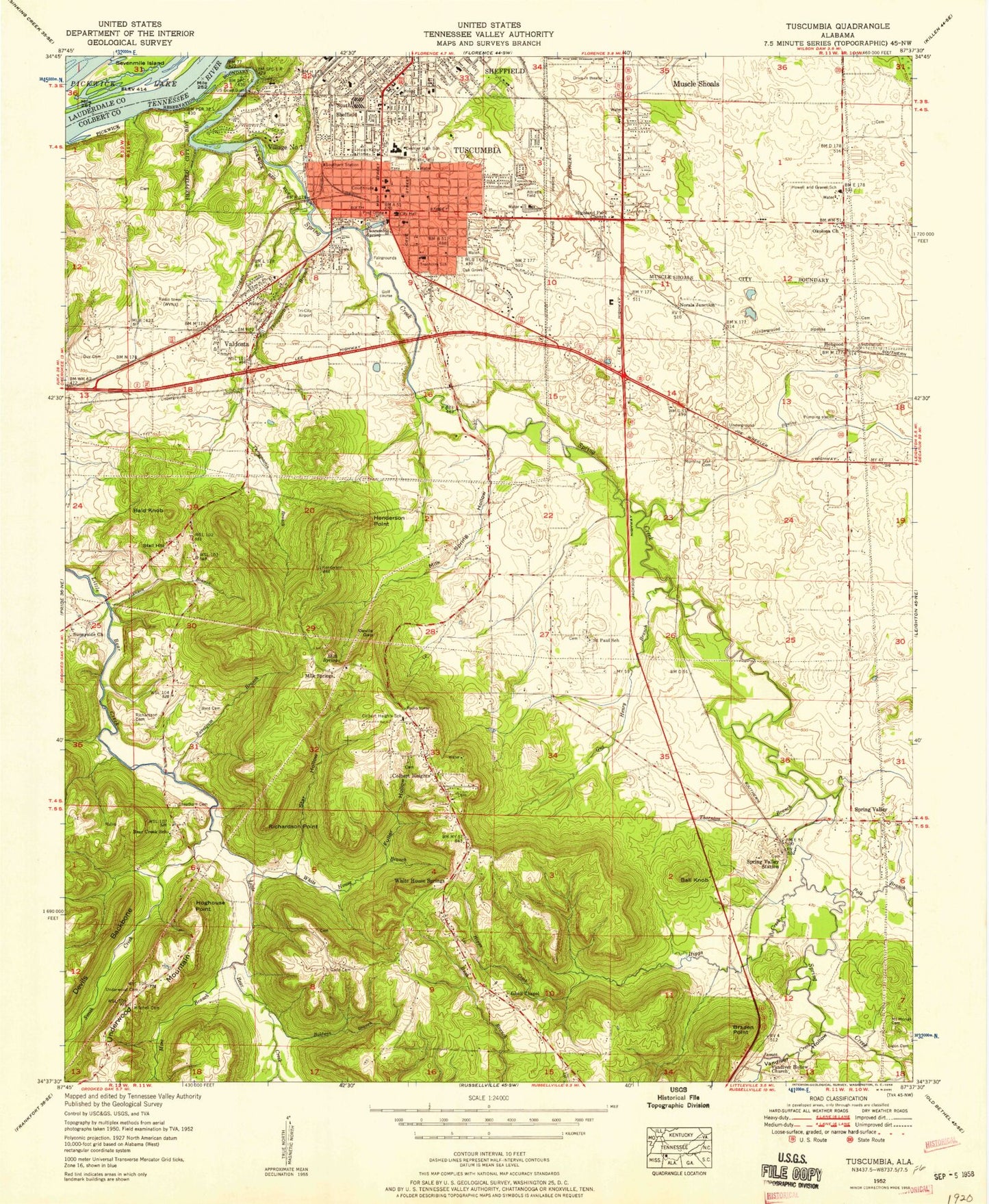
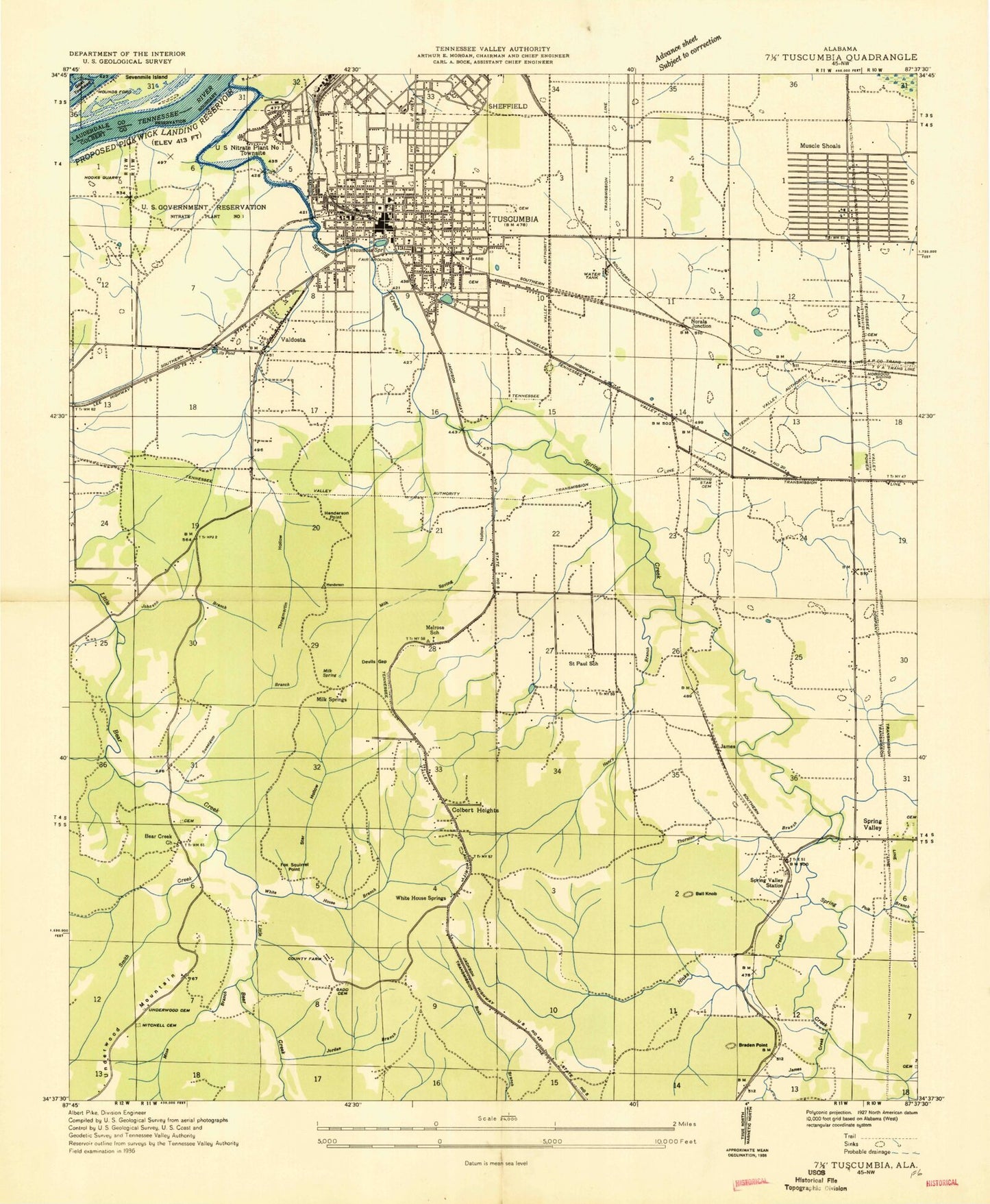
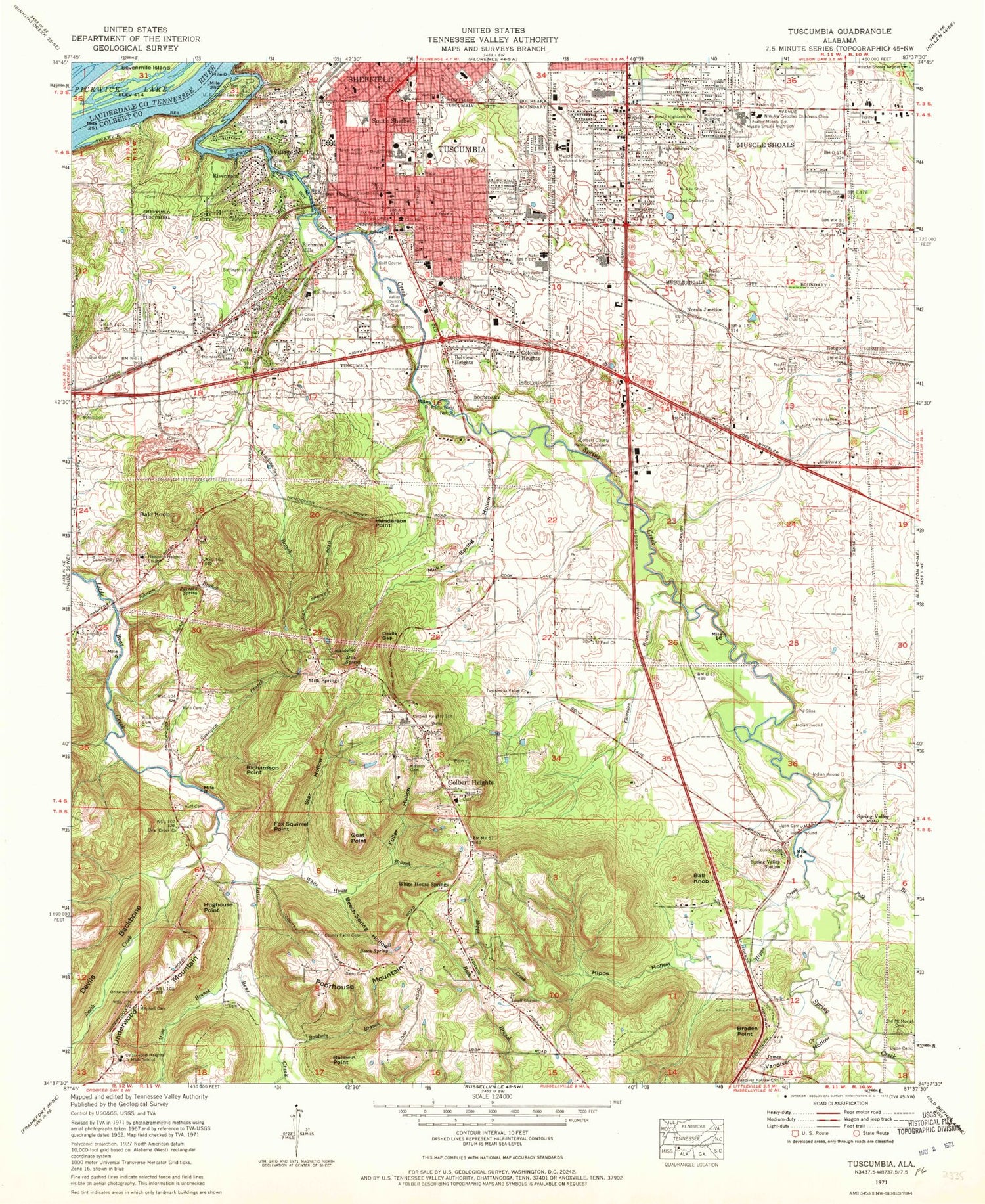
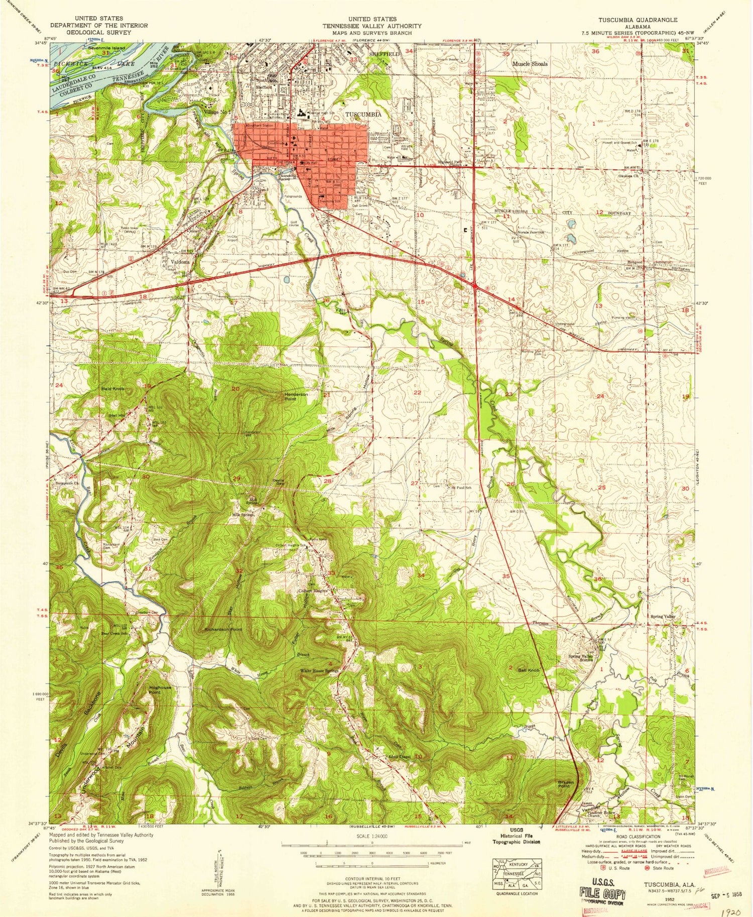
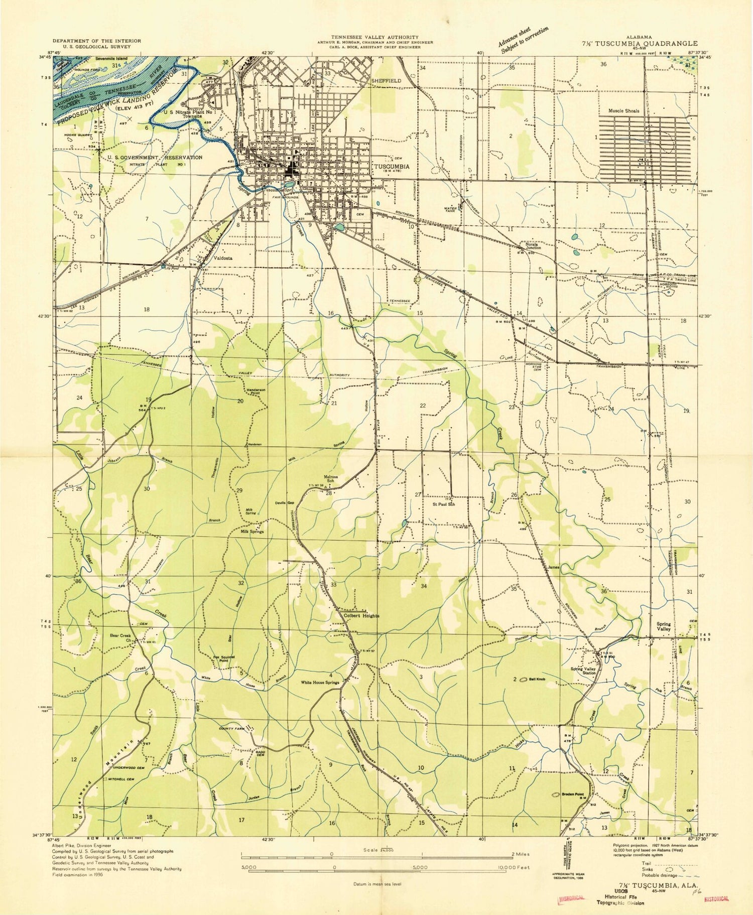
Classic USGS Tuscumbia Alabama 7.5'x7.5' Topo Map
Couldn't load pickup availability
Historical USGS topographic quad map of Tuscumbia in the state of Alabama. Map scale may vary for some years, but is generally around 1:24,000. Print size is approximately 24" x 27"
This quadrangle is in the following counties: Colbert, Lauderdale.
The map contains contour lines, roads, rivers, towns, and lakes. Printed on high-quality waterproof paper with UV fade-resistant inks, and shipped rolled.
Contains the following named places: Avalon Middle School, Avalon Missionary Baptist Church, Avalon Park, Bald Knob, Baldwin Branch, Baldwin Point, Ball Knob, Bear Creek, Bear Creek Missionary Baptist Church, Bear Creek School, Beech Spring, Beech Spring Hollow, Belle Mont, Belview Heights, Big River Airpark, Big Spring, Braden Point, Brewster Elementary School, Buffington Field, Burton Cemetery, Byrd Cemetery, Calvary Baptist Church, Cave Street School, Cheatham Post Office, Christ the King Lutheran Church, Church of Christ, Church of God, City of Muscle Shoals, City of Tuscumbia, Colbert County Courthouse Square Historic District, Colbert County Farm, Colbert County Memorial Gardens, Colbert County Sheriff's Office, Colbert Heights, Colbert Heights Church of Christ, Colbert Heights First Baptist Church, Colbert Heights School, Colbert Heights Volunteer Fire Department, Colbert Mountain, Colonial Heights, Community Cemetery, Cook Creek, County Farm Cemetery, Crossroads School, Deshler High School, Deshler Institute, Devils Backbone, Devils Gap, Dry Creek, East Haven, Elliotts Vineyard, Elliotts Vineyard Post Office, Everdale Missionary Baptist Church, First Baptist Church, First Methodist Church, First Presbyterian Church, First United Methodist Church, Fox Squirrel Point, Full Gospel Tabernacle, Fuller Hollow, Gadd Cemetery, Goat Point, Green Acres Church, Gunn Cemetery, Guy Cemetery, Hampton Heights Baptist Church, Helen Keller Home, Helen Keller Hospital, Henderson Point, Henson Cemetery, High Street Church of Christ, Highland Park, Highland Park Church, Highland Park School, Hipps Creek, Hipps Hollow, Hobgood, Hobgood Cemetery, Hoghouse Point, Hook Street Baptist Church, Hope Haven School, Houston Corner, Howell and Graves School, Huff Cemetery, Isbell Chapel Missionary Baptist Church, Ivy Green, Jackson Heights, James, James Creek, James F Moore Stadium, John W Gattman Park, Johnson Branch, Johnson Spring, Kingdom Hall of Jehovahs Witnesses, Kirk Chapel, Lee Station, Lesley Christian Methodist Episcopal Temple, Ligon Cemetery, Manor Haven, Melrose, Melrose School, Milk Spring, Milk Spring Hollow, Milk Springs, Mitchell Cemetery, Morning Star Cemetery, Morning Star School, Mose Branch, Mounds Ford, Mount Hope Baptist Church, Muscle Shoals, Muscle Shoals Fire Department Station 1, Muscle Shoals Golf and Country Club, Muscle Shoals High School, Muscle Shoals Police Department, Muscle Shoals Post Office, Muscle Shoals Technical Institute, Muscle Shoals Vocational School, Nitrate Village Number 1 Historic District, Norala Junction, North Alabama State Fair Park, North West Alabama Crippled Childrens Clinic, Northside Elementary School, Northwest Alabama Junior College, Oakwood Cemetery, Oka Kapassa, Okolona Baptist Church, Old Mount Moriah Cemetery, Our Lady of the Shoals Catholic Church, Park Terrace Cumberland Presbyterian Church, Park West, Pine Bluff Estates, Planters Row, Polk Branch, Poorhouse Mountain, R E Thompson Elementary School, Richardson Cemetery, Richardson Point, Richmond Hills, Rivermont, Rivermont Park, Saint Johns Episcopal Church, Saint Paul African Methodist Episcopal Church, Saint Paul Missionary Baptist Church, Saint Paul School, Sevenmile Island Wildlife Management Area, Sheffield Youth Park, Shoals Bible Baptist Church, Shoals Hospital, Shoals Plaza Shopping Center, Smith Creek, South Highland Freewill Baptist Church, South Sheffield, Southeast Elementary School, Southgate Mall Shopping Center, Southside School, Southwest Church of the Nazarene, Southwest Elementary School, Spring Creek, Spring Creek Golf Course, Spring Creek School, Spring Park, Spring Valley Baptist Church, Spring Valley Station, Star Hollow, Stinking Bear Creek, Sunnyside Church of God, Sweetgum Branch, Tennessee Valley Country Club and Golf Course, The Commons, Thornton Branch, Throckmorton Branch, Trenholm Heights, Trenholm High School, Tri Cities Airport, Tri-Cities Division, Tuscumbia, Tuscumbia Fire Department, Tuscumbia Historic District, Tuscumbia Landing, Tuscumbia Police Department, Tuscumbia Post Office, Tuscumbia Quarry, Tuscumbia Valley, Tuscumbia Valley Church, Underwood Cemetery, Underwood Heights, Underwood Heights Junior High School, Underwood Mountain, Valdosta, Valdosta Baptist Church, Valdosta Church of Christ, Vandiver Hollow, Vandiver Hollow Missionary Baptist Church, Victory Missionary Baptist Church, Village Number 1, WBTG-FM (Sheffield), West Side Baptist Church, Westside Church of Christ, White House Branch, White House Spring, White House Springs, WQLT-FM (Florence), WRCK Radio Tower, WZZA-AM (Tuscumbia)
