MyTopo
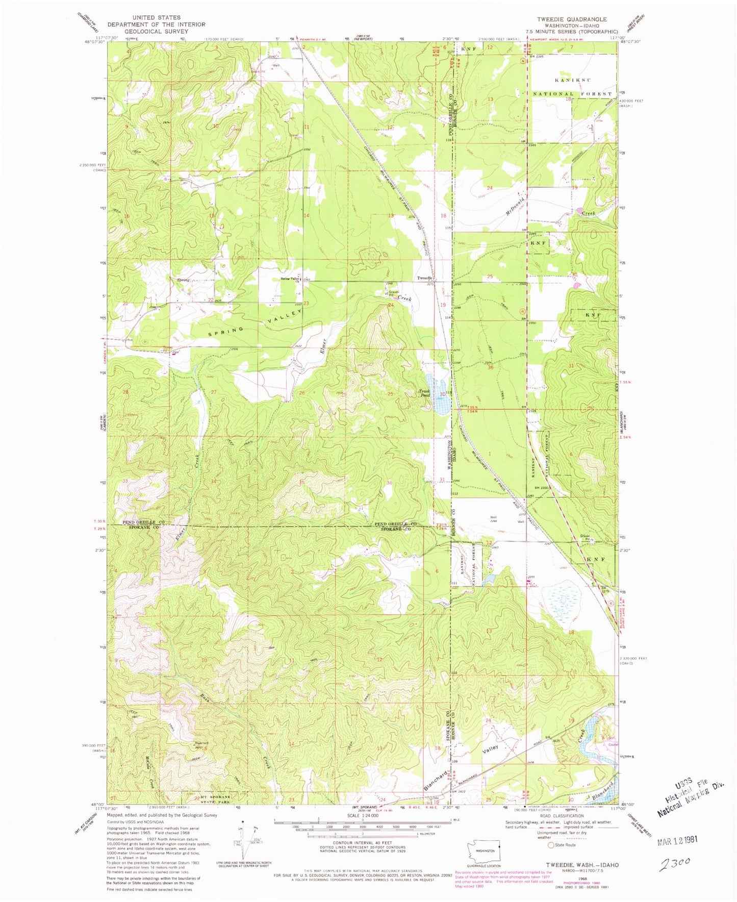
Classic USGS Tweedie Washington 7.5'x7.5' Topo Map
Couldn't load pickup availability
Historical USGS topographic quad map of Tweedie in the states of Washington, Idaho. Map scale may vary for some years, but is generally around 1:24,000. Print size is approximately 24" x 27"
This quadrangle is in the following counties: Bonner, Pend Oreille, Spokane.
The map contains contour lines, roads, rivers, towns, and lakes. Printed on high-quality waterproof paper with UV fade-resistant inks, and shipped rolled.
Contains the following named places: Bensons Spur, Blanchard Creek Dam, Blanchard Valley, Elmer Creek, Lake San Souci, McDonald Creek, Pend Oreill Valley Seventh Day Adventist School, Pend Oreille Fire District 8, Spirit Valley, Spring Valley, Spring Valley Church, Stoneridge Dam, Trask Pond, Tweedie