MyTopo
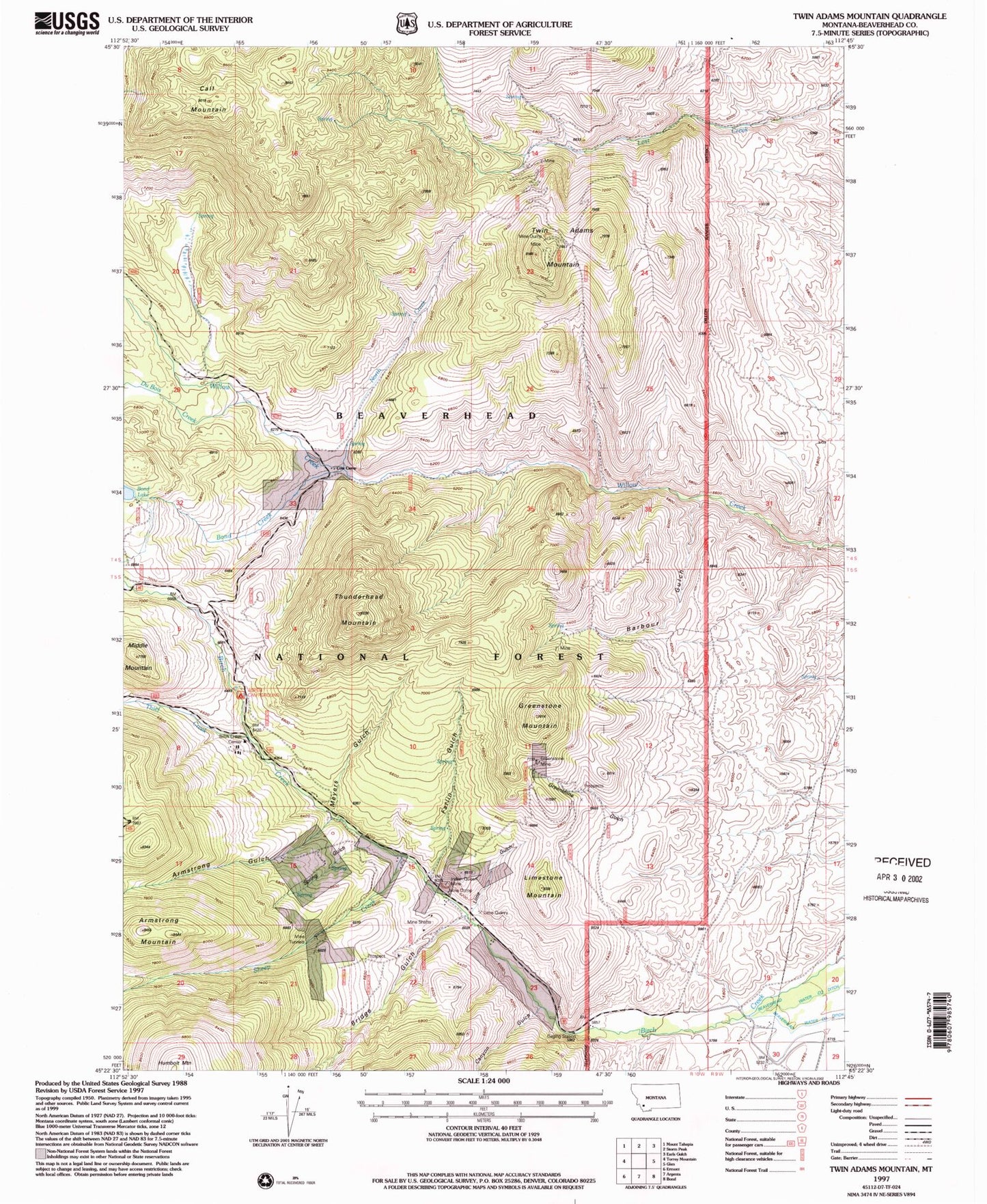
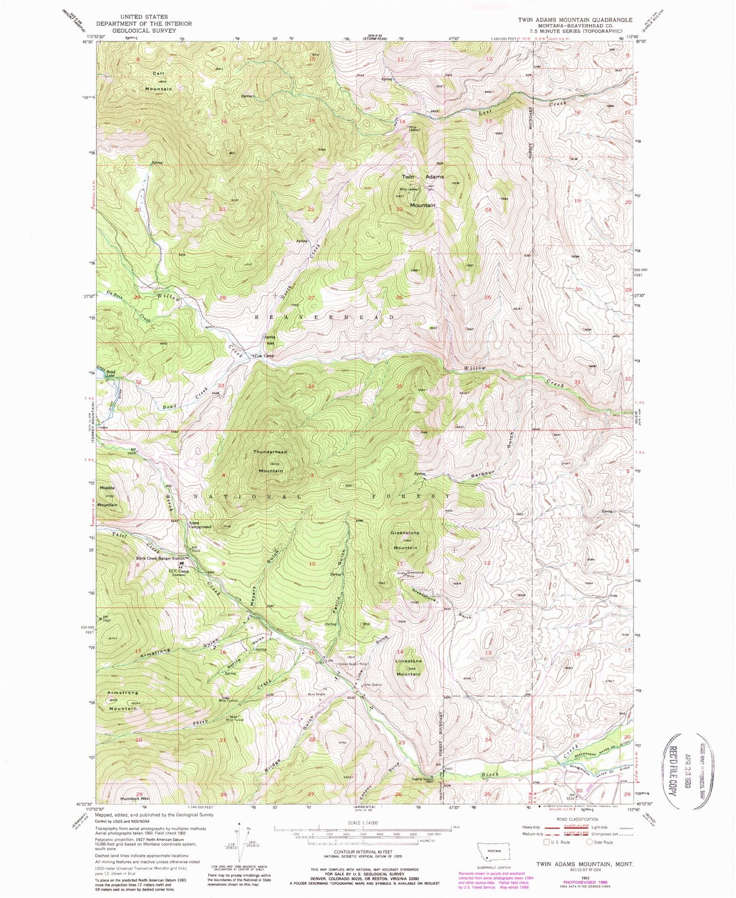
Classic USGS Twin Adams Mountain Montana 7.5'x7.5' Topo Map
Couldn't load pickup availability
Historical USGS topographic quad map of Twin Adams Mountain in the state of Montana. Map scale may vary for some years, but is generally around 1:24,000. Print size is approximately 24" x 27"
This quadrangle is in the following counties: Beaverhead.
The map contains contour lines, roads, rivers, towns, and lakes. Printed on high-quality waterproof paper with UV fade-resistant inks, and shipped rolled.
Contains the following named places: 05S10W02DABB01 Spring, Armstrong Gulch, Armstrong Mountain, Aspen Campground, Barbour Gulch, Barbour Gulch Mine, Birch Creek Ranger Station, Bond Creek, Bond Lake Dam, Bridge Gulch, Call Mountain, Canyon Gulch, Cow Camp, DuBois Creek, Farlin, Farlin Gulch, Farlin Post Office, Farlin School, Glowworm/Greenhorn Mine, Greenstone Mine, Greenstone Mountain, Indian Queen Mine, Lime Gulch, Lime Gulch Mine, Limestone Mountain, Lost Fraction Mine, Lower Bridge Gulch Mine, Meyers Gulch, Middle Mountain, North Creek, SE SW Section 16 Mine, Sheep Creek, Spring Gulch, Sugar Loaf Mine, Thief Creek, Thunderhead Mountain, Twin Adams Mine, Twin Adams Mountain, Upper Bridge Gulch Mine


