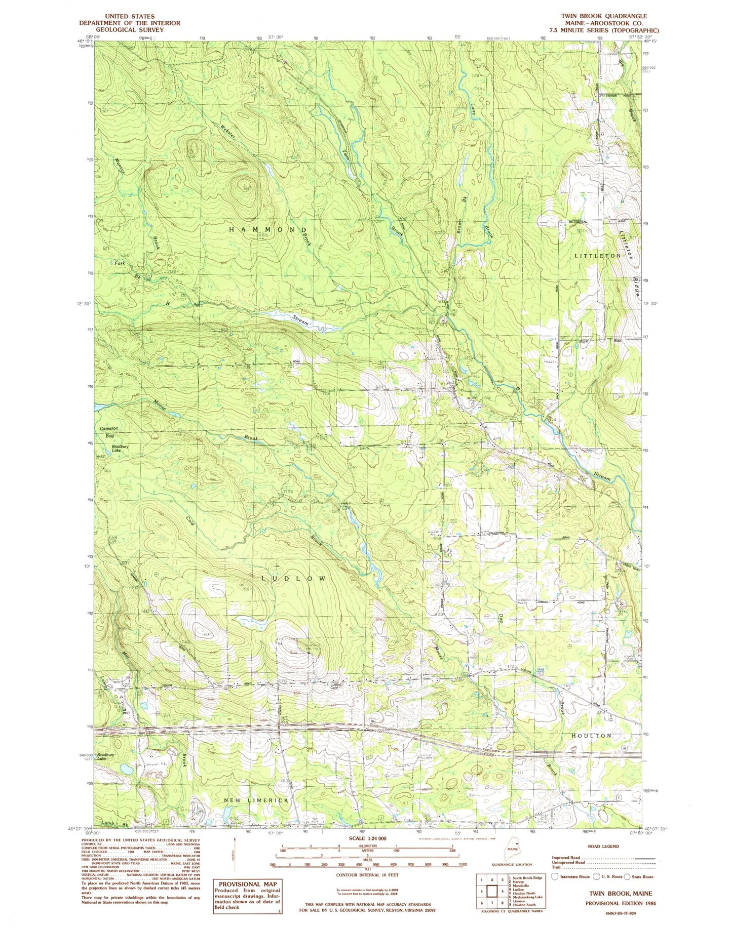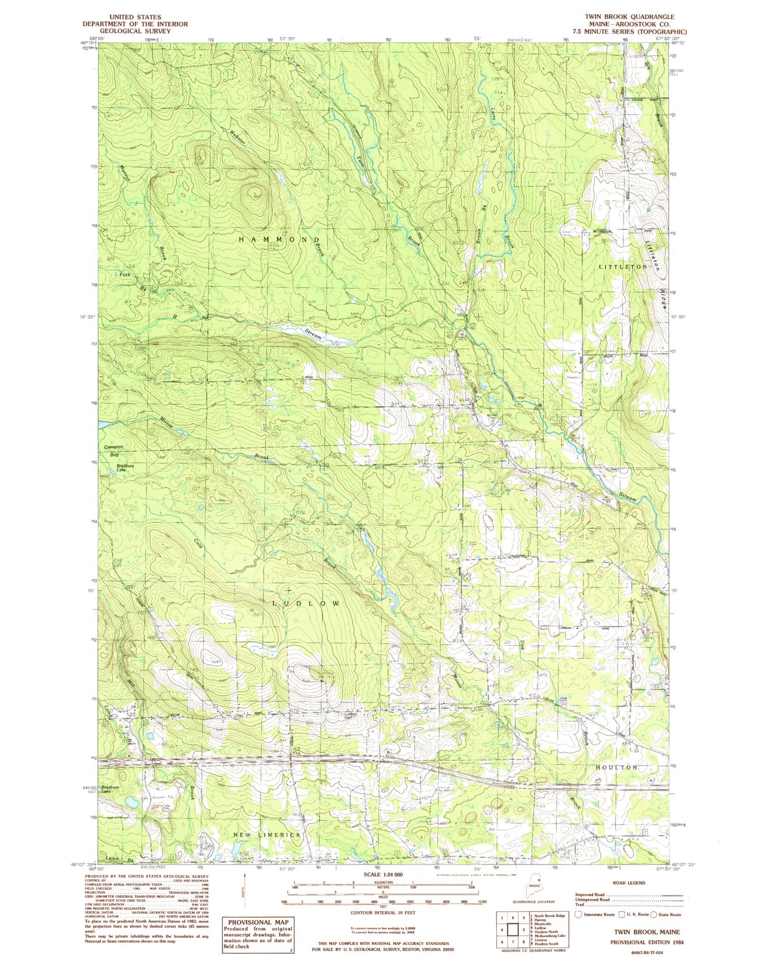
MyTopo
Classic USGS Twin Brook Maine 7.5'x7.5' Topo Map
Couldn't load pickup availability
Historical USGS topographic quad map of Twin Brook in the state of Maine. Typical map scale is 1:24,000, but may vary for certain years, if available. Print size: 24" x 27"
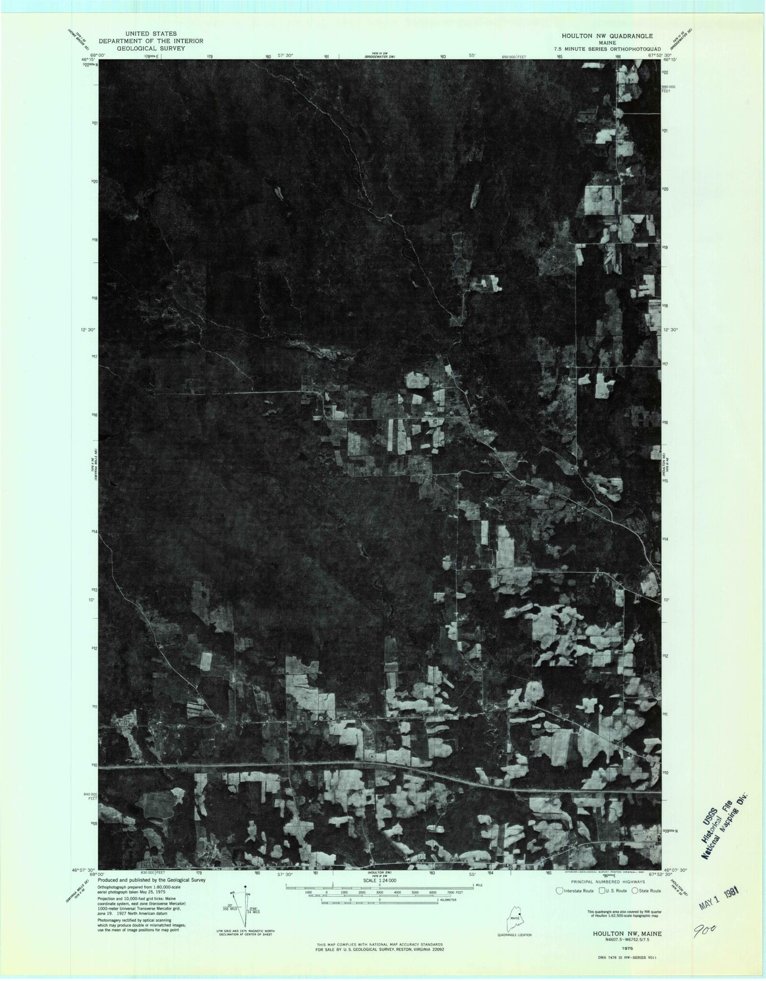
This quadrangle is in the following counties: Aroostook.
The map contains contour lines, roads, rivers, towns, and lakes. Printed on high-quality waterproof paper with UV fade-resistant inks, and shipped rolled.
Contains the following named places: B School, Baptist Church, Bradbury Lake, Brown Brook, Caineron Bog, Cold Brook, Conlogue School, Dog Brook, Fork Brook, Lamb Brook, Larry Brook, Littleton Ridge, Mansur Brook, Rideout School, Twin Brook, Webster Brook, Transoceanic Telephone Receiving Station, Town of Hammond, Town of Ludlow, Pike Pond Dam, Pike Pond, New Limerick Post Office, Ludlow Cemetery