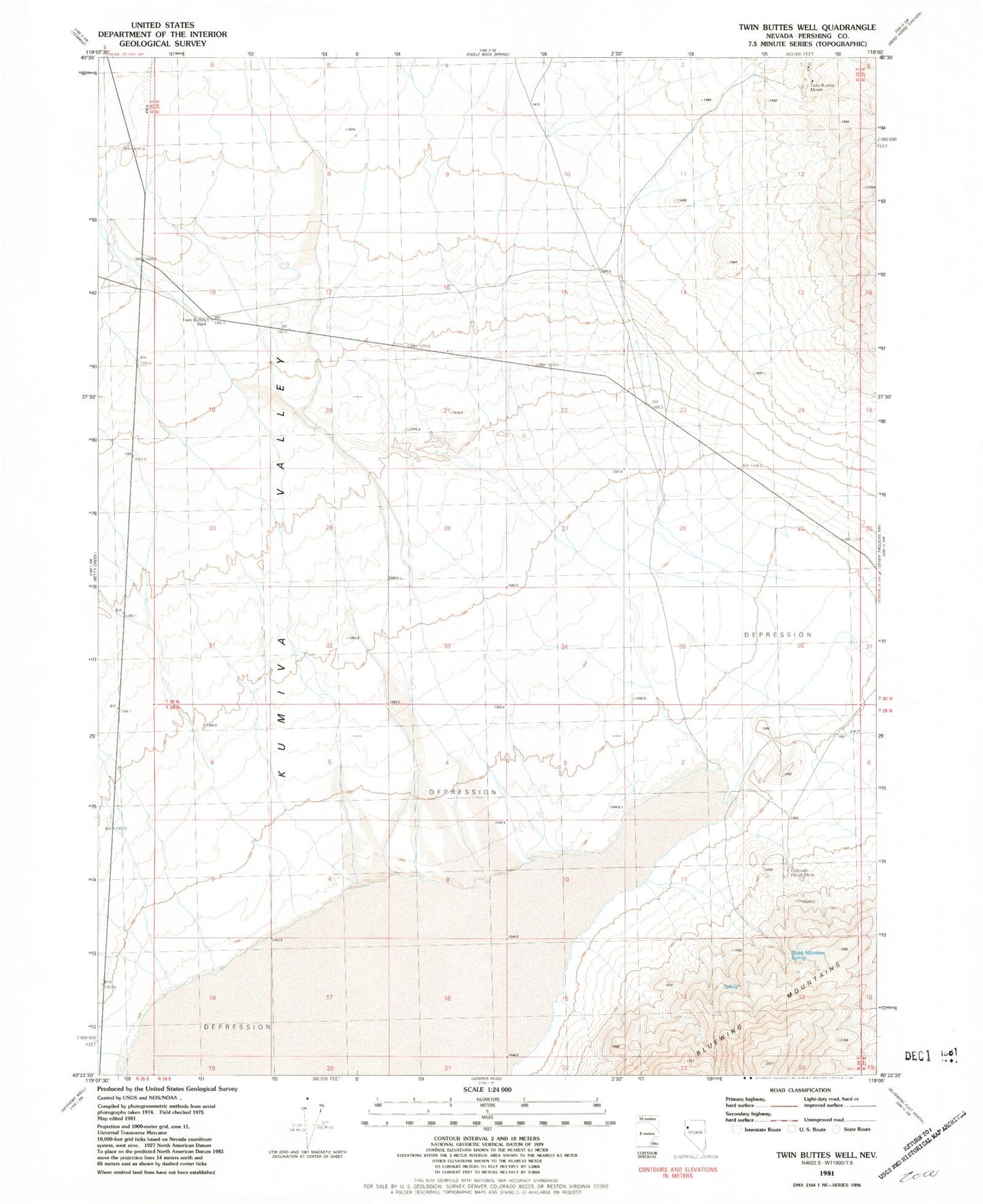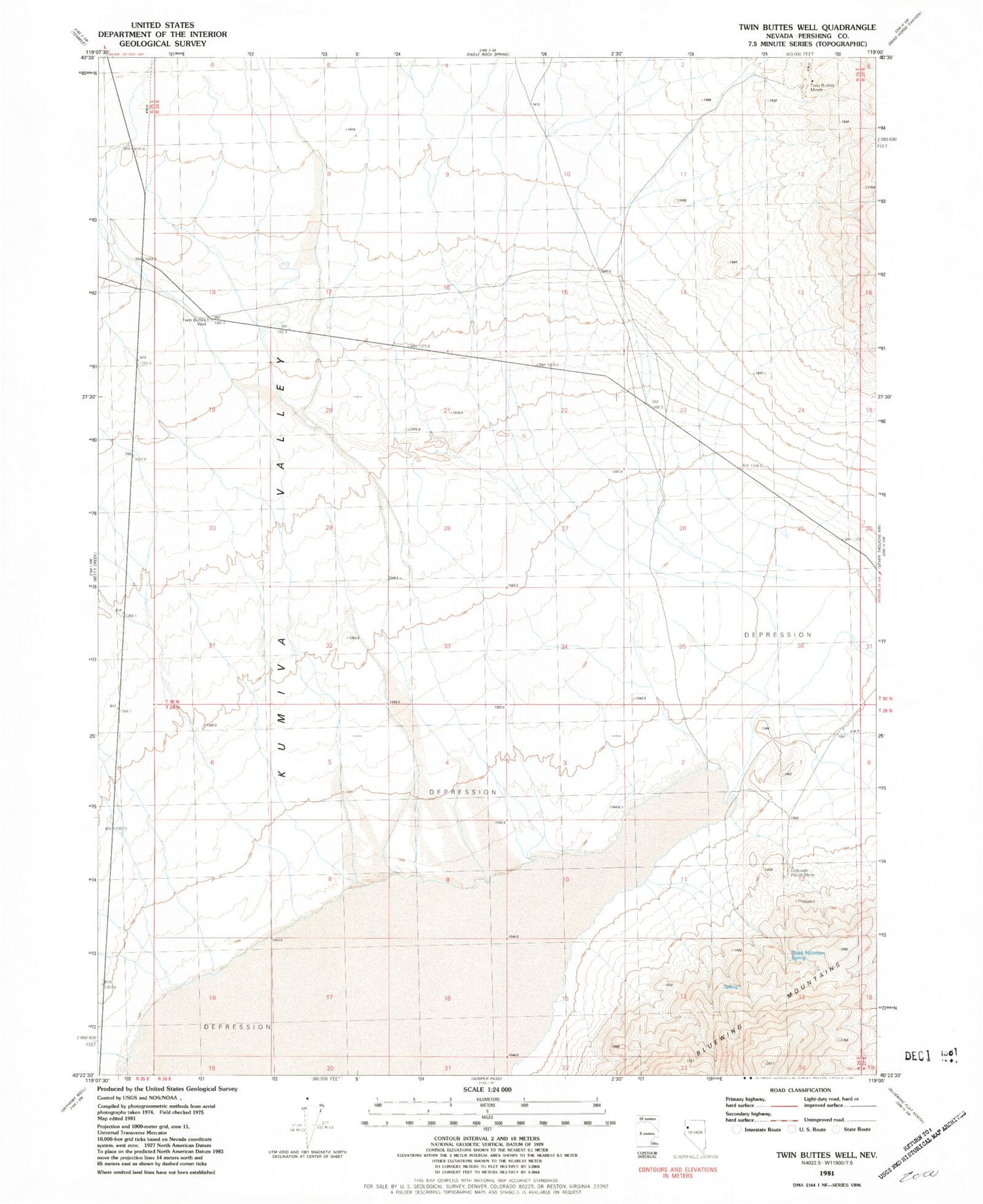
MyTopo
Classic USGS Twin Buttes Well Nevada 7.5'x7.5' Topo Map
Regular price
$16.95
Regular price
Sale price
$16.95
Unit price
per
Couldn't load pickup availability
Historical USGS topographic quad map of Twin Buttes Well in the state of Nevada. Map scale may vary for some years, but is generally around 1:24,000. Print size is approximately 24" x 27"
This quadrangle is in the following counties: Pershing.
The map contains contour lines, roads, rivers, towns, and lakes. Printed on high-quality waterproof paper with UV fade-resistant inks, and shipped rolled.
Contains the following named places: Betty Creek, Black Mountain Spring, Colorado Placer Mine, Dry Lake, Kumiva Valley, Little Meadow Creek, Missouri Creek, Springer Mine, Twin Buttes Mines, Twin Buttes Well, United States Naval Gunnery Range