MyTopo
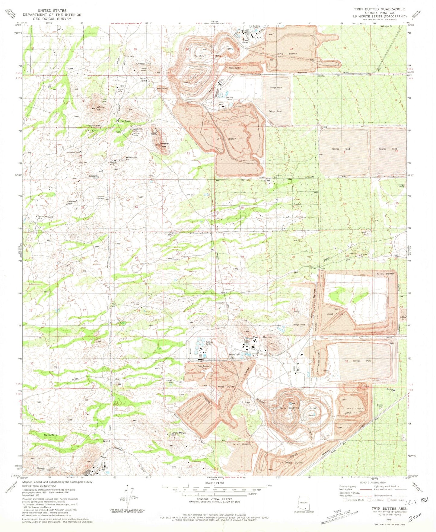
Classic USGS Twin Buttes Arizona 7.5'x7.5' Topo Map
Couldn't load pickup availability
Historical USGS topographic quad map of Twin Buttes in the state of Arizona. Map scale may vary for some years, but is generally around 1:24,000. Print size is approximately 24" x 27"
This quadrangle is in the following counties: Pima.
The map contains contour lines, roads, rivers, towns, and lakes. Printed on high-quality waterproof paper with UV fade-resistant inks, and shipped rolled.
Contains the following named places: Angelica Wash, Banner Mine, Bobbie Mine, Dogtown Mine, Duval Commerce Park, Esperanza Tailings Dam, Flying Diamond Airport, Helmet Peak, Helmet Peak Volunteer Fire Department, Indian Kitchen, KGMS-FM (Green Valley), KQYT-FM (Green Valley), Marjorie Wash, Mineral Hill, Mineral Hill Mine, Mission Mine, Mission Tailings Dam Number One, Missions Tailings Dam Number Two, Olivette Mine, Paymaster Mine, Pima Mine, Prosperity Mine, Punta del Agua, Rodolfo Wash, Ruby Star Airpark, Ruby-Star Ranch, San Xavier, San Xavier Mine, Senator Morgan Mine, Swastika Mine, Twin Buttes, Twin Buttes Cemetery, Twin Buttes Mine, Twin Buttes Tailings Dam, University Mine, Vulcan Mine, Whitcomb Hill, White Hill, ZIP Code: 85629


