MyTopo
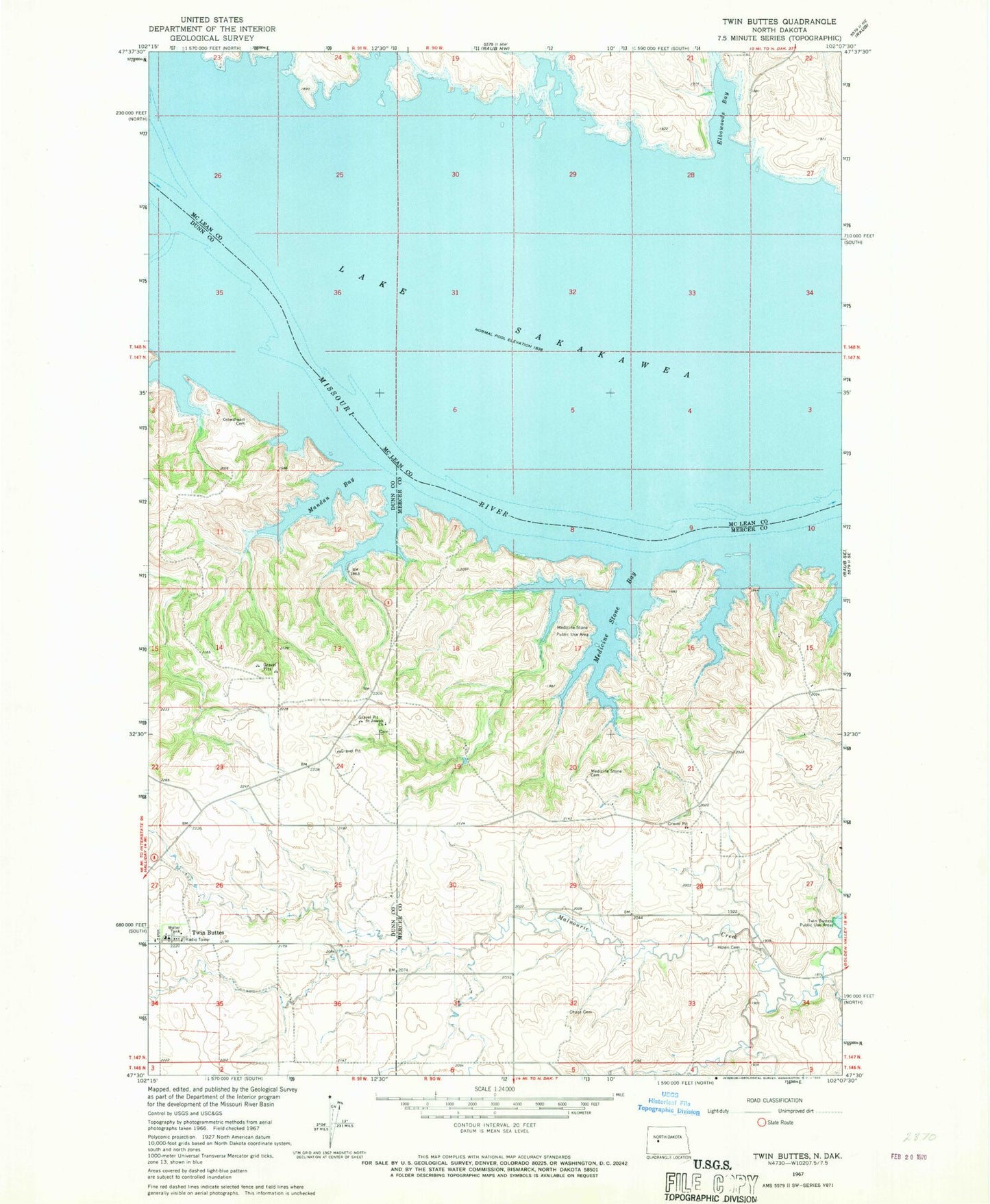
Classic USGS Twin Buttes North Dakota 7.5'x7.5' Topo Map
Couldn't load pickup availability
Historical USGS topographic quad map of Twin Buttes in the state of North Dakota. Map scale may vary for some years, but is generally around 1:24,000. Print size is approximately 24" x 27"
This quadrangle is in the following counties: Dunn, McLean, Mercer.
The map contains contour lines, roads, rivers, towns, and lakes. Printed on high-quality waterproof paper with UV fade-resistant inks, and shipped rolled.
Contains the following named places: Chase Cemetery, Crowsheart Cemetery, Elbowoods, Elbowoods Bay, Fredericks Ranch Airport, Holen Cemetery, Little Missouri Bend, Mandan Bay, Medicine Stone Bay, Medicine Stone Cemetery, Medicine Stone Public Use Area, Saint Joseph Church, Saint Joseph's Catholic Church Cemetery, Twin Buttes, Twin Buttes Elementary School, Twin Buttes Segment