MyTopo
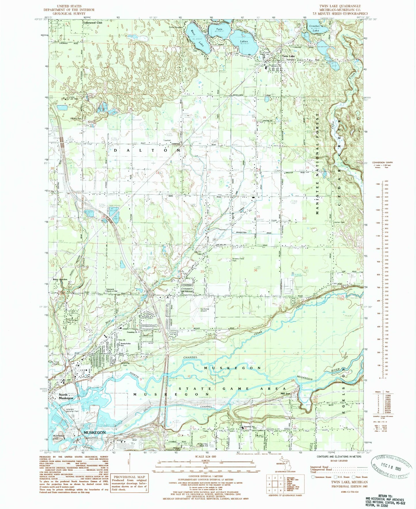
Classic USGS Twin Lake Michigan 7.5'x7.5' Topo Map
Couldn't load pickup availability
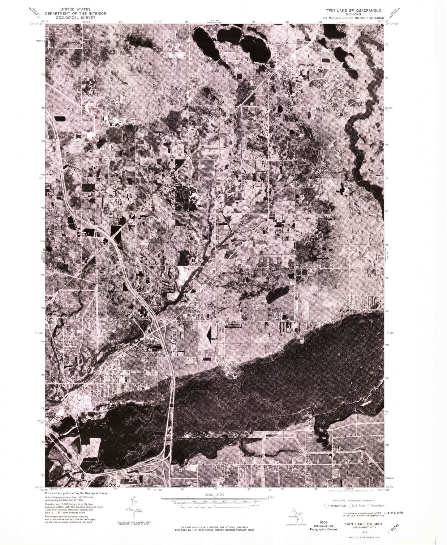
Historical USGS topographic quad map of Twin Lake in the state of Michigan. Map scale may vary for some years, but is generally around 1:24,000. Print size is approximately 24" x 27"
This quadrangle is in the following counties: Muskegon.
The map contains contour lines, roads, rivers, towns, and lakes. Printed on high-quality waterproof paper with UV fade-resistant inks, and shipped rolled.
Contains the following named places: B C Cobb Heliport, Baker School, Brandstron Drain, Browns Field Park, Calvary Memorial Church, Camp Douglass, Camp Lor-Ray, Cedar Creek, Charter Township of Muskegon, Chase Hammond Golf Course, Crocker Lake, Dalson School, Dalton Church, Dalton Township Fire Department, Dalton Township Public Library, East Dalton Oak Hill Cemetery, Fifth Reformed Church, First Christian Church, Fourmile Creek, Friendship Church, Furman Drain, Gustafson School, Horton Cemetery, Kingdom Hall of Jehovah's Witnesses, Lake Sch-Nepp-a-do Campground, Little Bear Creek, Middle Channel Muskegon River, Midget Airport, Mill Iron, Muskegon Community College, Muskegon KOA Campground, Muskegon Log Booming Company Historical Marker, Muskegon River, Muskegon State Game Area, Muskegon Township Fire Department Station 2, North Channel Muskegon River, Northside Airport, Oakland Cemetery, Orchard View High School, Orchard View Middle School, Reeths-Puffer Elementary School, Reeths-Puffer High School, Reeths-Puffer Intermediate School, Ribe Drain, Richards Park, Riverside Park, Sheridan Drive Church, Shiloh Baptist Church, Shiloh Tabernacle Church, Stonegate Golf Club, Tabernacle Church of God, Timberline Estates Mobile Home Park, Township of Dalton, Twin Lake, Twin Lake Cemetery, Twin Lake Census Designated Place, Twin Lake Elementary School, Twin Lake Post Office, Twin Lake Station, Twin Lake United Methodist Church, Twin Lakes, Twin Lakes Park, Unity Church, Veterans Memorial Park, West Lake, WLCS-FM (North Muskegon), WMHG-FM (Muskegon), ZIP Code: 49457


