MyTopo
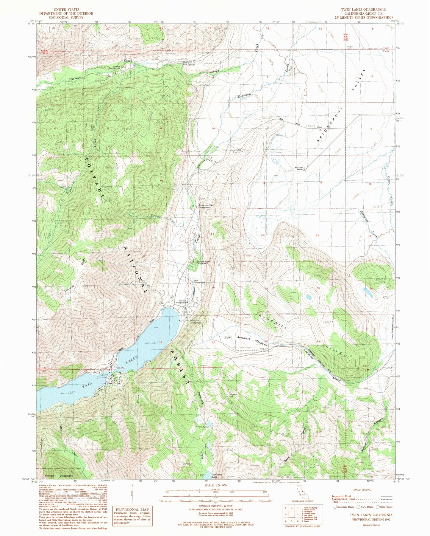
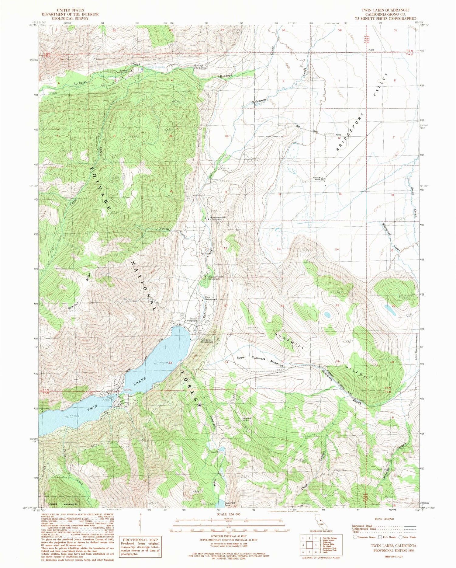
Classic USGS Twin Lakes California 7.5'x7.5' Topo Map
Couldn't load pickup availability
Historical USGS topographic quad map of Twin Lakes in the state of California. Typical map scale is 1:24,000, but may vary for certain years, if available. Print size: 24" x 27"
This quadrangle is in the following counties: Mono.
The map contains contour lines, roads, rivers, towns, and lakes. Printed on high-quality waterproof paper with UV fade-resistant inks, and shipped rolled.
Contains the following named places: Buckeye Hot Spring, Eagle Creek, Honeymoon Flat Campground, Hunewill Hills, Hunewill Ranch, Robinson Creek Campground, Tamarack Lake, Tamarack Mine, Twin Lakes, Twin Lakes Campground, Upper Summers Meadows, Lower Summers Meadows, Buckeye Campground, Paho Campground, Sawmill Campground, Twin Lakes Campground, Bogards Camp (historical), Cameron Canyon, Cattle Creek, Deep Canyon, Labrosse Creek, Summers Creek, Bogards Camp, Eagle Nest Summer Home Area, Hunewill Hills Electronic, Tamarack Creek, Upper Twin Lakes Summer Home Area, Docand Als Resort, Twin Lakes Campground, Lower Twin Lakes Resort, Upper Twin Lake 531 Dam, Lower Twin Lake 531-002 Dam, Twin Lakes Census Designated Place, Twin Lakes


