MyTopo
Classic USGS Twin Lakes Michigan 7.5'x7.5' Topo Map
Couldn't load pickup availability
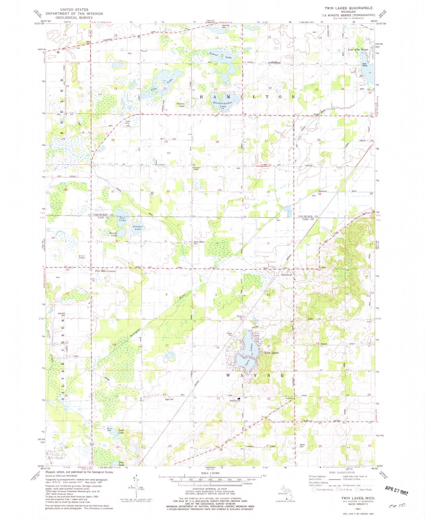
Historical USGS topographic quad map of Twin Lakes in the state of Michigan. Map scale may vary for some years, but is generally around 1:24,000. Print size is approximately 24" x 27"
This quadrangle is in the following counties: Cass, Van Buren.
The map contains contour lines, roads, rivers, towns, and lakes. Printed on high-quality waterproof paper with UV fade-resistant inks, and shipped rolled.
Contains the following named places: Bell School, Celery Center School, Code School, Cook Lake, Field School, Five Mile Corners, Five Mile Drive In Theater, Four Winds Fellowship Church, Gage Cemetery, Gage School, Geer Lake, Glenwood, Glenwood Post Office, Glenwood Seventh Day Adventist Church, Glenwood Station, Glenwood Union Seventh Day Adventist School, Hamilton Cemetery, Hamilton Chapel, Hamilton Grange Hall Historical Marker, Hayden School, Kirkwood School, Knickerbocker Lake, Lake of the Woods Drain, North Wayne Cemetery, North Wayne Mennonite Church, North Wayne School, Oak Shores Campground, Old Past Church of Christ, Old Path Church of God in Christ, Osborn Drain, Osborn Lake, Phelps Mobile Home Park, Pine Lake, Pitcher Lake, Pitcher Lake Campground, Red Mill Cemetery, Round Lake, Rowlee School, School Lake, Timber Trails RV Park, Township of Hamilton, Township of Wayne, Twin Lakes, Wayne Township Fire Department, White Cemetery, White School