MyTopo
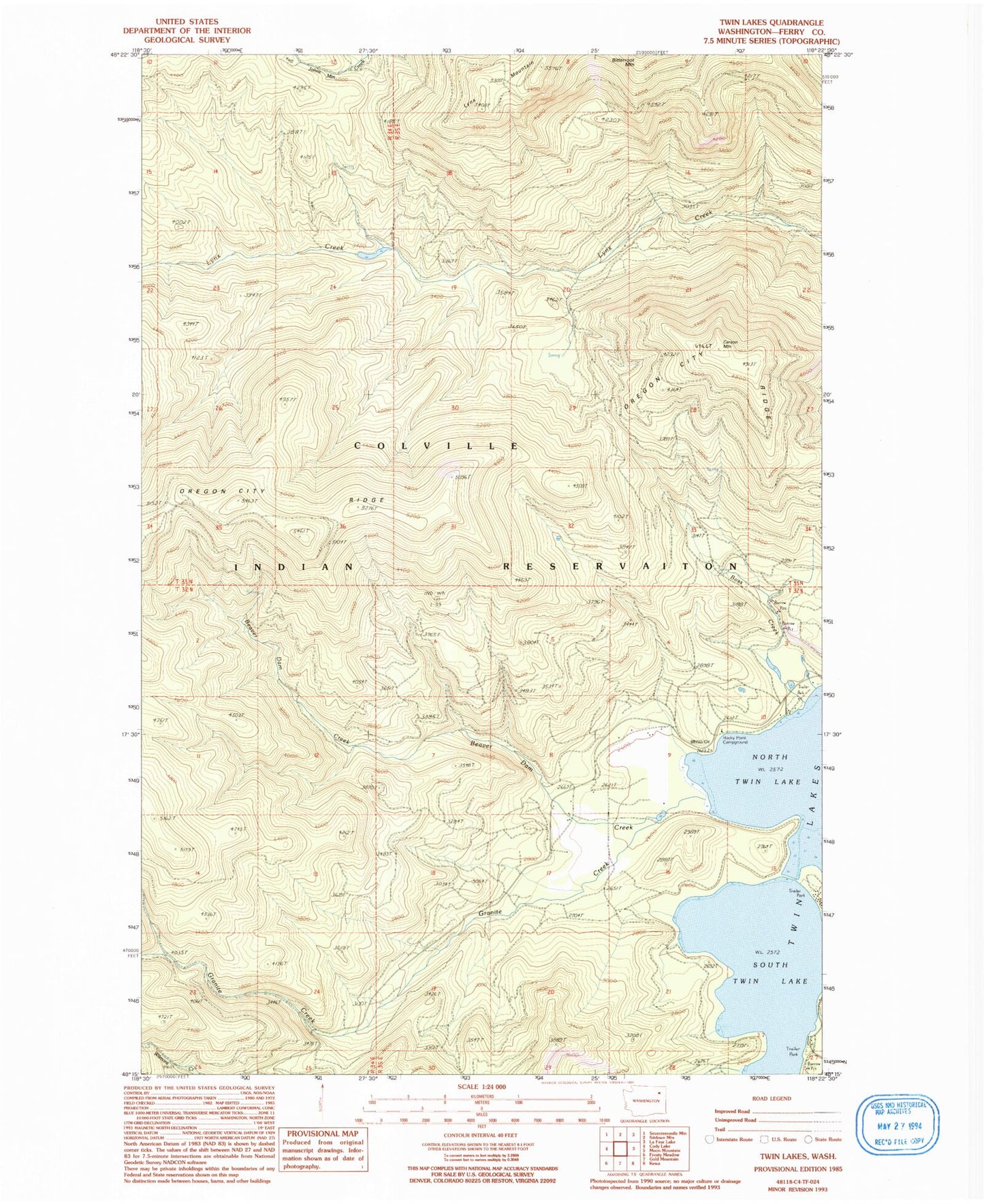
Classic USGS Twin Lakes Washington 7.5'x7.5' Topo Map
Regular price
$16.95
Regular price
Sale price
$16.95
Unit price
per
Couldn't load pickup availability
Historical USGS topographic quad map of Twin Lakes in the state of Washington. Map scale may vary for some years, but is generally around 1:24,000. Print size is approximately 24" x 27"
This quadrangle is in the following counties: Ferry.
The map contains contour lines, roads, rivers, towns, and lakes. Printed on high-quality waterproof paper with UV fade-resistant inks, and shipped rolled.
Contains the following named places: Beaver Dam Creek, Carson Creek, Carson Mountain, Colville Tribal Emergency Medical Services, Granite Creek, Log Cabin Resort Mobile Home Park, North Twin Lake, Oregon City Ridge, Rocky Point Campground, South Twin Lake, Twin Lakes, Twin Lakes Reservoir