MyTopo
Classic USGS Twin Sisters Mountain Washington 7.5'x7.5' Topo Map
Couldn't load pickup availability
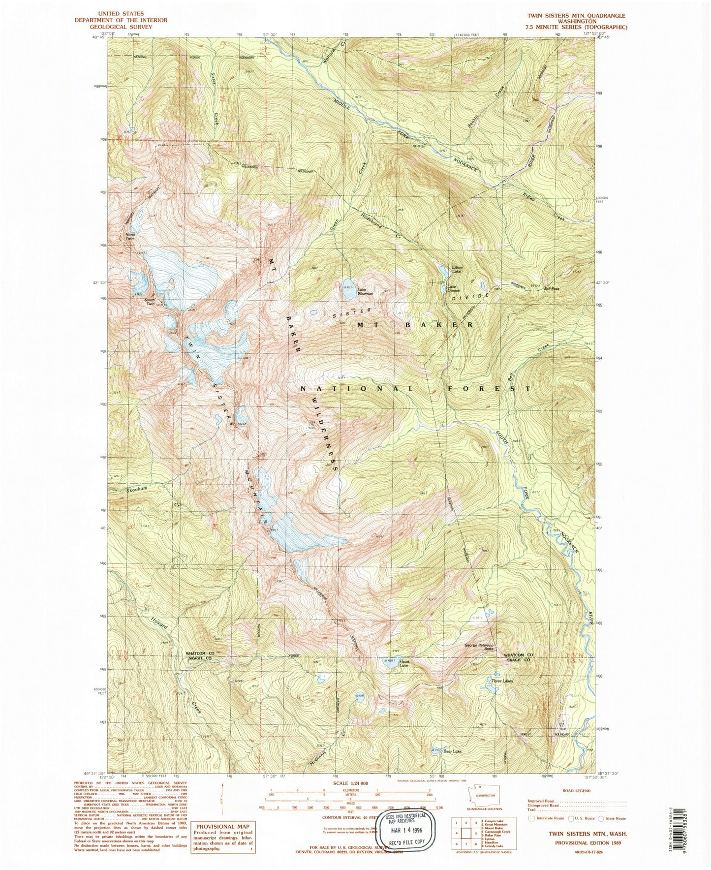
Historical USGS topographic quad map of Twin Sisters Mountain in the state of Washington. Typical map scale is 1:24,000, but may vary for certain years, if available. Print size: 24" x 27"
This quadrangle is in the following counties: Skagit, Whatcom.
The map contains contour lines, roads, rivers, towns, and lakes. Printed on high-quality waterproof paper with UV fade-resistant inks, and shipped rolled.
Contains the following named places: Bear Lake, Bell Creek, Bell Pass, Lake Doreen, Elbow Lake, George Peterson Butte, Green Creek, Heart Lake, Hildebrand Creek, Lake Hildebrand, Rankin Creek, Ridley Creek, Sister Divide, South Twin, Three Lakes, Wallace Creek, Wanlick Creek, Lake Wiseman, Twin Sisters Mountain, Hearty Creek, North Twin