MyTopo
Classic USGS Twin Valley NW Minnesota 7.5'x7.5' Topo Map
Regular price
$16.95
Regular price
Sale price
$16.95
Unit price
per
Couldn't load pickup availability
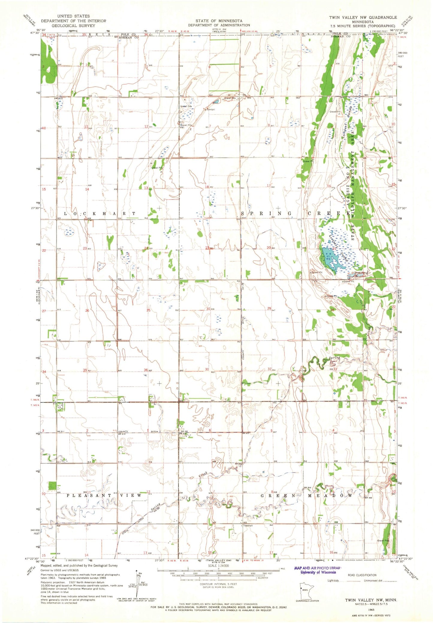
Historical USGS topographic quad map of Twin Valley NW in the state of Minnesota. Map scale may vary for some years, but is generally around 1:24,000. Print size is approximately 24" x 27"
This quadrangle is in the following counties: Norman, Polk.
The map contains contour lines, roads, rivers, towns, and lakes. Printed on high-quality waterproof paper with UV fade-resistant inks, and shipped rolled.
Contains the following named places: Agassiz Number 2 State Wildlife Management Area, Betcher Post Office, County Ditch Number Sixtysix, County Ditch Number Thirtyeight, Green Meadow Group Pond, Green Meadow Group Pond Dam, Lockhart Swamp, Township of Spring Creek