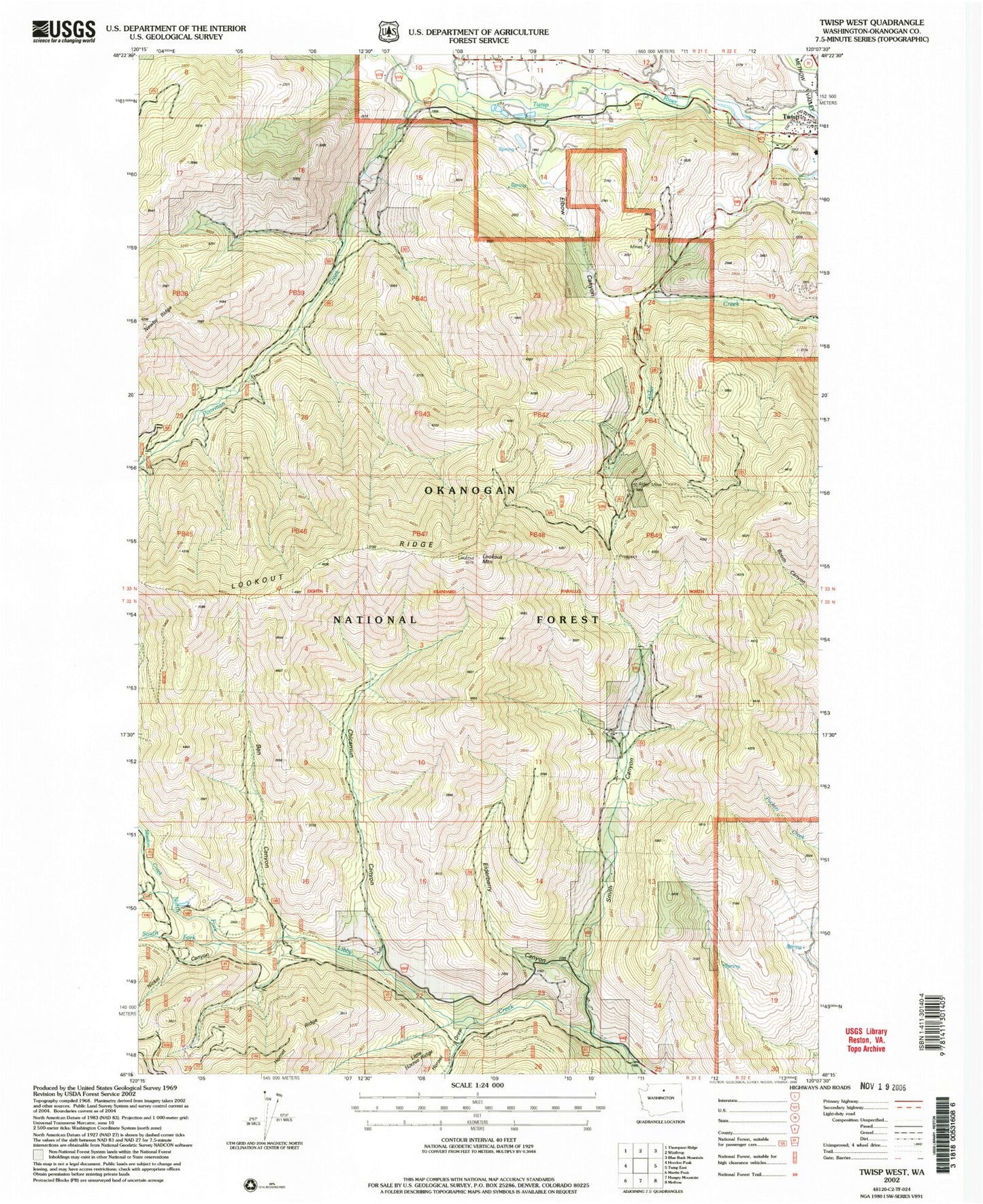
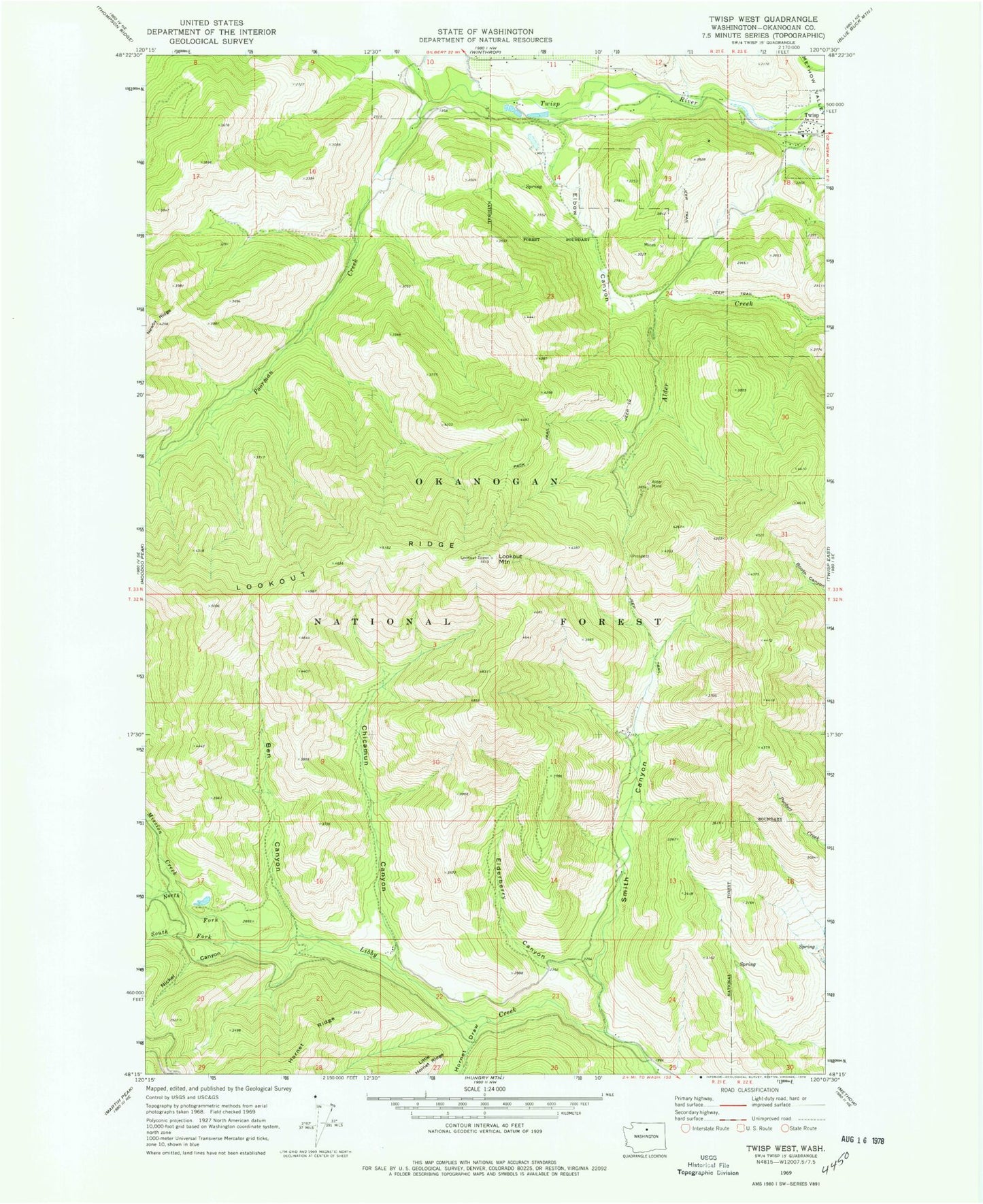
MyTopo
Classic USGS Twisp West Washington 7.5'x7.5' Topo Map
Couldn't load pickup availability
Historical USGS topographic quad map of Twisp West in the state of Washington. Map scale may vary for some years, but is generally around 1:24,000. Print size is approximately 24" x 27"
This quadrangle is in the following counties: Okanogan.
The map contains contour lines, roads, rivers, towns, and lakes. Printed on high-quality waterproof paper with UV fade-resistant inks, and shipped rolled.
Contains the following named places: Alder Mine, Allen Elementary School, Ben Canyon, Ben Creek, Chicamun Canyon, Ederberry Canyon, Elbow Canyon, Hornet Draw, Horseshoe Mobile Home Park, Lookout Mountain, Lookout Ridge, Methow Valley Division, Mission Creek, Nickel Canyon, North Fork Libby Creek, Okanogan County Fire Station 630, Poorman Creek, Smith Canyon, Smith Canyon Creek, South Fork Libby Creek