MyTopo
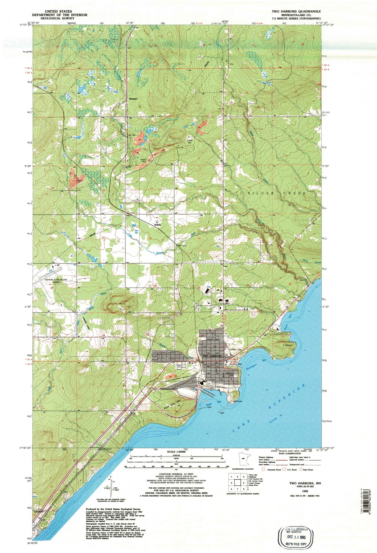
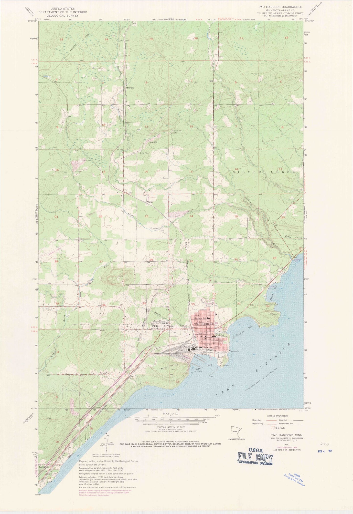
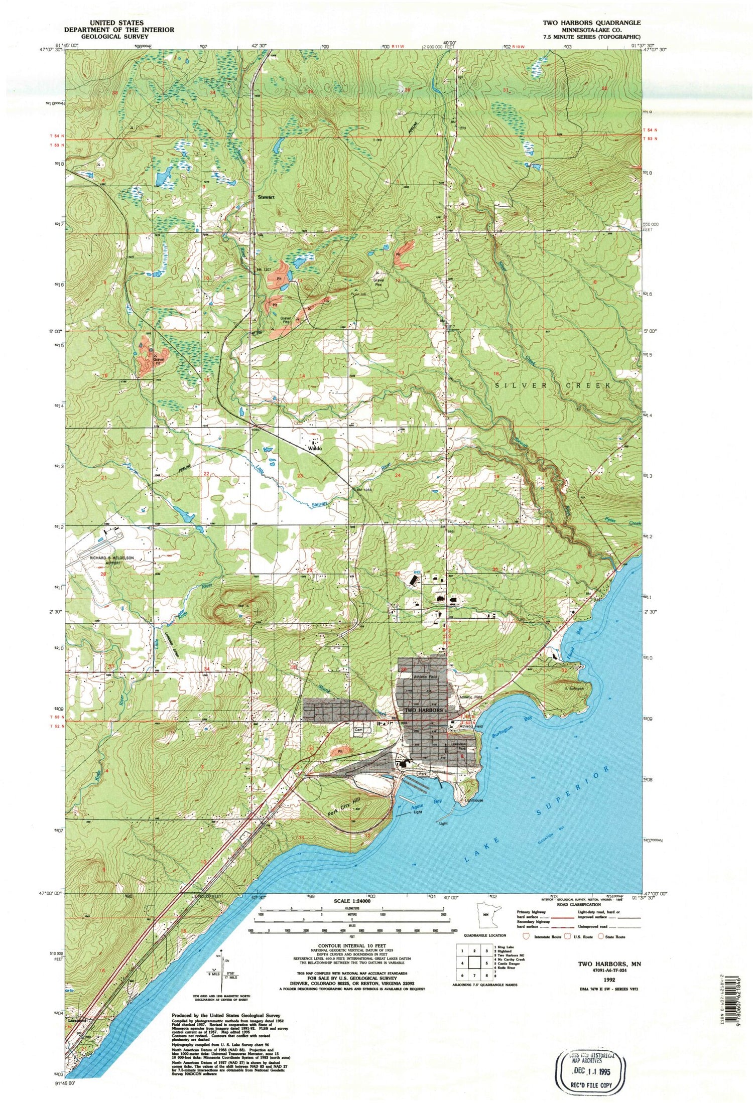
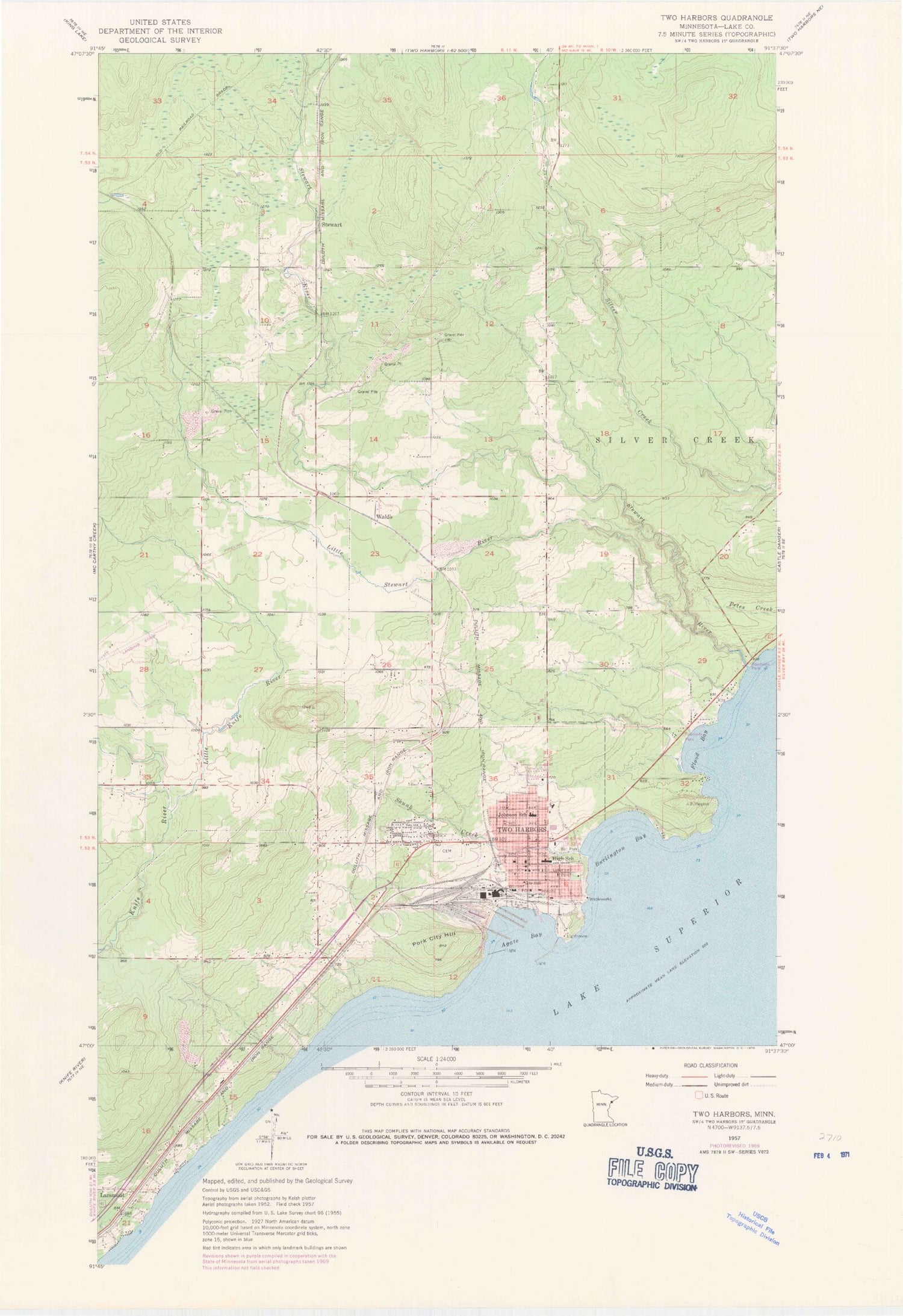
Classic USGS Two Harbors Minnesota 7.5'x7.5' Topo Map
Couldn't load pickup availability
Historical USGS topographic quad map of Two Harbors in the state of Minnesota. Map scale may vary for some years, but is generally around 1:24,000. Print size is approximately 24" x 27"
This quadrangle is in the following counties: Lake.
The map contains contour lines, roads, rivers, towns, and lakes. Printed on high-quality waterproof paper with UV fade-resistant inks, and shipped rolled.
Contains the following named places: 3 Spot Historical Marker, 3M Museum, Agate Bay, Anthony Private Airport, Barrass Cottage, Burlington Bay, Burlington Bay Campground, Burlington Post Office, City of Two Harbors, Community Health Center, East Breakwater Light, Edna G Tugboat Museum, Evangelical Free Church, Flood Bay, Holy Spirit Catholic Cemetery, Holy Spirit Catholic Church, John A Johnson School, Johnson School, Lake County Arena, Lake County Courthouse, Lake County Fair Grounds, Lake County Fairgrounds - Camping, Lake County Jail, Lake County Sheriff's Office, Lake Superior Agate Geological Marker, Lake View Cottages, Lake View Home, Lake View Hospital, Lakeview Cemetery, Lakeview National Golf Course, Lakeview Park, Law Enforcement Center, Lighthouse Point Museum, Little Knife River, Little Stewart River, Minnehaha School, Municipal Water and Light Plant, Northwoods Christian Academy, Odegard Park, Paul Van Hoven Park, Penmaraliter Campground, Pork City Hill, Richard B Helgeson Airport, Richard Lammi SCS Dam, Segog Park, Skunk Creek, Stewart, Stewart River, Sunrise Nursing Home, Thomas Owens Park, Two Harbors, Two Harbors City Hall, Two Harbors Dock Dam, Two Harbors High School, Two Harbors Jehovah's Witnesses, Two Harbors Library, Two Harbors Light, Two Harbors Lighthouse, Two Harbors Police Department, Two Harbors Post Office, Two Harbors Railroad Station, Two Harbors Volunteer Fire Department, Voyageur Trailer Park, Waldo, West Breakwater Light


