MyTopo
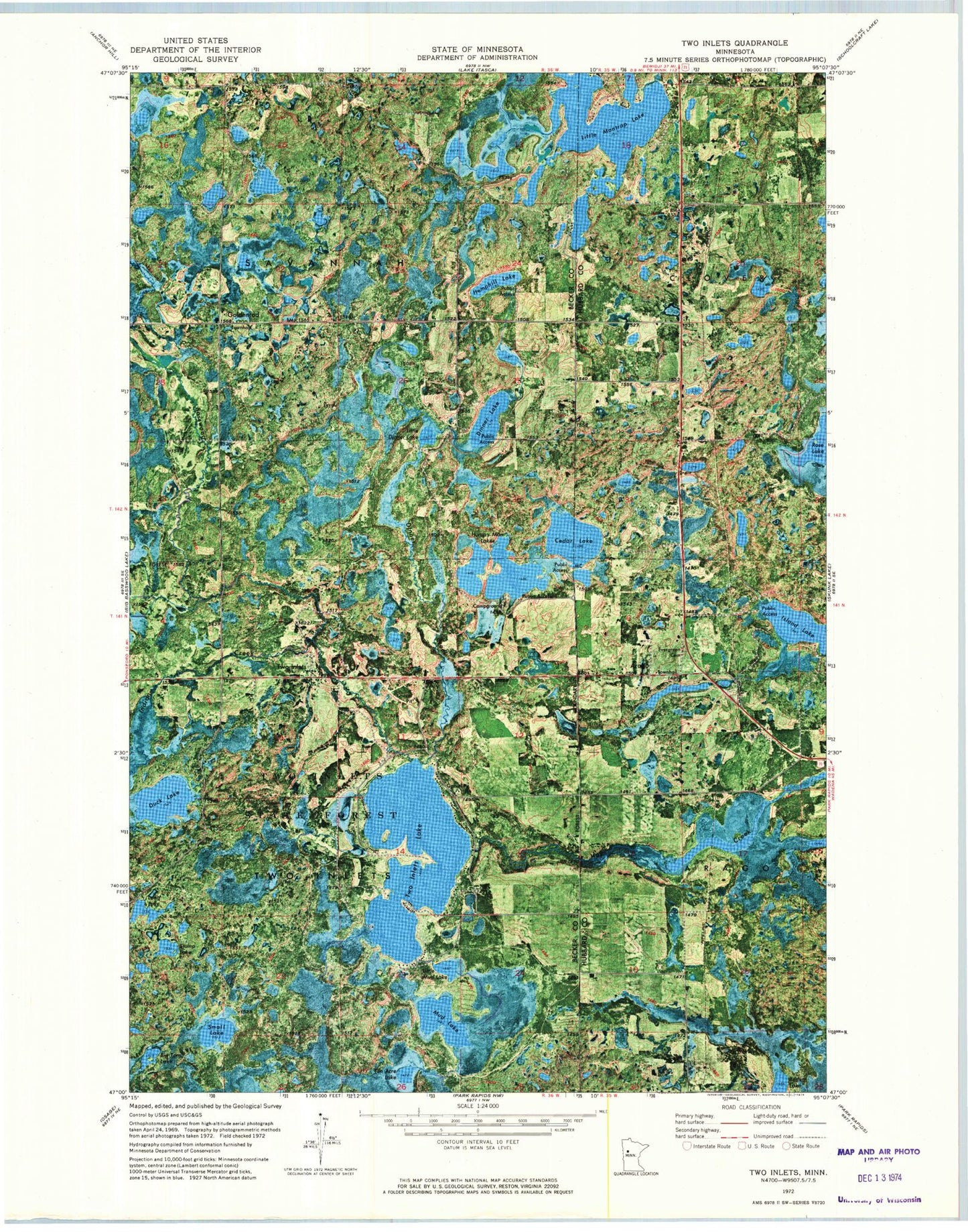
Classic USGS Two Inlets Minnesota 7.5'x7.5' Topo Map
Couldn't load pickup availability
Historical USGS topographic quad map of Two Inlets in the state of Minnesota. Map scale may vary for some years, but is generally around 1:24,000. Print size is approximately 24" x 27"
This quadrangle is in the following counties: Becker, Hubbard.
The map contains contour lines, roads, rivers, towns, and lakes. Printed on high-quality waterproof paper with UV fade-resistant inks, and shipped rolled.
Contains the following named places: Arago, Arago Post Office, Basswood Creek, Big Tam Lake, Brookside Golf Course, Cedar Lake, Church of Saint Mary's, Dinner Creek, Dinner Lake, Duck Lake, Evergreen Cemetery, Goldenrod, Goldenrod Post Office, Hemphill Lake, Hungry Man Lakes, Indian Creek, Little Dinner Lake, Little Mantrap Lake, Little Mud Lake, Long Lake, Mud Lake, Rose Lake, Saint Mary's Catholic Cemetery, Small Lake, Stump Lake, Ten Acre Lake, Township of Savannah, Township of Two Inlets, Two Inlets, Two Inlets Lake, Two Inlets Lakes Dam, Two Inlets State Forest, Twoinlets Post Office, Wilderness Bay Resort and RV Campground