MyTopo
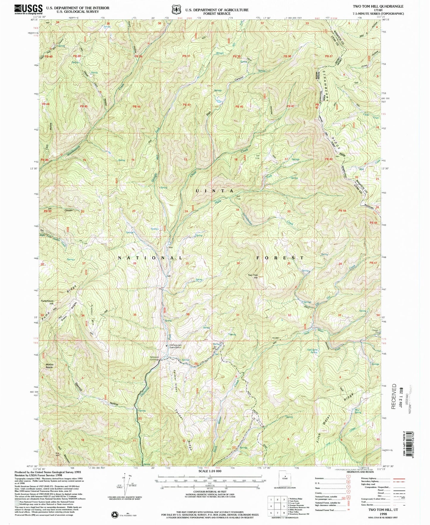
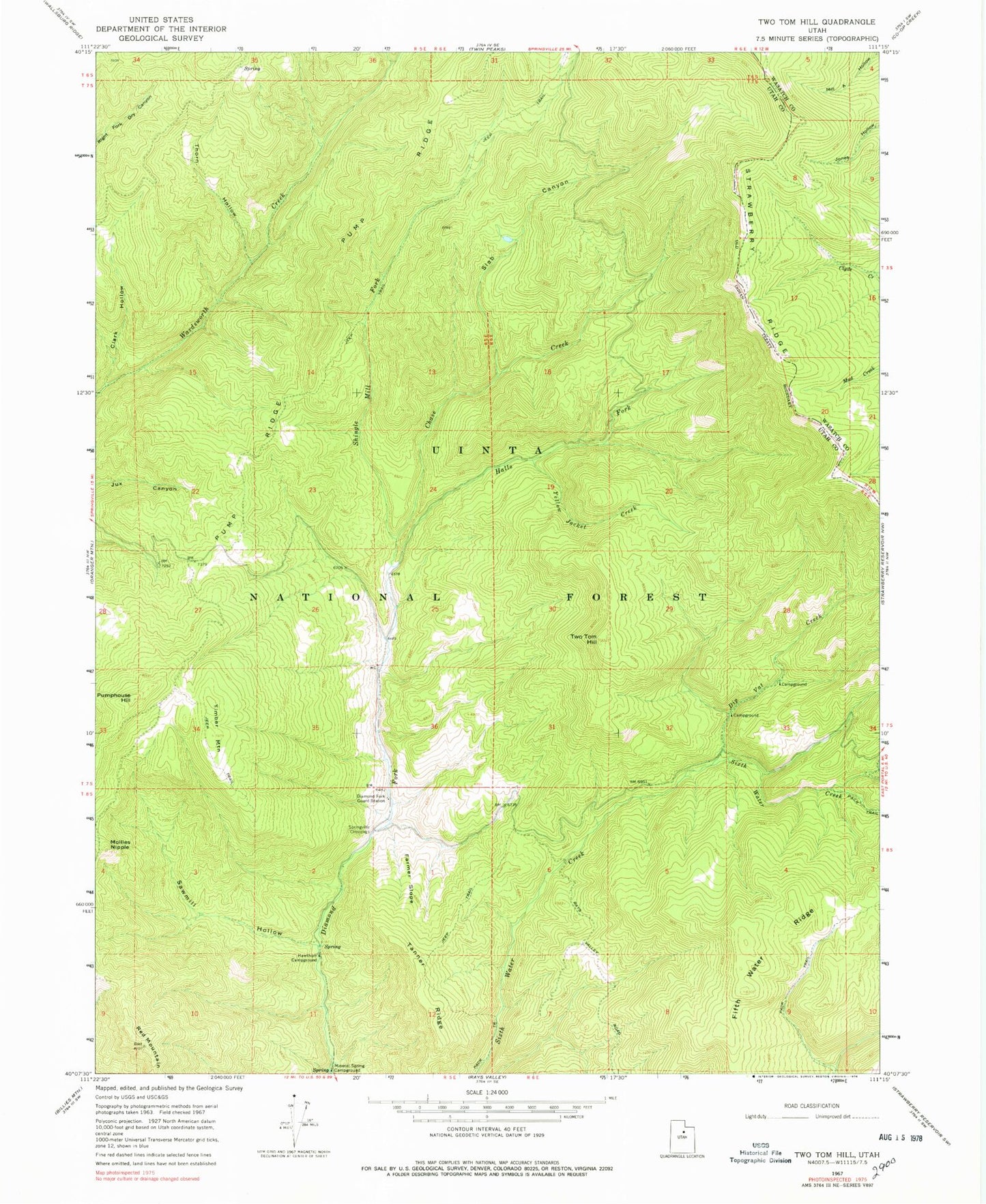
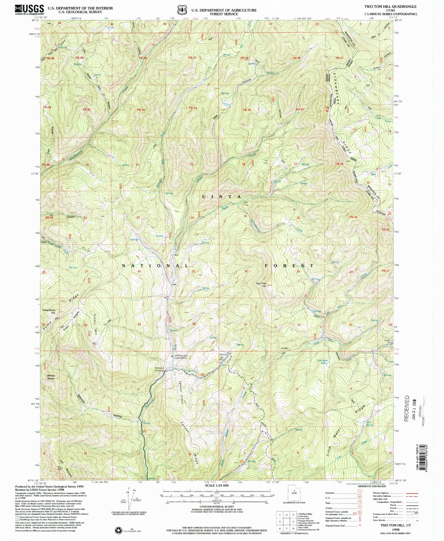
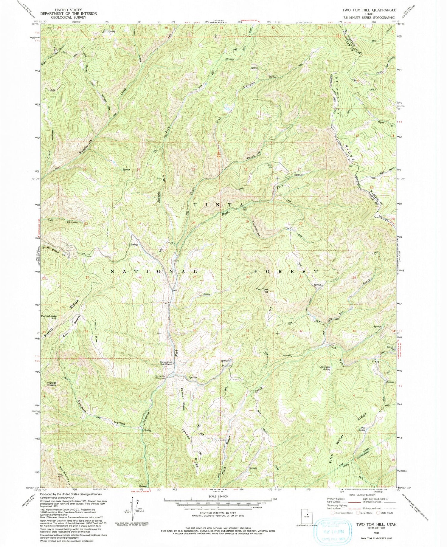
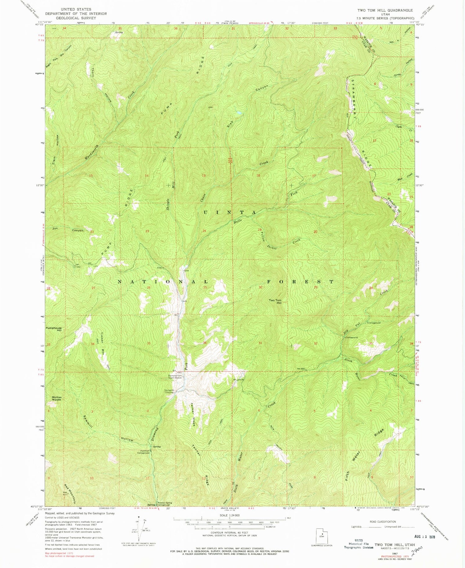
Classic USGS Two Tom Hill Utah 7.5'x7.5' Topo Map
Couldn't load pickup availability
Historical USGS topographic quad map of Two Tom Hill in the state of Utah. Typical map scale is 1:24,000, but may vary for certain years, if available. Print size: 24" x 27"
This quadrangle is in the following counties: Utah, Wasatch.
The map contains contour lines, roads, rivers, towns, and lakes. Printed on high-quality waterproof paper with UV fade-resistant inks, and shipped rolled.
Contains the following named places: Thorn Hollow, Chase Creek, Clark Hollow, Diamond Fork Guard Station, Dip Vat Creek, Farmer Slope, Fifth Water Ridge, Halls Fork, Hawthorn Campground, Mineral Spring Campground, Mollies Nipple, Pump Ridge, Pumphouse Hill, Red Mountain, Sawmill Hollow, Shingle Mill Fork, Slab Canyon, Springville Crossings, Tanner Ridge, Upper Clark Hollow, Timber Mountain, Two Tom Hill, West Portal, Fifth Water, Ruby Christensen Memorial Youth Forest, Yellowjacket Creek, Thorn Hollow, Chase Creek, Clark Hollow, Diamond Fork Guard Station, Dip Vat Creek, Farmer Slope, Fifth Water Ridge, Halls Fork, Hawthorn Campground, Mineral Spring Campground, Mollies Nipple, Pump Ridge, Pumphouse Hill, Red Mountain, Sawmill Hollow, Shingle Mill Fork, Slab Canyon, Springville Crossings, Tanner Ridge, Upper Clark Hollow, Timber Mountain, Two Tom Hill, West Portal, Fifth Water, Ruby Christensen Memorial Youth Forest, Yellowjacket Creek
