MyTopo
Classic USGS Twodot NW Montana 7.5'x7.5' Topo Map
Regular price
$16.95
Regular price
Sale price
$16.95
Unit price
per
Couldn't load pickup availability
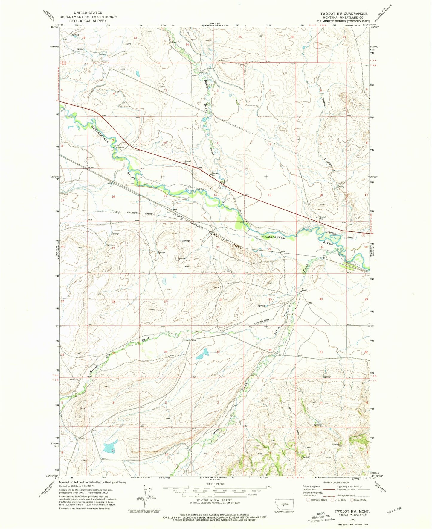
Historical USGS topographic quad map of Twodot NW in the state of Montana. Map scale may vary for some years, but is generally around 1:24,000. Print size is approximately 24" x 27"
This quadrangle is in the following counties: Wheatland.
The map contains contour lines, roads, rivers, towns, and lakes. Printed on high-quality waterproof paper with UV fade-resistant inks, and shipped rolled.
Contains the following named places: 08N12E04____01 Well, 08N12E09BDD_01 Well, Airpump Dam, Daisy Dean Creek, Little Elk Creek, Miller Creek, Moore Ranch, Selkirk, Selkirk Fishing Access Site, Selkirk School, Willis Coulee