MyTopo
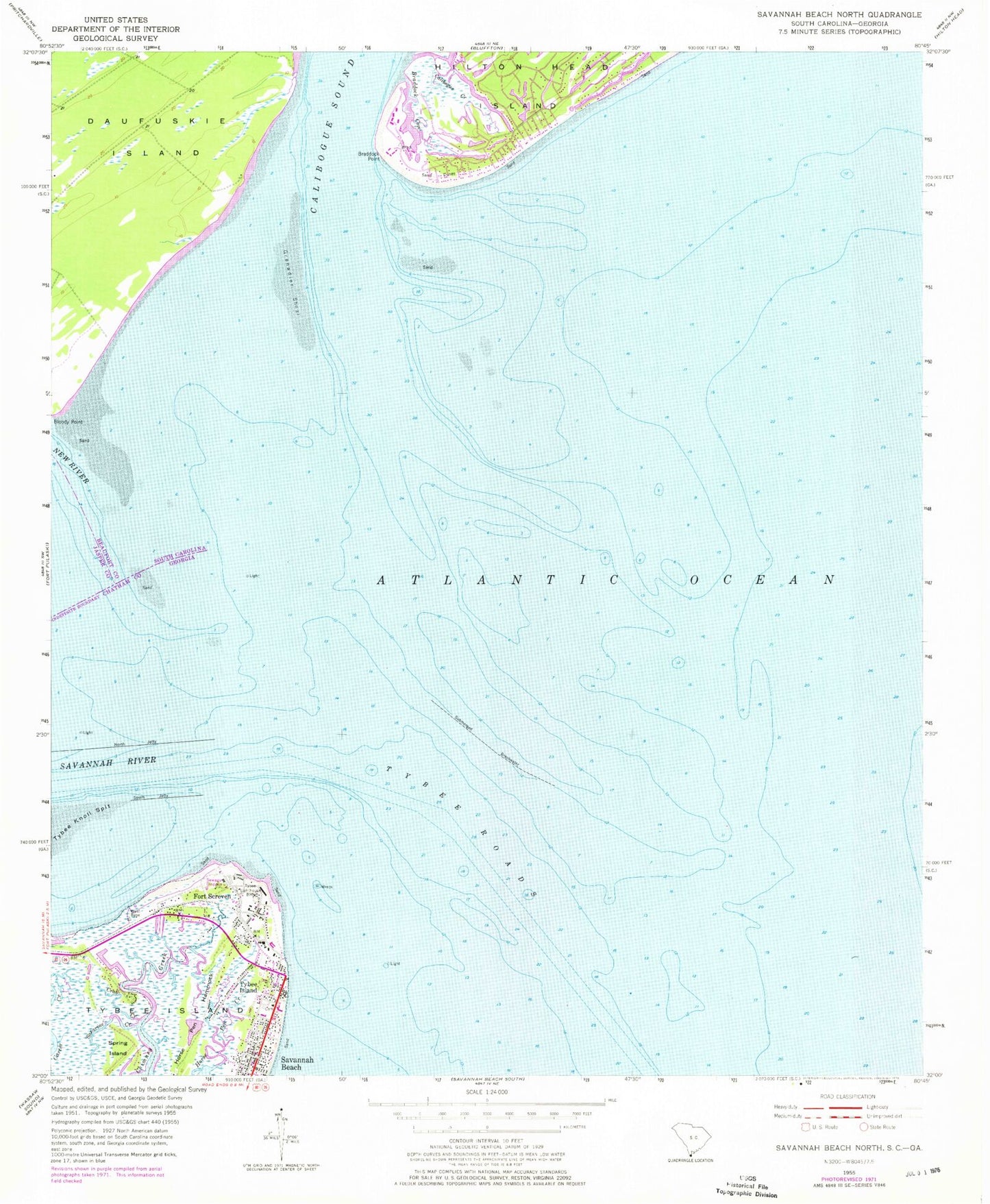
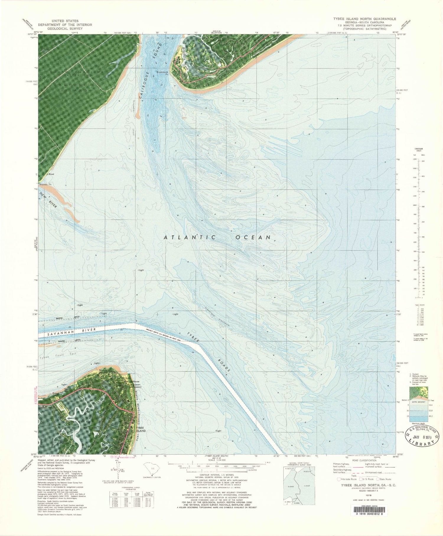
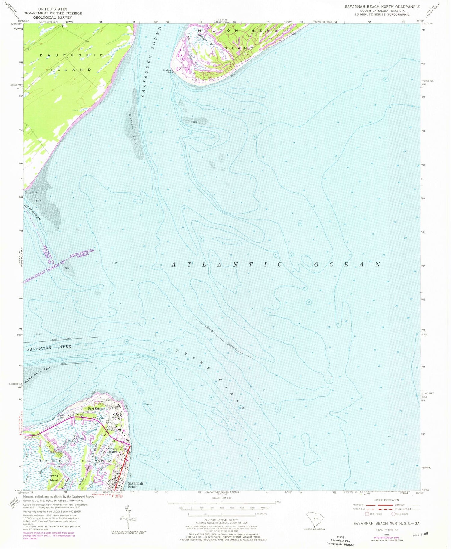
Classic USGS Tybee Island North Georgia 7.5'x7.5' Topo Map
Couldn't load pickup availability
Historical USGS topographic quad map of Tybee Island North in the states of Georgia, South Carolina. Typical map scale is 1:24,000, but may vary for certain years, if available. Print size: 24" x 27"
This quadrangle is in the following counties: Beaufort, Chatham, Jasper.
The map contains contour lines, roads, rivers, towns, and lakes. Printed on high-quality waterproof paper with UV fade-resistant inks, and shipped rolled.
Contains the following named places: Chimney Creek, Crab Creek, Horse Pen Hammock, Sazarine Creek, South Jetty, Spanish Hammock, Tybee Island, Tybee Knoll Spit, Tybee Lighthouse, Tybee Island, Fort Screven, Cock Spur Island Channel, Fort Screven Historic District, Lazaretto (historical), Tybee Elementary School, Tybee Roads, Battery Backus (historical), Battery Brumby (historical), Battery Fenwick (historical), Battery Gantt (historical), Battery Garland (historical), Battery Habersham (historical), City of Tybee Island, Saint Michael's Elementary School, Tybee Island City Jail, Live Oak Public Library System Tybee Island Branch, Tybee Museum, Tybee Island Fire Department, Tybee Island City Marshal's Office, Tybee Island Police Department, Tybee Island Post Office, Bloody Point Range, Tybee Knoll Cut Range, Jones Island Range, Braddock Cove, Calibogue Creek, New River, Baynard Cove Creek, Barrett Shoals, South Sea Pines, South Beach Villas, Grenadier Shoal, Braddock Point, Calibogue Sound, Daufuskie Island, Savannah River, Daufuskie Island Fire Department, Daufuskie Island Census Designated Place