MyTopo
Classic USGS Tybo Nevada 7.5'x7.5' Topo Map
Couldn't load pickup availability
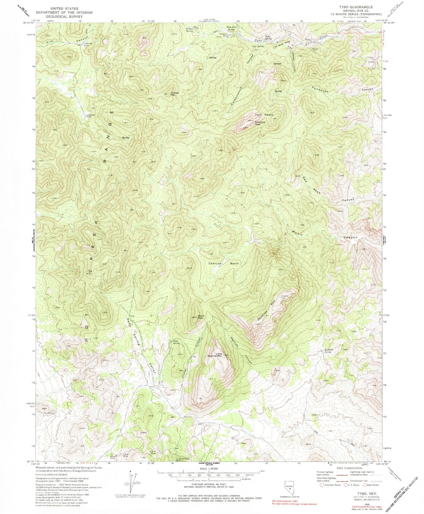
Historical USGS topographic quad map of Tybo in the state of Nevada. Map scale may vary for some years, but is generally around 1:24,000. Print size is approximately 24" x 27"
This quadrangle is in the following counties: Nye.
The map contains contour lines, roads, rivers, towns, and lakes. Printed on high-quality waterproof paper with UV fade-resistant inks, and shipped rolled.
Contains the following named places: A and B Mine, Air Shaft Ridge, Amethyst Peak, Break Mine, Bunker Hill Mine, Butterfield Ranch, Casket Mine, Cave Spring, Charcoal Basin, Cottonwood Canyon, Crystal Canyon, Cunningham Mine, Dean Spring, Dean Spring Valley, Dimick Mine, Gilmore Gulch, Gilmore Mine, Hidden Mountain, Little Rawhide Mountain, M and M Mine, Mule Shoe Spring, Peach Peak, Rawhide Canyon, Rawhide Mountain, Rawhide Spring, Treadwell Yukon Mine, Twin Peaks, Two-G Mine, Tybo, Tybo Charcoal Kilns, Tybo Post Office, Tybo Spring, Western Extension Mine, Wide Valley, Willow Spring