MyTopo
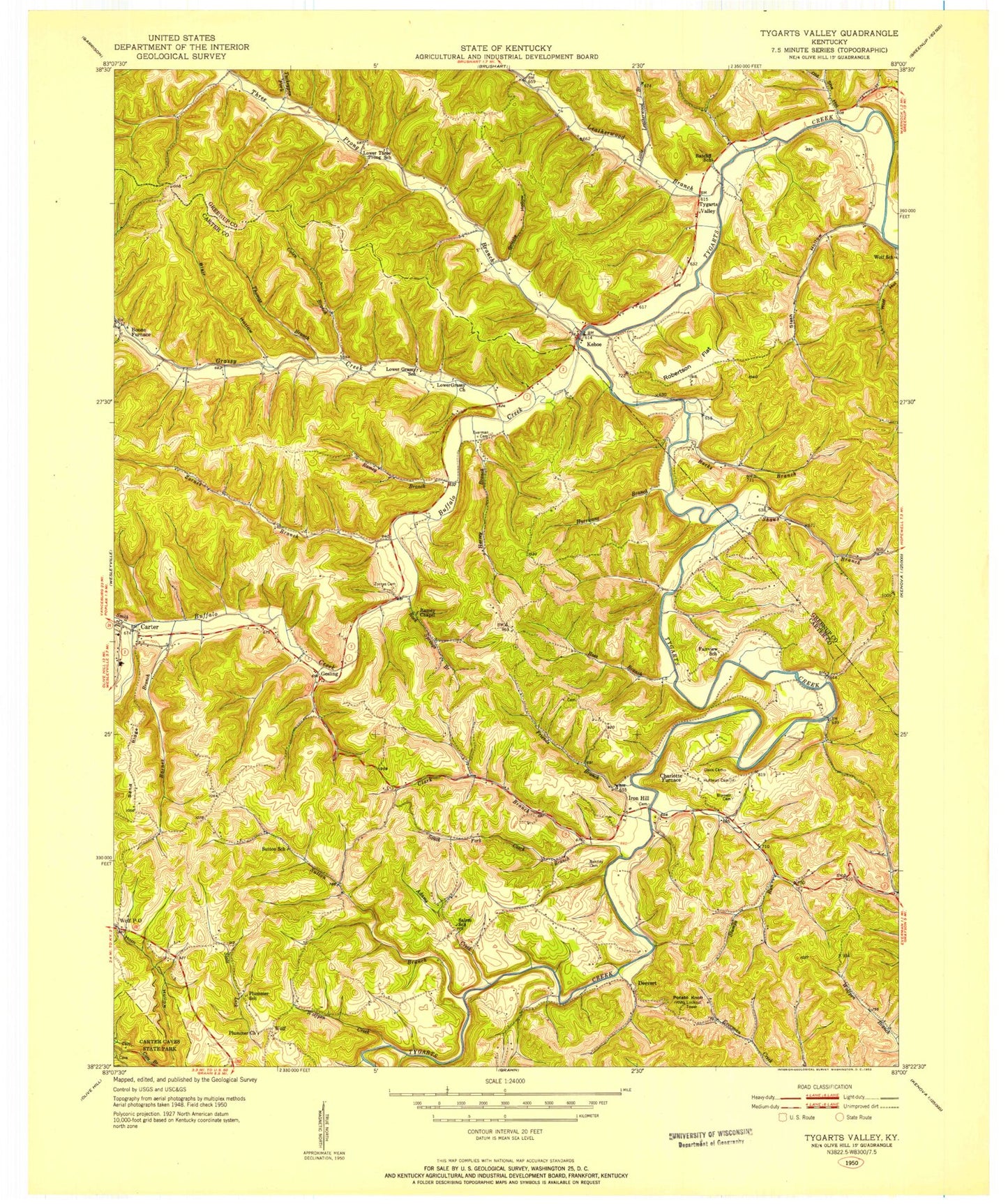
Classic USGS Tygarts Valley Kentucky 7.5'x7.5' Topo Map
Couldn't load pickup availability
Historical USGS topographic quad map of Tygarts Valley in the state of Kentucky. Typical map scale is 1:24,000, but may vary for certain years, if available. Print size: 24" x 27"
This quadrangle is in the following counties: Carter, Greenup.
The map contains contour lines, roads, rivers, towns, and lakes. Printed on high-quality waterproof paper with UV fade-resistant inks, and shipped rolled.
Contains the following named places: Adams Creek, Backs Branch, Barnes Branch, Bentley Cemetery, Blair Hollow, Buffalo Creek, Burnett Cemetery, Carter, Clark Branch, Colen Branch, Davis Cemetery, Elk Lick, Everman Cemetery, Friends Branch, Grassy Creek, Grizzle Hollow, Harvey Branch, Horn Hollow, Huffman Cemetery, Hurricane Branch, Leatherwood Branch, Little Leatherwood Branch, Old She Hollow, Plummer Church, Potato Knob, Ramey Branch, Robertson Flat, Rock Springs Branch, Ross Branch, Sand Ridge, Shaws Branch, Slash Hollow, Slate Lick, Smith Creek, South Fork Clark Branch, Stumps Run, Sutton Branch, Thomas Branch, Three Prong Branch, Turkeypen Fork, Whitehouse Hollow, Wolf Creek, Wolfpen Creek, Zornes Branch, Zornes Cemetery, Boone Furnace, Charlotte Furnace, Deevert, Gesling, Iron Hill, Kehoe, Tygarts Valley, Wolf, Praise God Airport (historical), Wolf Post Office, Carter City Volunteer Fire Department


