MyTopo
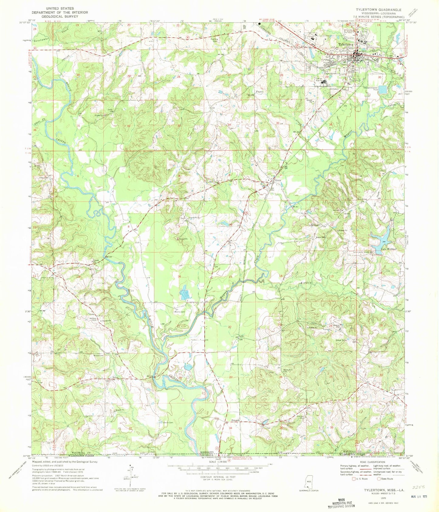
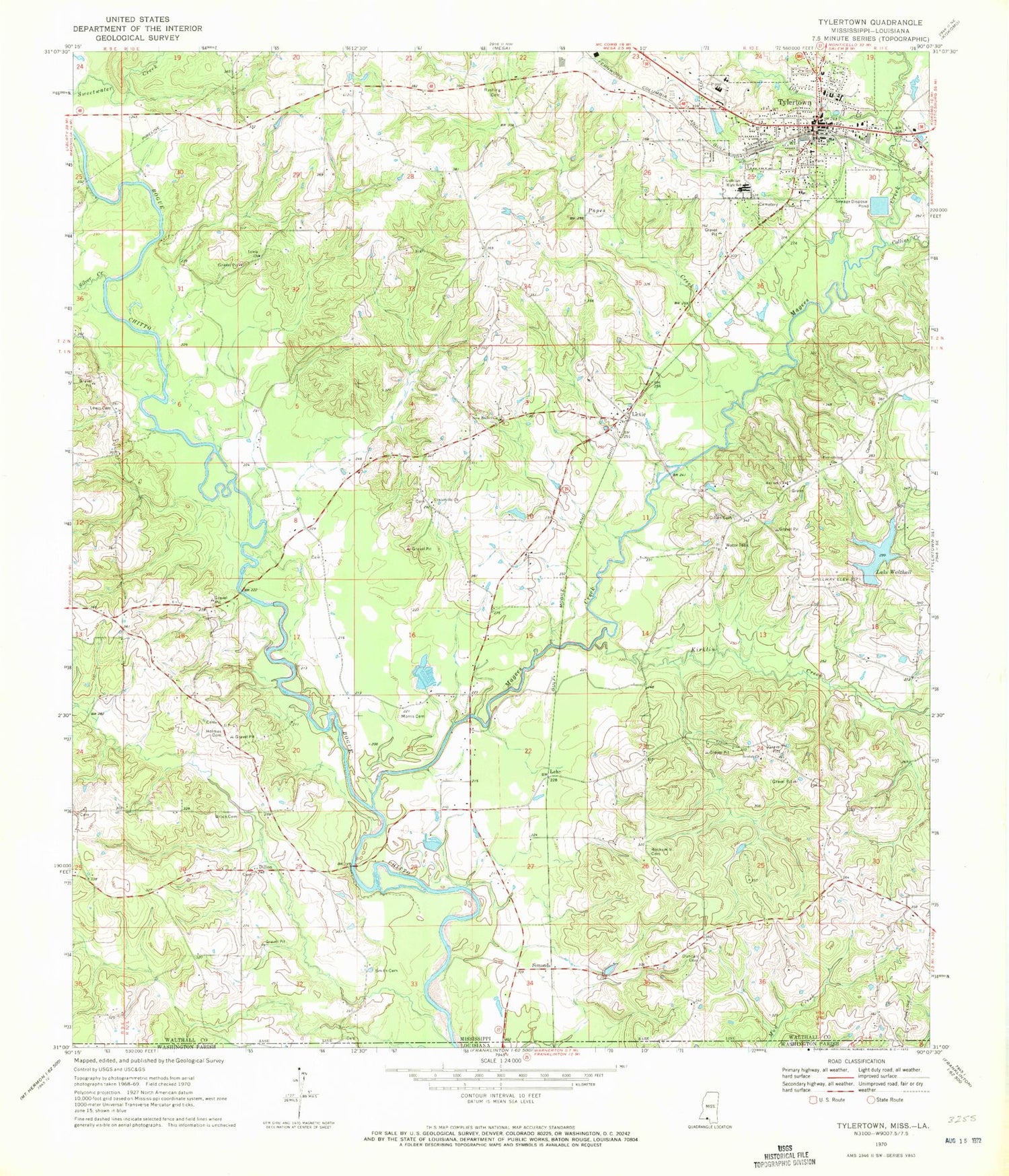
Classic USGS Tylertown Mississippi 7.5'x7.5' Topo Map
Couldn't load pickup availability
Historical USGS topographic quad map of Tylertown in the state of Mississippi. Map scale may vary for some years, but is generally around 1:24,000. Print size is approximately 24" x 27"
This quadrangle is in the following counties: Walthall, Washington.
The map contains contour lines, roads, rivers, towns, and lakes. Printed on high-quality waterproof paper with UV fade-resistant inks, and shipped rolled.
Contains the following named places: Antioch Church, Babington, Beulah Church, Brock Cemetery, Centerville Baptist Church, Centerville Cemetery, Collins Creek, Conerby, Dillon, Dillon Cemetery, Dry Creek, Duncan Cemetery, Founders Cemetery, Gulledge High School, Harvey Lake Dam, Harveys Pond, Holmes Cemetery, Holy Temple Church, Kirklin Creek, Lake Walthall, Lehr, Lewis Cemetery, Lewis Church, Lexie, Lexie Baptist Church, Lexie Volunteer Fire Department, Love Outreach Ministries, Magees Creek, Magees Creek Water Park, Morris Cemetery, Needham Alford Cemetery, New Bethel Church, Popes Creek, Powerhouse Church, Rocky Hill Baptist Church, Rocky Hill Cemetery, Rushing Cemetery, Saint Paul the Apostle Catholic Church, Sauls Street Church, Silver Creek, Simonds, Smith Cemetery, Stallings Ferry, Supervisor District 1, Town of Tylertown, Tylertown, Tylertown Baptist Church, Tylertown Cemetery, Tylertown City Hall, Tylertown Elementary School, Tylertown Fire Department, Tylertown Police Department, Tylertown Post Office, Tylertown Sewage Lagoon Dam, Tylertown United Methodist Church, W R McKelvin Junior Dam, Walthall County Courthouse, Walthall County Library, Walthall County School District, Walthall County Sheriff's Office, Walthall General Hospital, ZIP Code: 39667


