MyTopo
Classic USGS Tyner Kentucky 7.5'x7.5' Topo Map
Couldn't load pickup availability
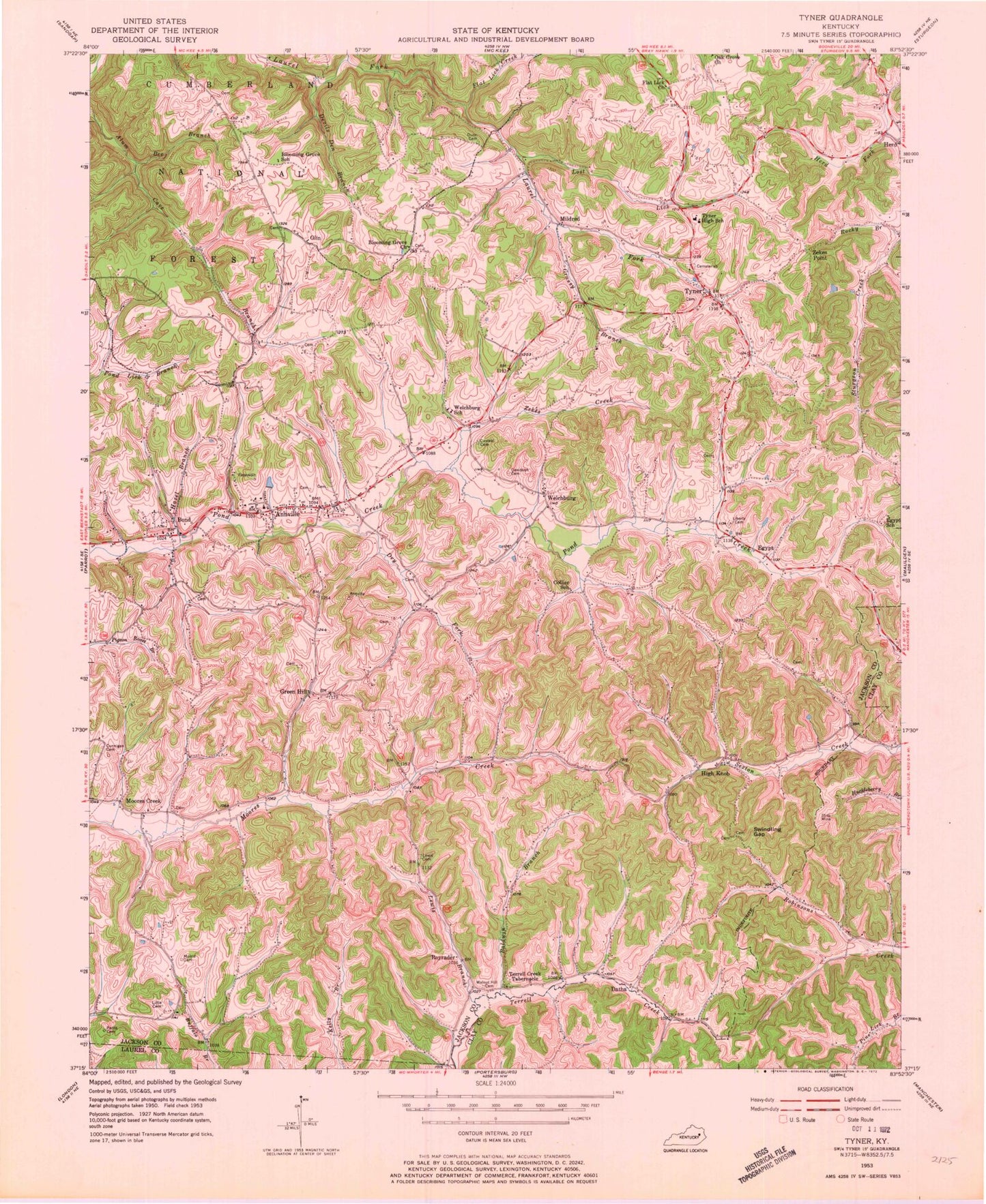
Historical USGS topographic quad map of Tyner in the state of Kentucky. Map scale may vary for some years, but is generally around 1:24,000. Print size is approximately 24" x 27"
This quadrangle is in the following counties: Clay, Jackson, Laurel.
The map contains contour lines, roads, rivers, towns, and lakes. Printed on high-quality waterproof paper with UV fade-resistant inks, and shipped rolled.
Contains the following named places: Annville, Annville Census Designated Place, Annville Division, Annville Post Office, Baldwin Branch, Bee Branch, Big Bottom Branch, Blooming Grove, Blooming Grove Church, Blooming Grove School, Bond, Bond Post Office, Buffalo, Cassia Post Office, Castee Cemetery, Chinquapin Post Office, Collier School, Crab Apple Branch, Cunnigan Cemetery, Datha, Datha Post Office, Davidson Cemetery, Devils Den Branch, Dry Fork, Dunn Cemetery, Egypt, Egypt Baptist Church, Egypt Post Office, Egypt School, Fall Rock Church, Farris Cemetery, Flat Lick Church, Flat Lick Creek, Grassy Branch, Green Hill, Green Hill Church, Green Hill School, Hazel Branch, Herd, Herd Post Office, High Knob, High Knob Post Office, Holcomb Field, Lewis, Lewis Branch, Lewis Cemetery, Liberty Cemetery, Liberty Church, Little Cemetery, Lost Lick, Mildred, Mildred Post Office, Moores Creek, Moores Creek Post Office, Morris Cemetery, Oak Grove Church, Oak Grove School, Olin, Olin Post Office, Pond Creek Fire Department, Pond Creek Post Office, Robinson School, Royrader, Royrader Post Office, Stringtown, Stringtown Hollow, Swindling Gap, Terrell Creek Tabernacle, Tyner, Tyner Elementary School, Tyner High School, Tyner Post Office, Upper Terrell Creek School, Walnut Hill Cemetery, Welchburg, Welchburg Post Office, Welchburg School, Woods Branch, Yates Knob, Zekes Creek, Zekes Point, ZIP Code: 40402


