MyTopo
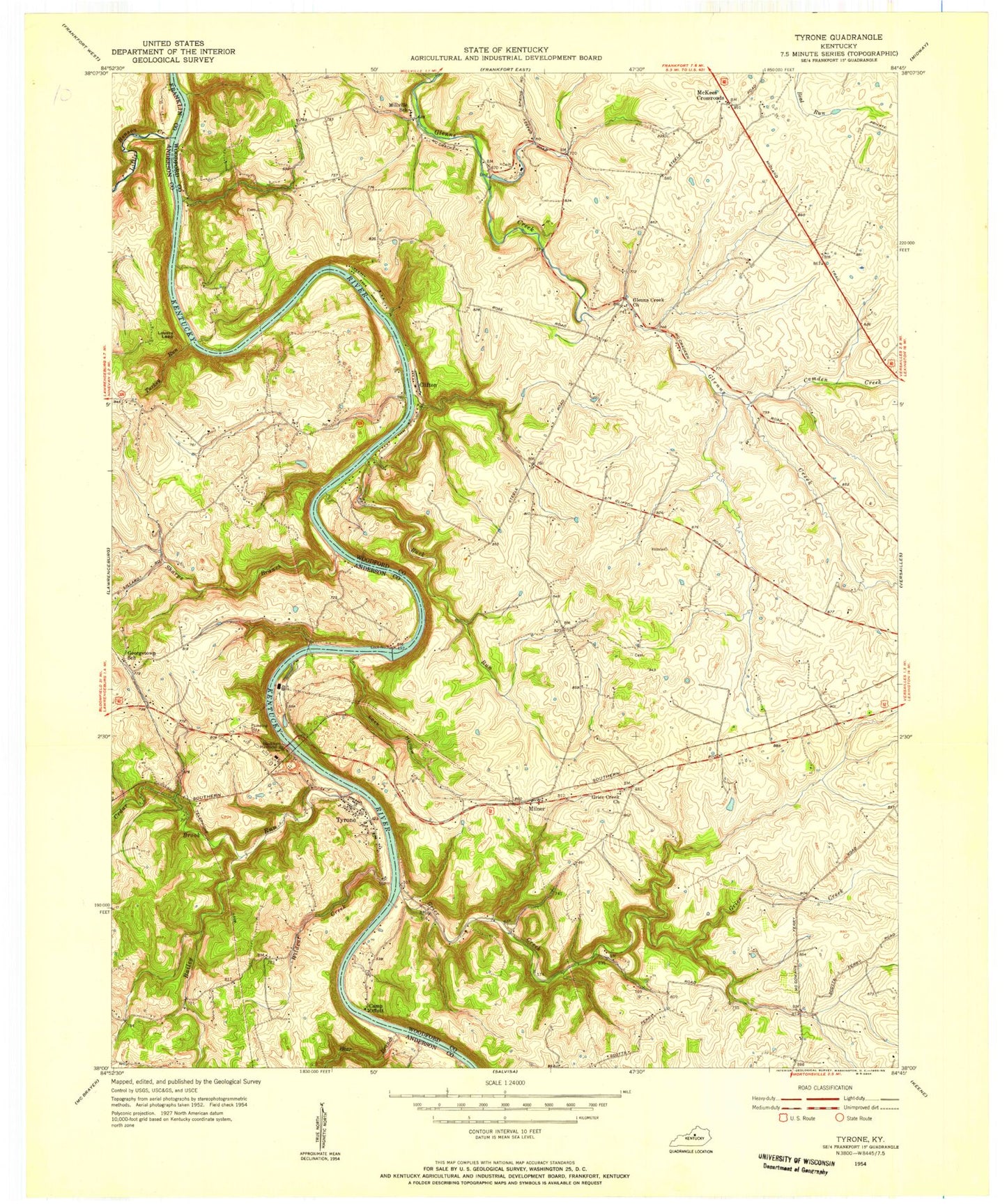
Classic USGS Tyrone Kentucky 7.5'x7.5' Topo Map
Couldn't load pickup availability
Historical USGS topographic quad map of Tyrone in the state of Kentucky. Map scale may vary for some years, but is generally around 1:24,000. Print size is approximately 24" x 27"
This quadrangle is in the following counties: Anderson, Franklin, Woodford.
The map contains contour lines, roads, rivers, towns, and lakes. Printed on high-quality waterproof paper with UV fade-resistant inks, and shipped rolled.
Contains the following named places: Anderson County Home for the Aged, Bailey Run, Bear Branch, Blackburn Memorial Bridge, Buck Run, Buck Run Farm, Buckley Ferry, Buckleys Ferry, Buzzard's Roost Airport, Camden Creek, Camp Cedarwood, Cave Spring, Cedar Brook, Cicero Post Office, Clifton, Clifton Heights Farm, Clifton Road Lake, Dorans Run, Eplers Mills, Fintville Church, Four Oaks Camp, Germany Bend, Glenns Creek Church, Glenns Creek School, Glenwild School, Grier School, Griers Creek, Griers Creek Church, Hackneys Mill, Helmsley Farm, James W Brookie Distillery, Kentucky Bluff, Little Benson Creek, Lock Hollow, Lock Number 5, Lovers Leap, Matthews Lake, McKees Crossroads, Midway Police Department, Mile Hill, Millville School, Milner, Moholand, Montjoy Mills, Murphy Post Office, Old Stone Church, Pepper School, Rabbit Creek, Rowes Run, Salt Lick Branch, Seldom Scene Airport, Sharps Branch, Sharps Ferry, Shryocks Ferry, Stonegate Farm Heliport, Tipton School, Turkey Run, Tyrone, Tyrone Landing, Tyrone Post Office, Versailles Division, Watts Bar, Watts Branch, Wildcat Creek, Woodford County Fire Department Station 2, Woodford Hills Country Club, Woodford Landing, Youngs High Bridge


