MyTopo
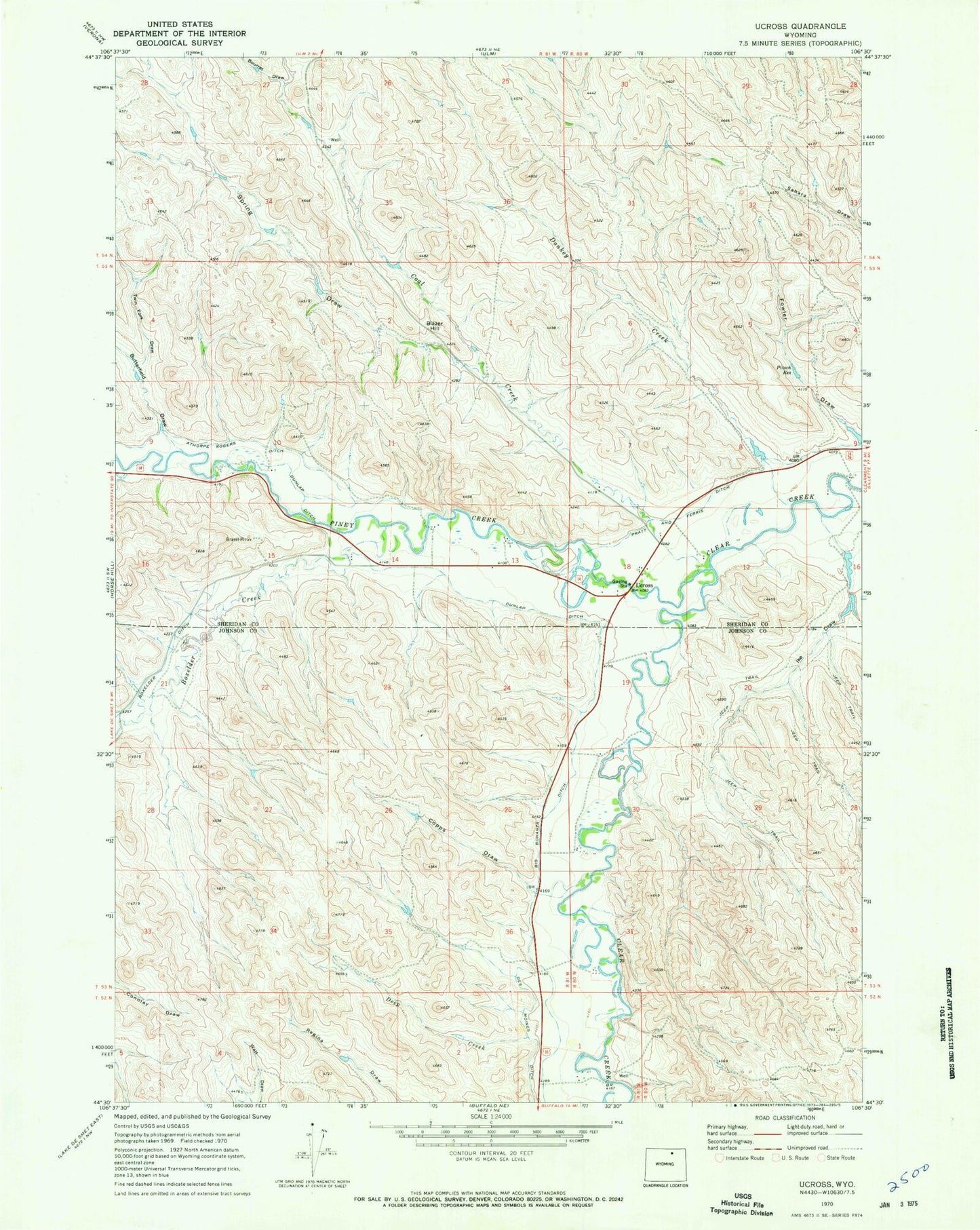
Classic USGS Ucross Wyoming 7.5'x7.5' Topo Map
Couldn't load pickup availability
Historical USGS topographic quad map of Ucross in the state of Wyoming. Map scale may vary for some years, but is generally around 1:24,000. Print size is approximately 24" x 27"
This quadrangle is in the following counties: Johnson, Sheridan.
The map contains contour lines, roads, rivers, towns, and lakes. Printed on high-quality waterproof paper with UV fade-resistant inks, and shipped rolled.
Contains the following named places: Athorpe Rogers Ditch, Big Bonanza Ditch, Blazer Hill, Bourret Draw, Boxelder Creek, Boxelder Ditch, Butterfield Draw, Clearmont Fire District - Ucross, Coal Creek, Copps Draw, Deep Creek, Donkey Creek, Dunlap Ditch, Fowler Draw, Garretson Mine, Holmberg Mine, Ike Draw, Little Red Dam, Little Red Number 2 Dam, Little Red Reservoir, Little Red Reservoir Number 2, Piney Creek, Pitsch Reservoir, Spring Draw, Twin Fork Draw, Ucross