MyTopo
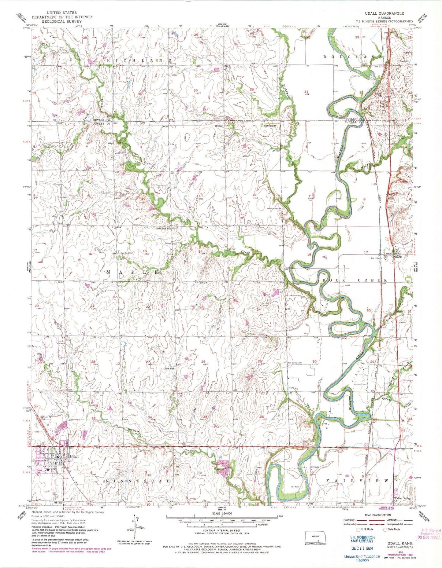
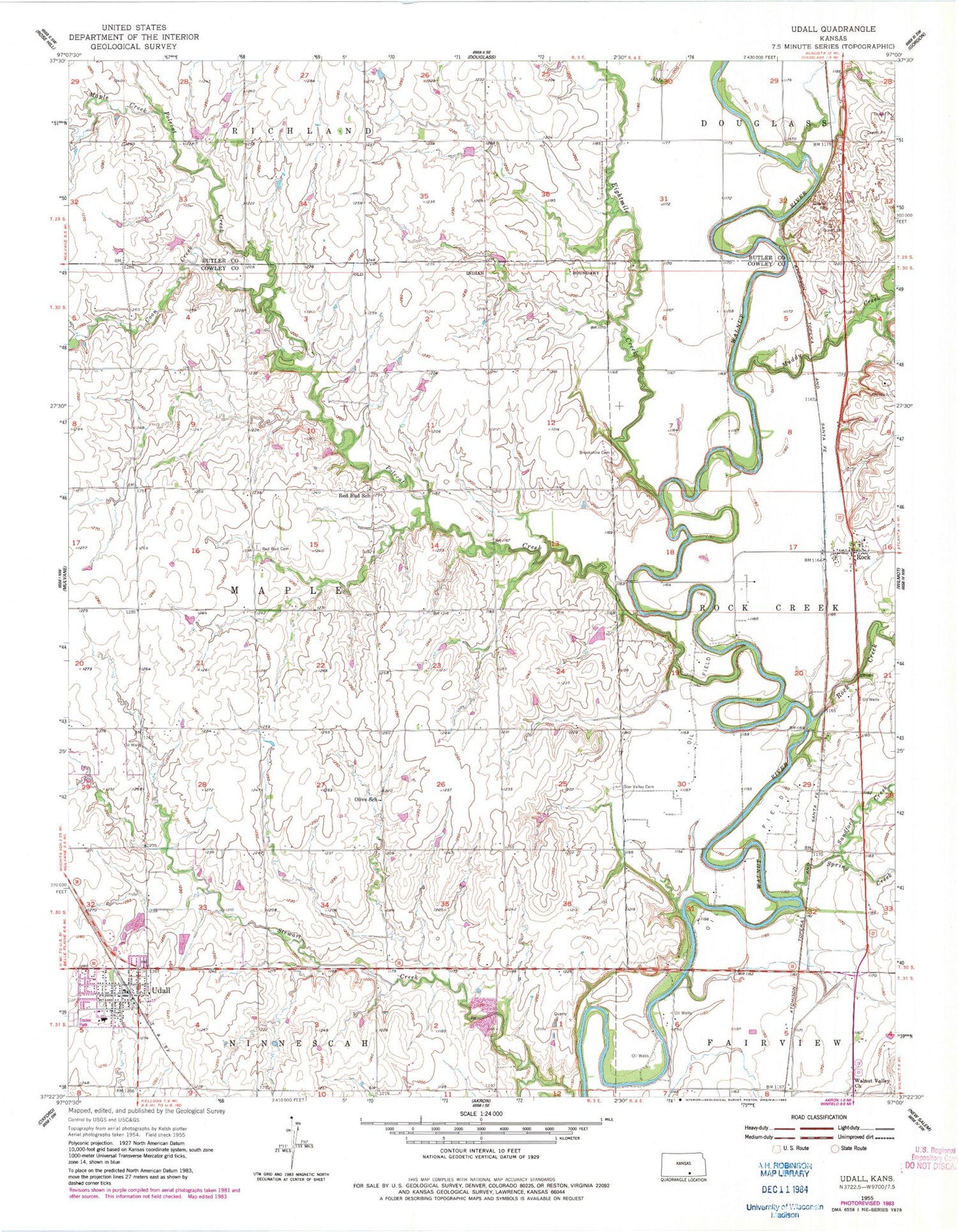
Classic USGS Udall Kansas 7.5'x7.5' Topo Map
Couldn't load pickup availability
Historical USGS topographic quad map of Udall in the state of Kansas. Map scale may vary for some years, but is generally around 1:24,000. Print size is approximately 24" x 27"
This quadrangle is in the following counties: Butler, Cowley.
The map contains contour lines, roads, rivers, towns, and lakes. Printed on high-quality waterproof paper with UV fade-resistant inks, and shipped rolled.
Contains the following named places: Brookshire Cemetery, Centennial School, City of Udall, Coon Creek, Countryview Baptist Church, Eightmile Creek, First Baptist Church, Fleming Feed and Grain Company Grain Elevator Number 3, Green Valley School, Heritage Evangelical Free Church, Maple Creek, Muddy Creek, Pilot Pointe Estates Airport, Polecat Creek, Providence, Providence Church, Red Bud, Red Bud Cemetery, Red Bud School, Rock, Rock Census Designated Place, Rock Creek, Rock Post Office, Rock Station, Sanford Creek, Spring Creek, Star Valley Cemetery, Star Valley School, Township of Maple, Udall, Udall Church of the Nazarene, Udall City Hall, Udall Community Historical Society, Udall Elementary School, Udall Fire Department, Udall Middle - High School, Udall Middle School, Udall Police Department, Udall Post Office, Udall Public Library, Udall United Methodist Church, Udall Wastewater Plant, Valley Center School, Walnut Valley Church, ZIP Code: 67146