MyTopo
Classic USGS Ukonom Lake California 7.5'x7.5' Topo Map
Couldn't load pickup availability
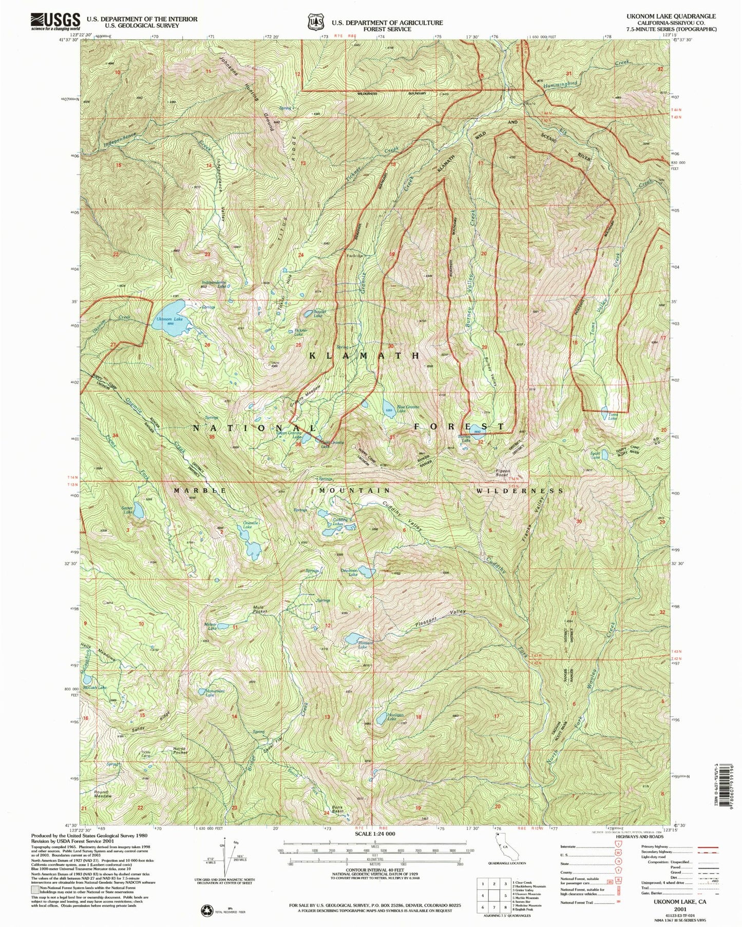
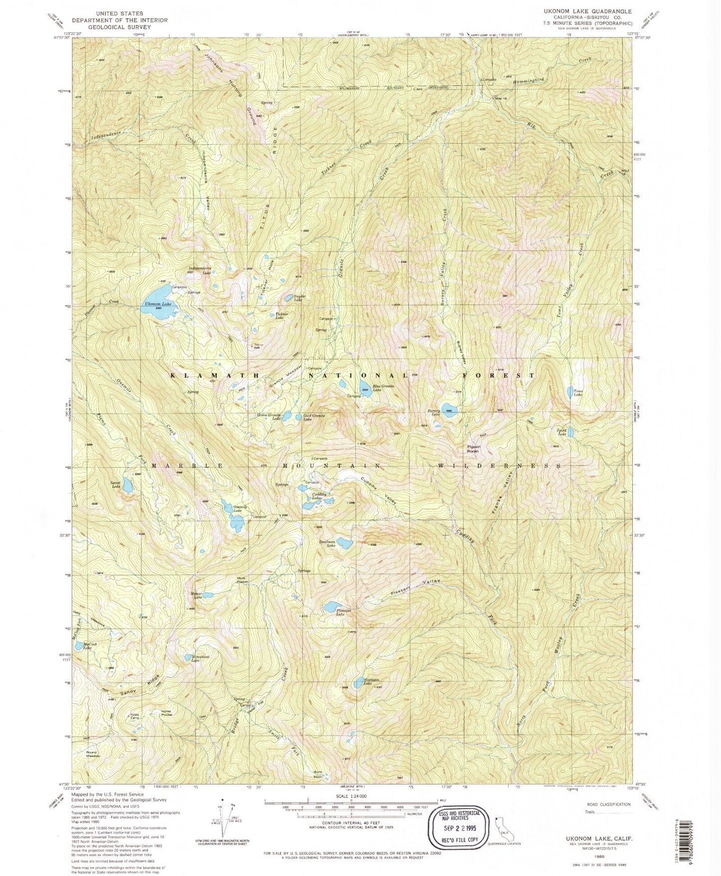
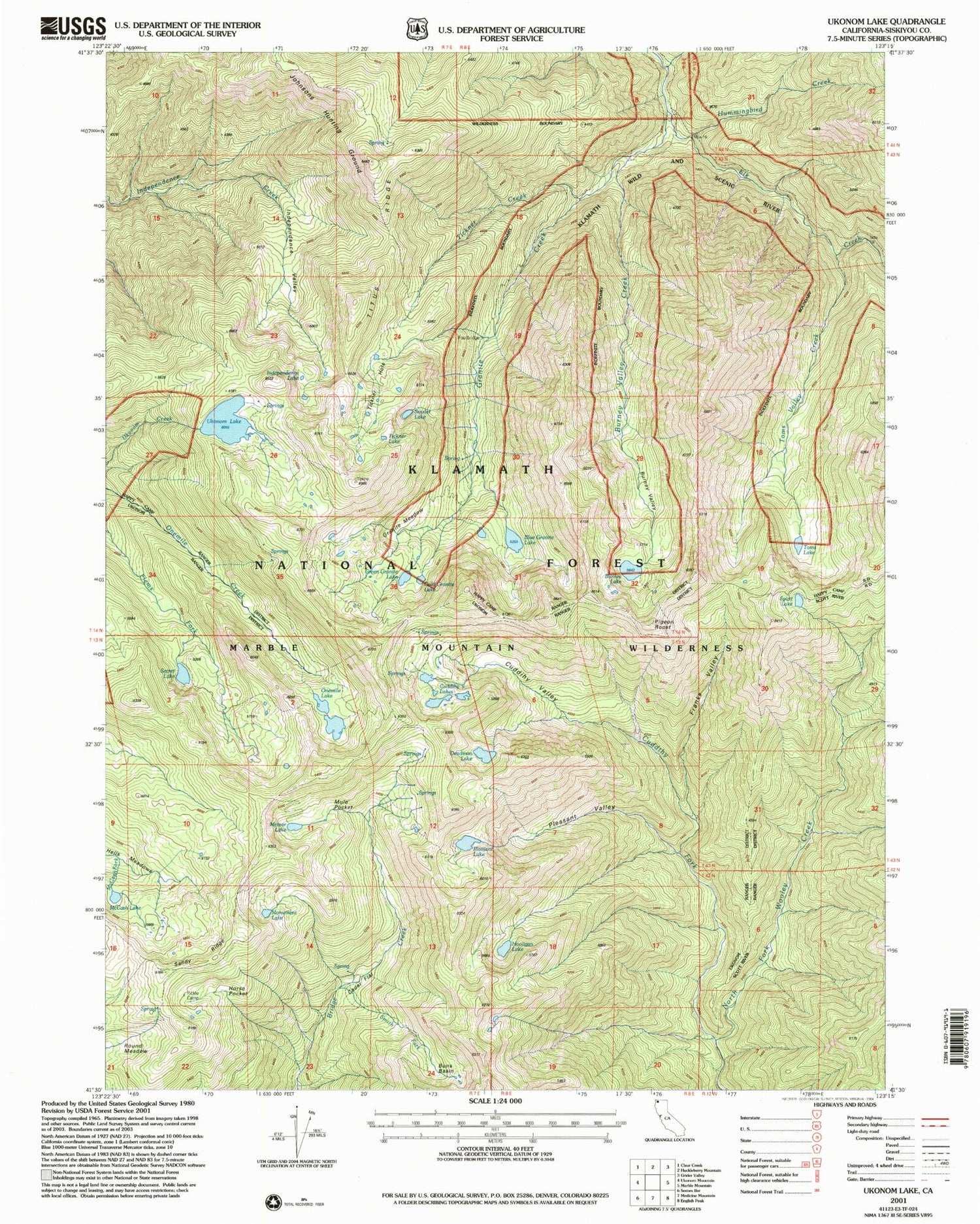
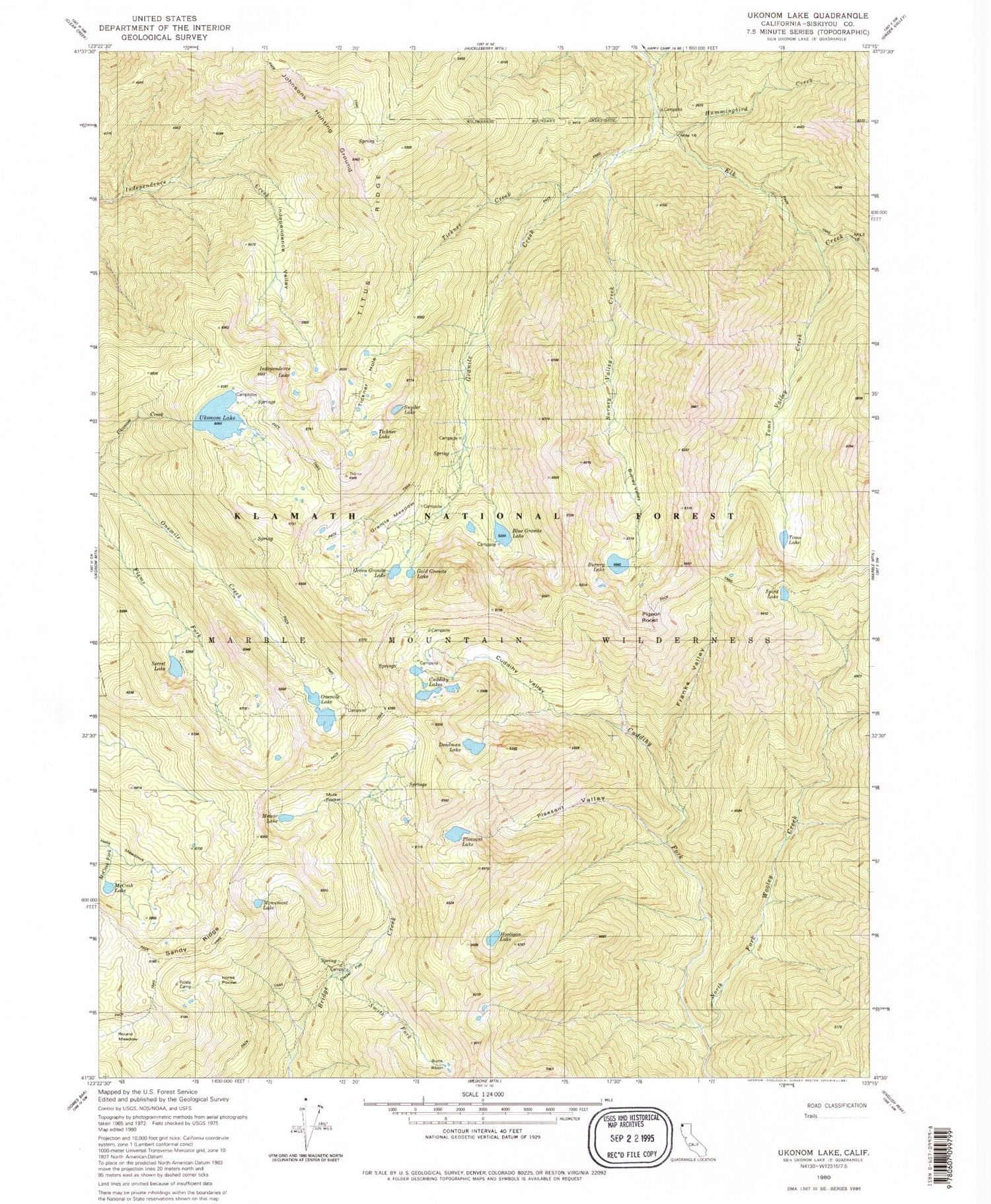
Historical USGS topographic quad map of Ukonom Lake in the state of California. Typical map scale is 1:24,000, but may vary for certain years, if available. Print size: 24" x 27"
This quadrangle is in the following counties: Siskiyou.
The map contains contour lines, roads, rivers, towns, and lakes. Printed on high-quality waterproof paper with UV fade-resistant inks, and shipped rolled.
Contains the following named places: Blue Granite Lake, Buns Basin, Burney Lake, Burney Valley Creek, Cedar Flat Cabin, Cuddihy Fork, Cuddihy Lakes, Cuddihy Valley, Deadman Lake, Franks Valley, Gold Granite Lake, Granite Creek, Green Granite Lake, Hells Meadows, Hooligan Lake, Horse Pocket, Hummingbird Creek, Independence Lake, Independence Valley, Johnsons Hunting Ground, McCash Lake, Meteor Lake, Monument Lake, Mule Pocket, Onemile Lake, Pickle Camp, Pleasant Lake, Pleasant Valley, Round Meadows, Sandy Ridge, Secret Lake, Secret Valley, Smith Fork, Snyder Lake, Spirit Lake, Tickner Hole, Tickner Lake, Toms Lake, Toms Valley Creek, Ukonom Lake, Tickner Creek, Elk Peak, Rainy Valley, Titus Ridge, No Mans Mountain, Secret Meadow, Granite Lakes, Burney Valley, Cedar Flat, Granite Meadow, Pigeon Roost


