MyTopo
Classic USGS Ulysses SW Kansas 7.5'x7.5' Topo Map
Regular price
$16.95
Regular price
Sale price
$16.95
Unit price
per
Couldn't load pickup availability
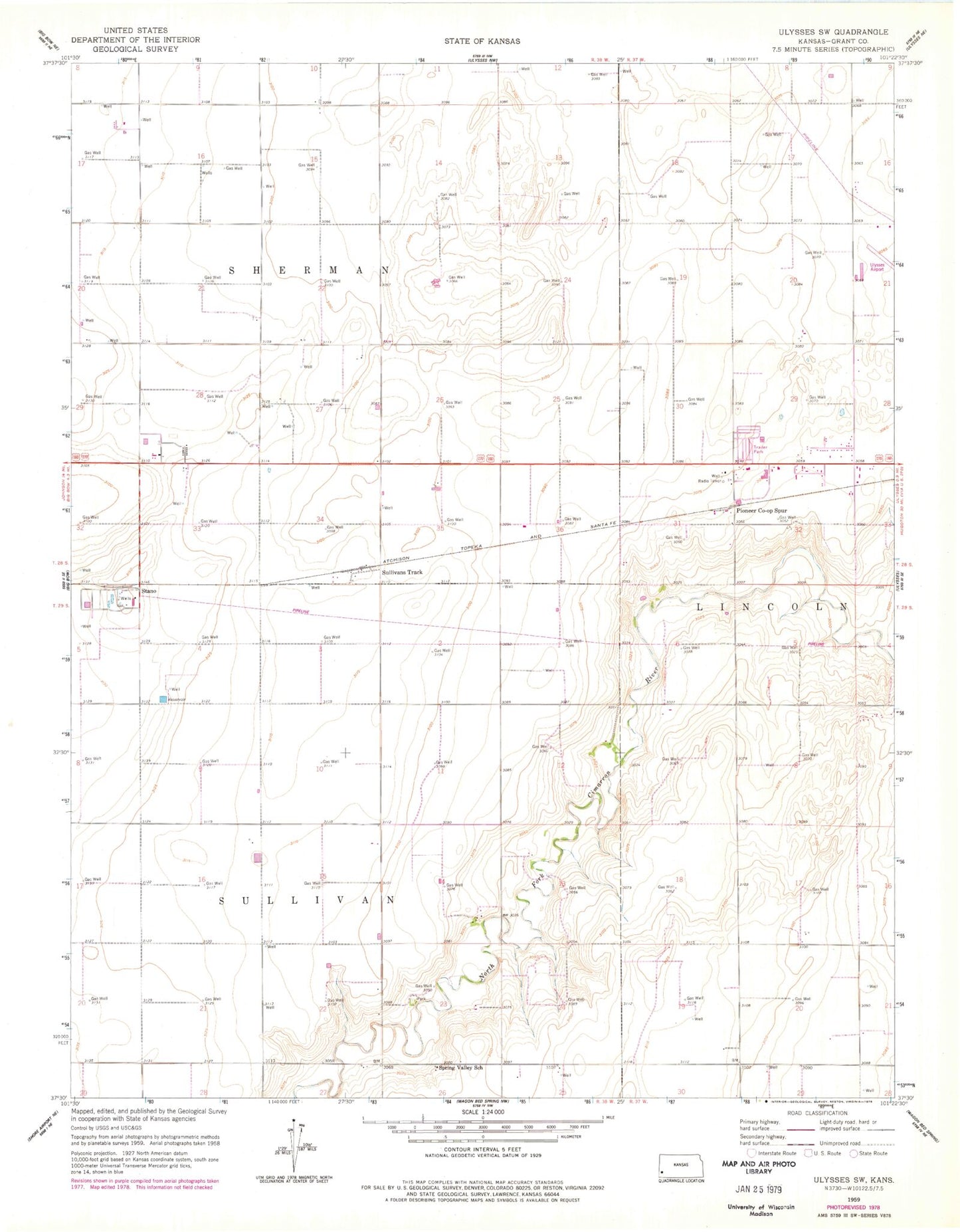
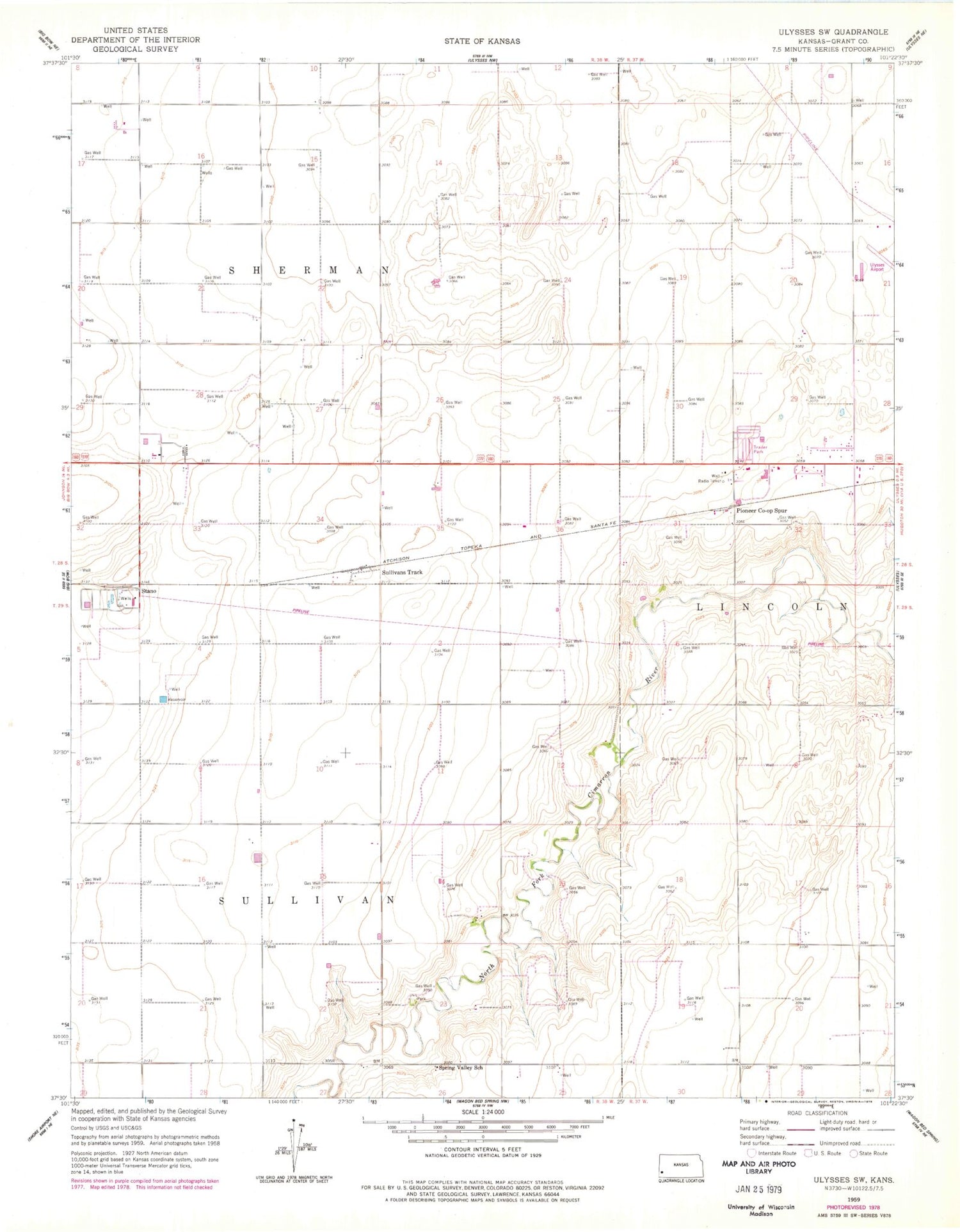
Historical USGS topographic quad map of Ulysses SW in the state of Kansas. Map scale may vary for some years, but is generally around 1:24,000. Print size is approximately 24" x 27"
This quadrangle is in the following counties: Grant.
The map contains contour lines, roads, rivers, towns, and lakes. Printed on high-quality waterproof paper with UV fade-resistant inks, and shipped rolled.
Contains the following named places: Bedrock Mobile Home Park, Brethren Church, Gognac, Grant County Road and Bridge Department, Pioneer Co-op Spur, Rose Lane Church of God, Spring Valley School, Stano, Sullivans Track