MyTopo
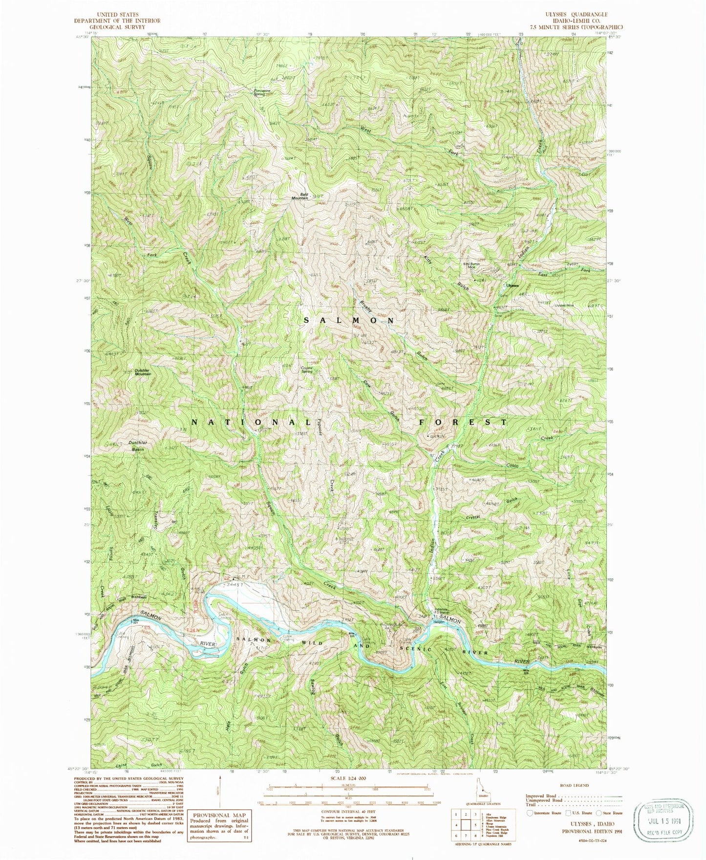
Classic USGS Ulysses Idaho 7.5'x7.5' Topo Map
Couldn't load pickup availability
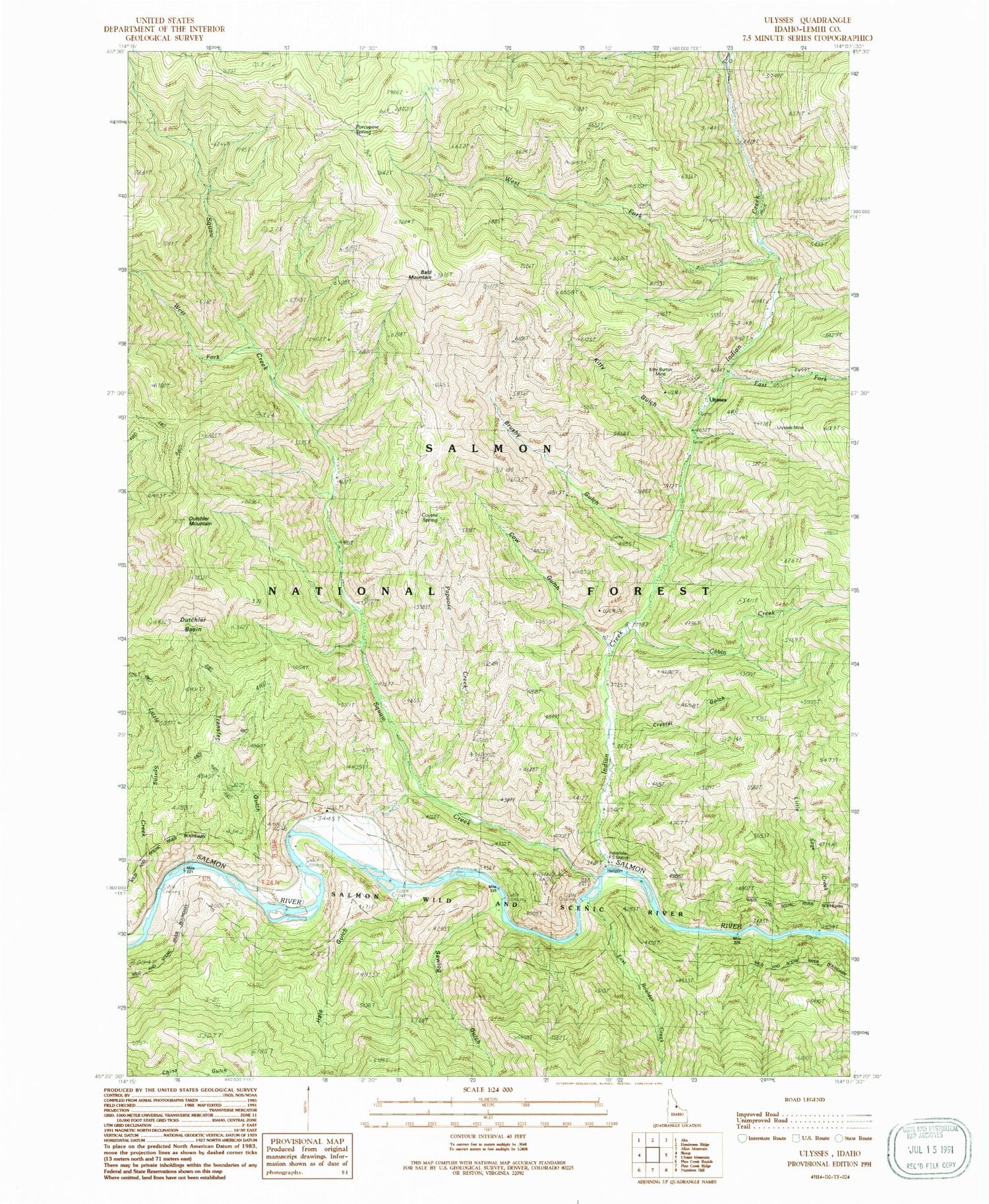
Historical USGS topographic quad map of Ulysses in the state of Idaho. Typical map scale is 1:24,000, but may vary for certain years, if available. Print size: 24" x 27"
This quadrangle is in the following counties: Lemhi.
The map contains contour lines, roads, rivers, towns, and lakes. Printed on high-quality waterproof paper with UV fade-resistant inks, and shipped rolled.
Contains the following named places: Coyote Spring, Bald Mountain, Brushy Gulch, Cabin Creek, Corral Creek, Cow Gulch, Crystal Gulch, Dutchler Mountain, East Boulder Creek, East Fork Indian Creek, Hale Gulch, Indian Creek, Indianola Field Station, Kitty Burton Mine, Kitty Gulch, Little Sage Creek, Little Spring Creek, Papoose Creek, Porcupine Spring, Squaw Creek, Transfer Gulch, Ulysses Mine, West Fork Indian Creek, West Fork Squaw Creek, Sawlog Gulch, Ulysses (historical), Indian Creek Guest Ranch, Dutchler Basin


