MyTopo
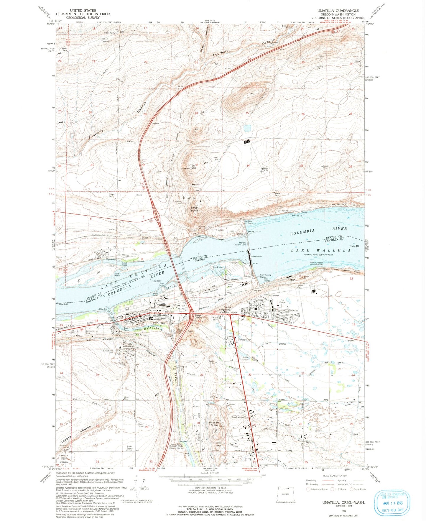
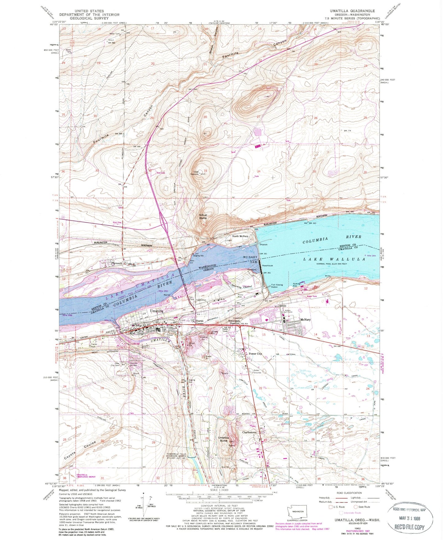
Classic USGS Umatilla Oregon 7.5'x7.5' Topo Map
Couldn't load pickup availability
Historical USGS topographic quad map of Umatilla in the states of Oregon, Washington. Map scale may vary for some years, but is generally around 1:24,000. Print size is approximately 24" x 27"
This quadrangle is in the following counties: Benton, Umatilla.
The map contains contour lines, roads, rivers, towns, and lakes. Printed on high-quality waterproof paper with UV fade-resistant inks, and shipped rolled.
Contains the following named places: Benton County Fire District 6, Brownell Ditch, Charlestown, City of Umatilla, Clara Brownell Middle School, Coyote Coulee, Gravel Pit Spur, Hermiston Junction, KLWJ-AM, M Canal, McNary, McNary Beach, McNary Beach Recreation Area, McNary Dam / Oregon Boat Ramp, McNary Dam Fish Ladder, McNary Dam Fish Viewing Station, McNary Golf Course, McNary Heights Elementary School, McNary Lock and Dam, McNary Post Office, McNary Range Channel, North McNary, Nugent Park Boat Ramp, O Canal, O Pipe, OA Lateral, OB Lateral, Pioneer Memorial Cemetery, Plymouth, Plymouth Elementary School, Plymouth Park, Plymouth Post Office, Power City, R Canal, Race City United States America, S Canal, Sharps Corner, Sillusi Butte, Spawning Channel, Straub Canyon, Sunset Hills Cemetery, Taylor Canyon, Three Mile Falls Pool, Threemile Falls Diversion Works, Two Rivers Correctional Institution, U and I McNary Number One Reservoir, Umatilla, Umatilla Bridge, Umatilla Butte, Umatilla City Hall, Umatilla Clinic, Umatilla Drain, Umatilla High School, Umatilla Junction, Umatilla Marina Park, Umatilla Marina RV Park, Umatilla Marina RV Park Boat Ramp, Umatilla Municipal Court, Umatilla Police Department, Umatilla Post Office, Umatilla Public Library, Umatilla Rapids, Umatilla River, Umatilla Rural Fire Protection District Headquarters, Umatilla Rural Fire Protection District Station 2, Umatilla Toll Bridge Toll Plaza, Umatilla Wastewater Treatment Facility, Wolfe Feedlot, ZIP Codes: 97882, 99346


