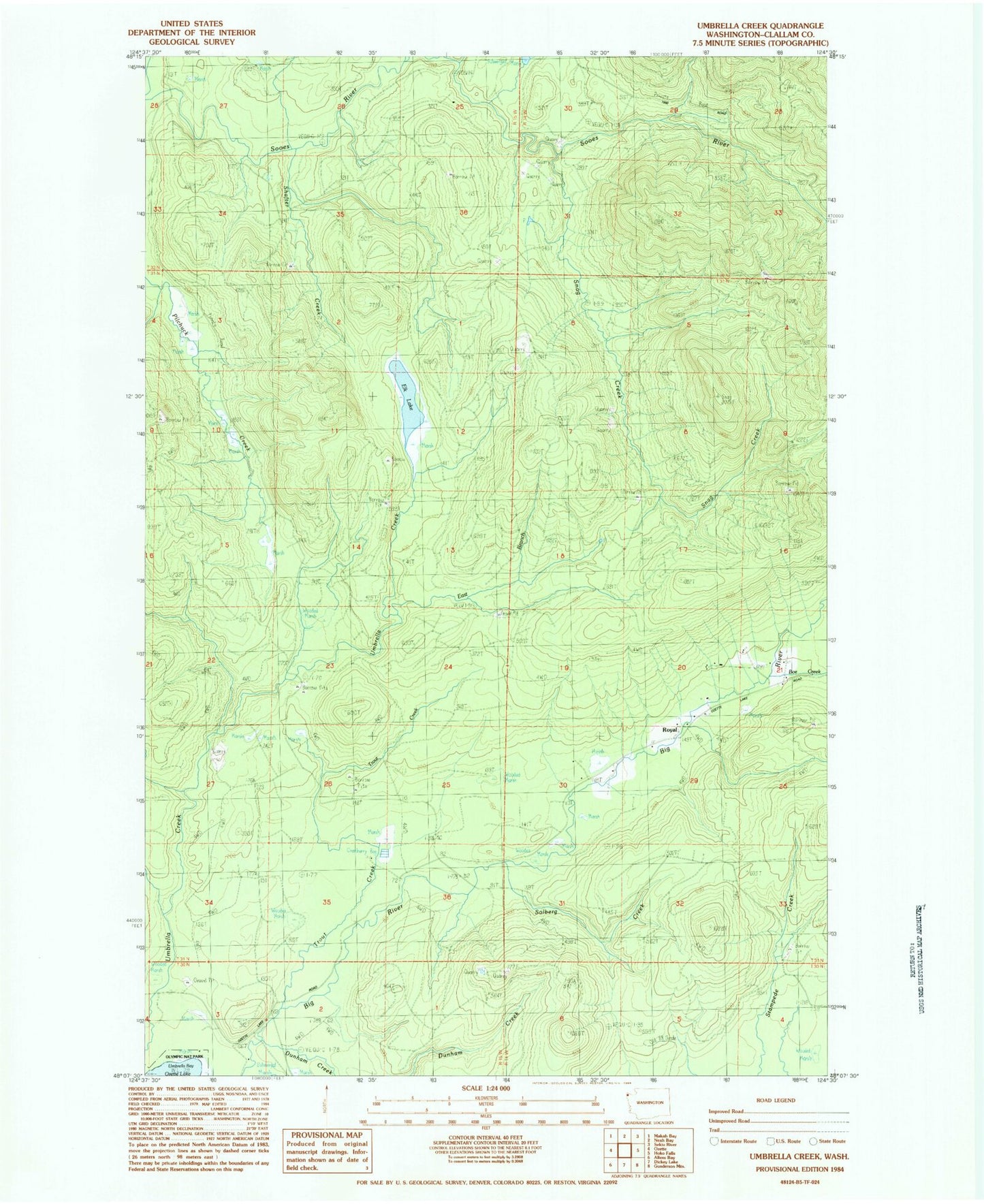
MyTopo
Classic USGS Umbrella Creek Washington 7.5'x7.5' Topo Map
Regular price
$16.95
Regular price
Sale price
$16.95
Unit price
per
Couldn't load pickup availability
Historical USGS topographic quad map of Umbrella Creek in the state of Washington. Map scale may vary for some years, but is generally around 1:24,000. Print size is approximately 24" x 27"
This quadrangle is in the following counties: Clallam.
The map contains contour lines, roads, rivers, towns, and lakes. Printed on high-quality waterproof paper with UV fade-resistant inks, and shipped rolled.
Contains the following named places: Boe Creek, Dunham Creek, East Branch Umbrella Creek, Elk Lake, Iverson Ranch, Person Ranch, Royal, Royal School, Shafter Creek, Snag Creek, Snag Peak, Solberg Creek, Trout Creek, Wesseler Ranch