MyTopo
Classic USGS Unadilla New York 7.5'x7.5' Topo Map
Couldn't load pickup availability
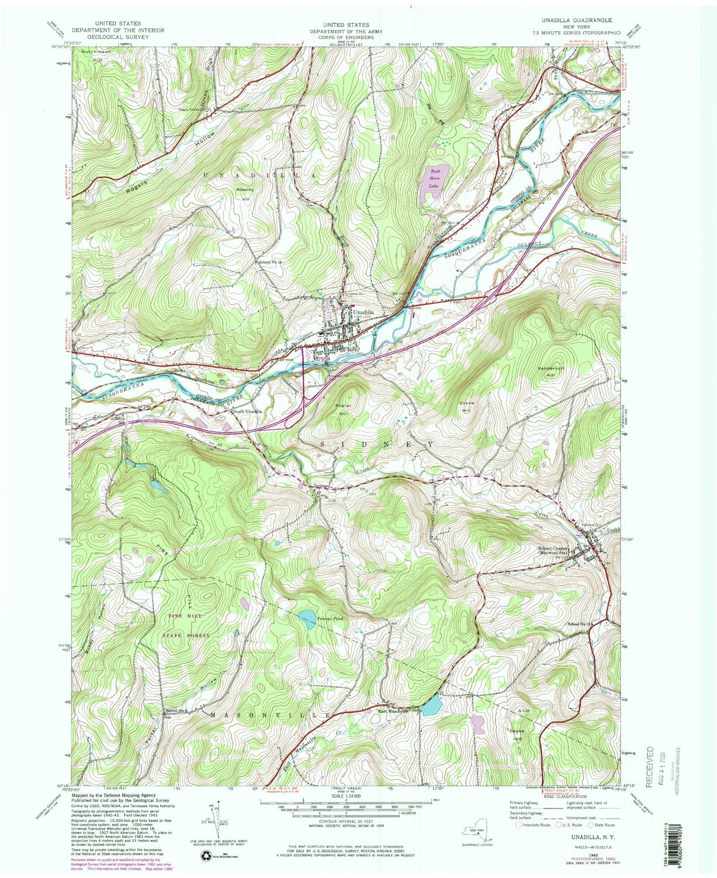
Historical USGS topographic quad map of Unadilla in the state of New York. Map scale may vary for some years, but is generally around 1:24,000. Print size is approximately 24" x 27"
This quadrangle is in the following counties: Delaware, Otsego.
The map contains contour lines, roads, rivers, towns, and lakes. Printed on high-quality waterproof paper with UV fade-resistant inks, and shipped rolled.
Contains the following named places: Barnes Trailer Park, Bishop Farm, Buck Horn Lake, Carrs Creek, Chestnut Hill Cemetery, Couse Hill, Crane Hill, East Masonville, East Masonville Cemetery, Evergreen Hill Cemetery, First Presbyterian Church, Gillette School, Highland Cemetery, Hotel Bishop, Ideuma Brook, Kilkenny Hill, Martin Brook, Olmstead Landing Strip, Ouleout Creek, Pine Hill, Pond View Koi Farm, Poplar Hill, Rogers Hollow Cemetery, S S North Fire Company Number 1, Saint Ambrose Roman Catholic Church, Saint Matthew's Episcopal Church, Sand Hill Creek, School Number 12, School Number 15, School Number 6, School Number 8, Sidney Assembly of God, Sidney Center, Sidney Center Baptist Church, Sidney Center Elementary School, Sidney Center Post Office, Sidney Center Volunteer Fire Department, Sidney Memorial Public Library Sidney Center Branch, Skytop Quarry, South Unadilla, The Fly, Town of Sidney, Town of Unadilla, Unadilla, Unadilla Baptist Church, Unadilla Drive-In, Unadilla Eastbound Rest Area, Unadilla Elementary School, Unadilla Fire Department, Unadilla House, Unadilla Post Office, Unadilla Public Library, Unadilla United Methodist Church, Unadilla Westbound Rest Area, Union Cemetery, Vandervort Hill, Village of Unadilla, WCDO-FM (Sidney), Youngs, Youngs Pond, ZIP Codes: 13839, 13849


