MyTopo
Classic USGS Unaka North Carolina 7.5'x7.5' Topo Map
Couldn't load pickup availability
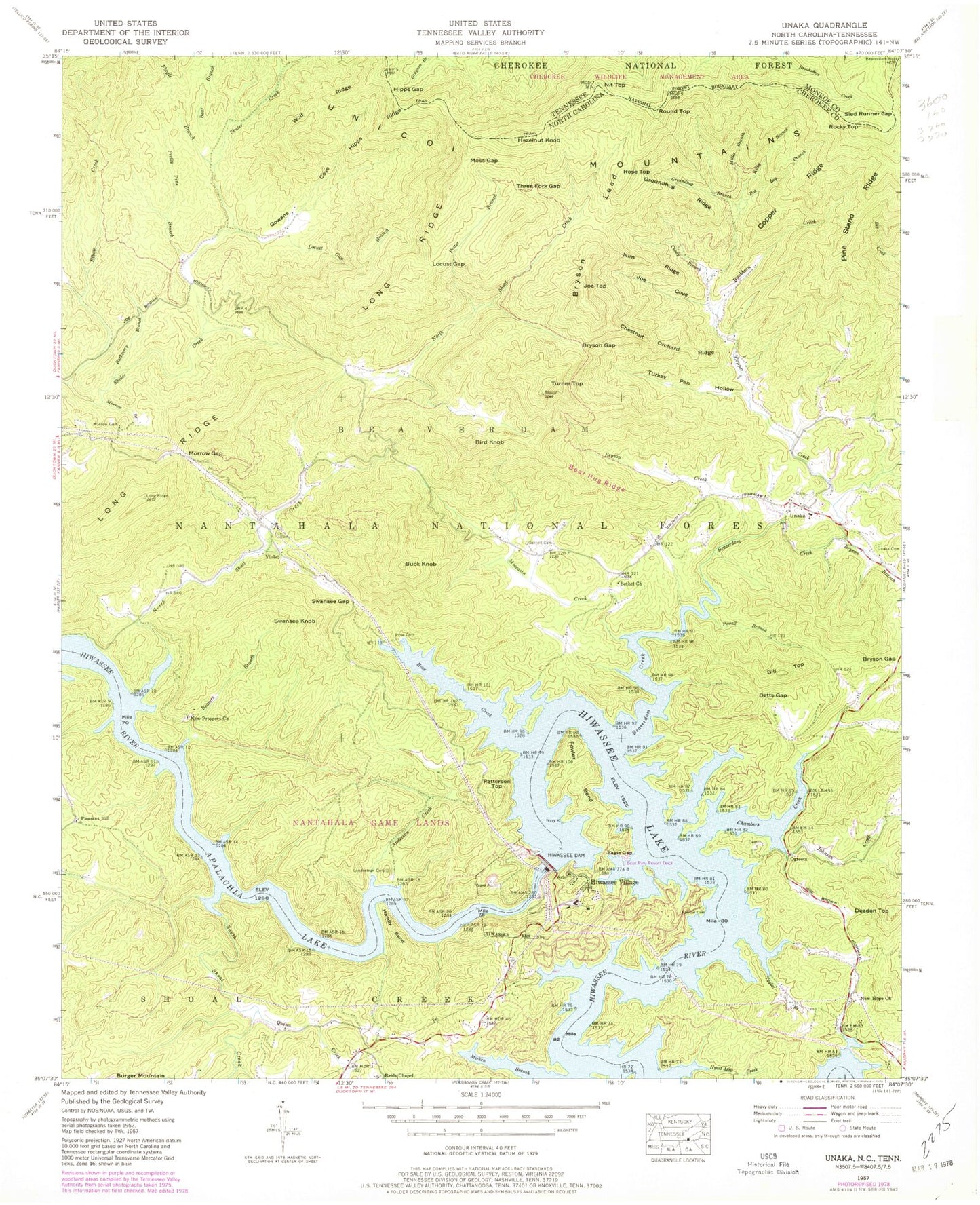
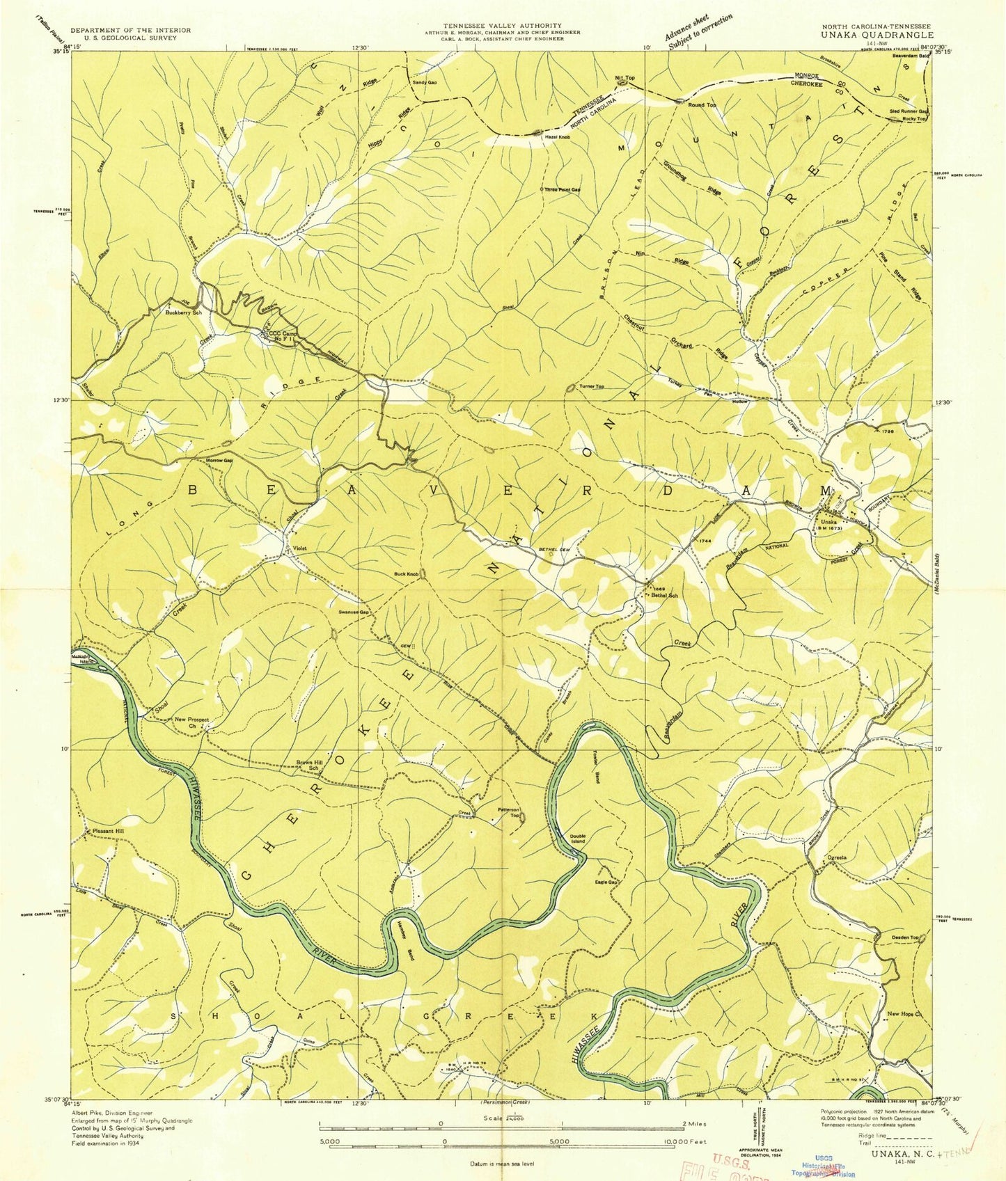
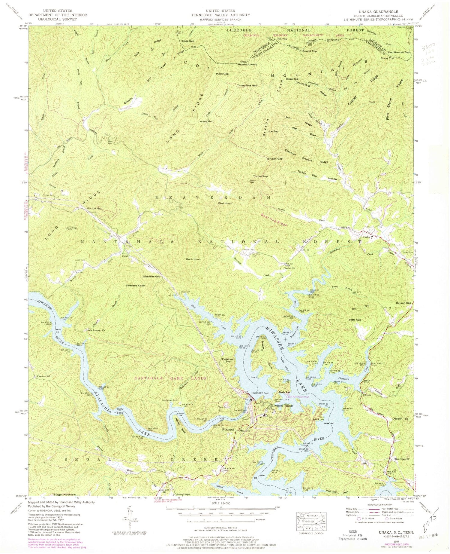
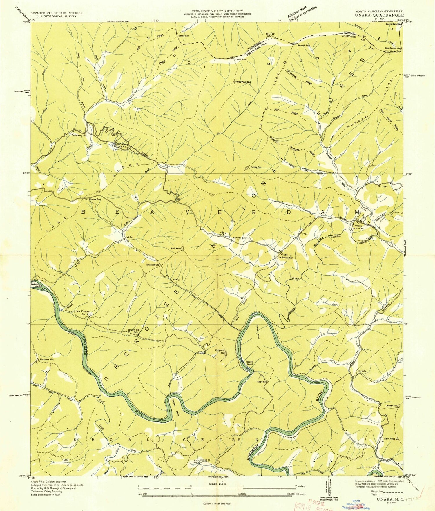
Historical USGS topographic quad map of Unaka in the states of North Carolina, Tennessee. Typical map scale is 1:24,000, but may vary for certain years, if available. Print size: 24" x 27"
This quadrangle is in the following counties: Cherokee, Monroe.
The map contains contour lines, roads, rivers, towns, and lakes. Printed on high-quality waterproof paper with UV fade-resistant inks, and shipped rolled.
Contains the following named places: Anderson Creek, Bear Hug Ridge, Bear Paw Resort Dock, Beavers Branch, Bethel Church, Betts Gap, Bryson Creek, Bryson Gap, Bryson Gap, Bryson Lead, Buckberry Branch, Buckhorn Creek, Chestnut Orchard Ridge, Cindy Branch, Copper Creek, Copper Ridge, Eagle Gap, Elbow Creek, Farrow Cemetery, Fowler Bend, Garrett Cemetery, Gowans Cove, Groundhog Branch, Groundhog Ridge, Hamby Bend, Hipps Gap, Hipps Ridge, Hiwassee Dam, Hyatt Mill Creek, Joe Cove, Kilby Branch, Lenderman Cemetery, Locust Gap, Locust Gap Branch, Miller Branch, Moccasin Creek, Morrow Branch, Morrow Cemetery, Morrow Gap, Moss Gap, New Hope Church, New Prospect Church, Nim Ridge, North Shoal Creek, Pot Log Branch, Potter Branch, Powell Branch, Pretty Pine Branch, Reids Chapel, Rose Cemetery, Rose Creek (historical), Sled Runner Gap, Swansee Gap, Taylor Branch, Three Fork Gap, Turkey Pen Hollow, Unaka Cemetery, Wolf Ridge, Bear Hug Creek, Unaka Elementary School, Apalachia Lake, Bear Branch, Beaverdam Creek, Bryson Branch, Chambers Creek, Floyde Branch, Hiwassee Lake, Johnson Creek, Long Ridge, Micken Branch (historical), Pine Stand Ridge, Quinn Creek, South Shoal Creek, New Prospect Cemetery, Pleasant Hill Church, Bill Top, Bird Knob, Buck Knob, Deaden Top, Hiwassee Village, Joe Top, Ogreeta, Patterson Top, Pleasant Hill, Rose Top, Round Top, Swansee Knob, Turner Top, Unaka, Violet, Township of Beaverdam, Unaka Volunteer Fire Department, Nit Top, Hazelnut Knob, Rocky Top


