MyTopo
Classic USGS Unap Mountain Oklahoma 7.5'x7.5' Topo Map
Couldn't load pickup availability
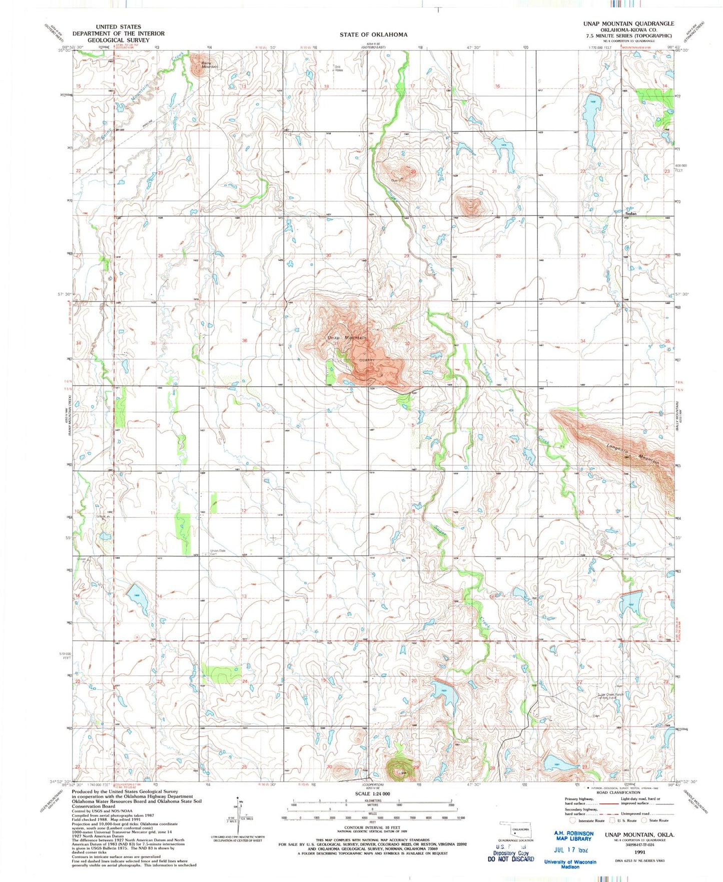
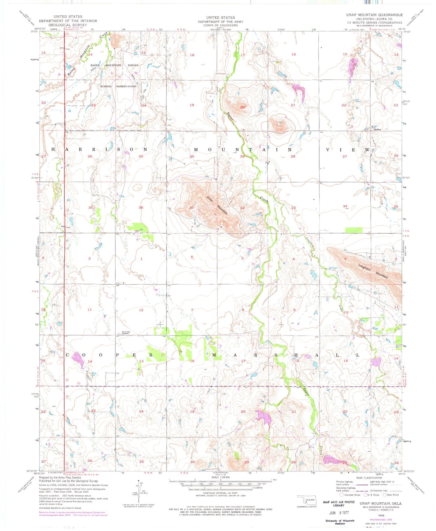
Historical USGS topographic quad map of Unap Mountain in the state of Oklahoma. Map scale may vary for some years, but is generally around 1:24,000. Print size is approximately 24" x 27"
This quadrangle is in the following counties: Kiowa.
The map contains contour lines, roads, rivers, towns, and lakes. Printed on high-quality waterproof paper with UV fade-resistant inks, and shipped rolled.
Contains the following named places: Jennings Ranch Airport, Longhorn Creek, Oknoname 075018 Dam, Oknoname 075018 Reservoir, Rainy Mountain, Rainy Mountain Creek Site 10 Dam, Rainy Mountain Creek Site 10 Reservoir, Rainy Mountain Creek Site 11 Dam, Rainy Mountain Creek Site 11 Reservoir, Rainy Mountain Creek Site 13 Dam, Rainy Mountain Creek Site 13 Reservoir, Rainy Mountain Creek Site 4 Dam, Rainy Mountain Creek Site 4 Reservoir, Rainy Mountain Creek Site 6 Dam, Rainy Mountain Creek Site 6 Reservoir, Rainy Mountain Creek Site 8a Dam, Rainy Mountain Creek Site 8a Reservoir, Rainy Mountain Creek Site 9 Dam, Rainy Mountain Creek Site 9 Reservoir, Rainy Mountain Indian School Reservation, Sedan, Sedan Volunteer Fire Association, Sugar Creek Ranch Airport, Unap Mountain, Union Dale Cemetery