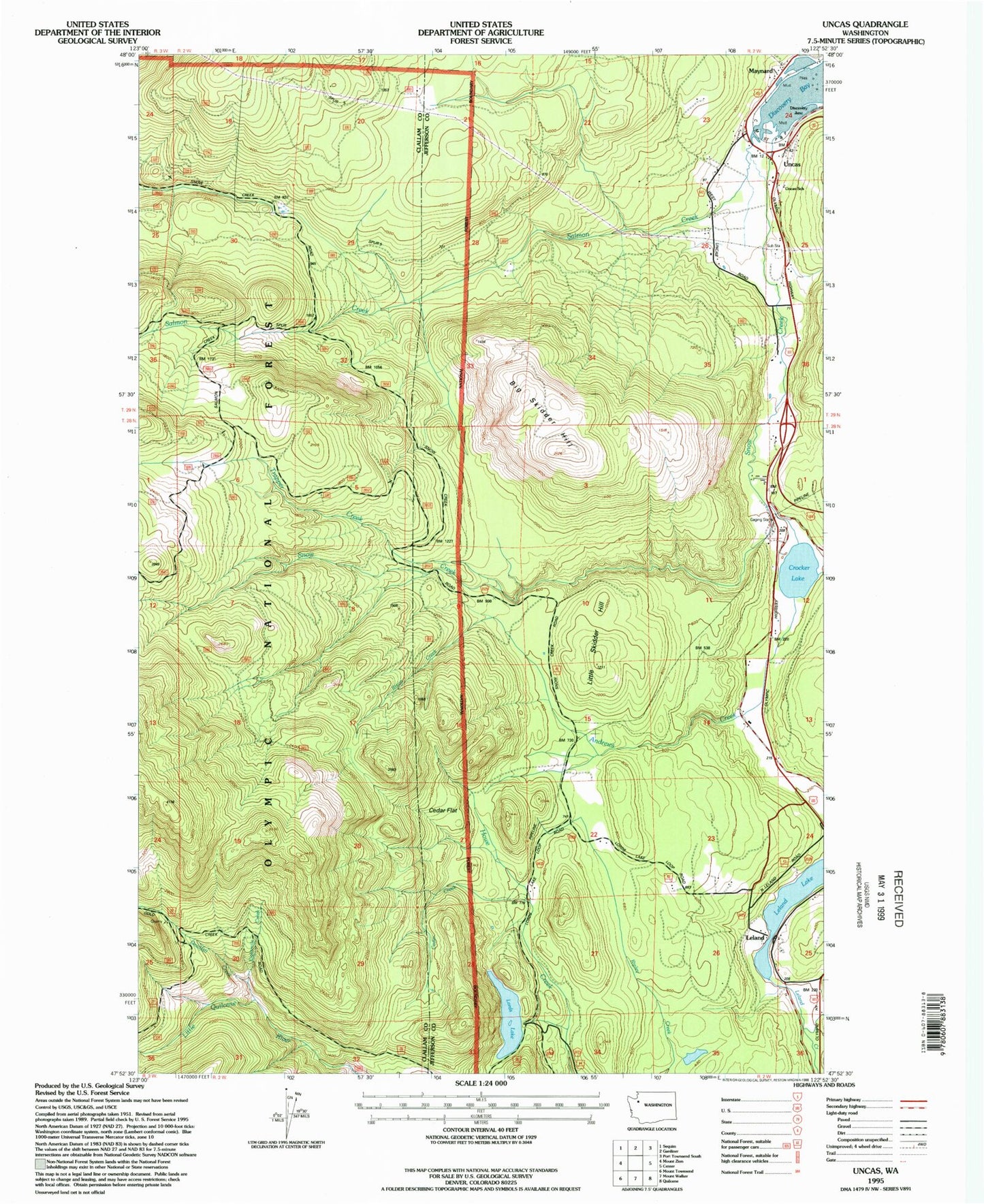
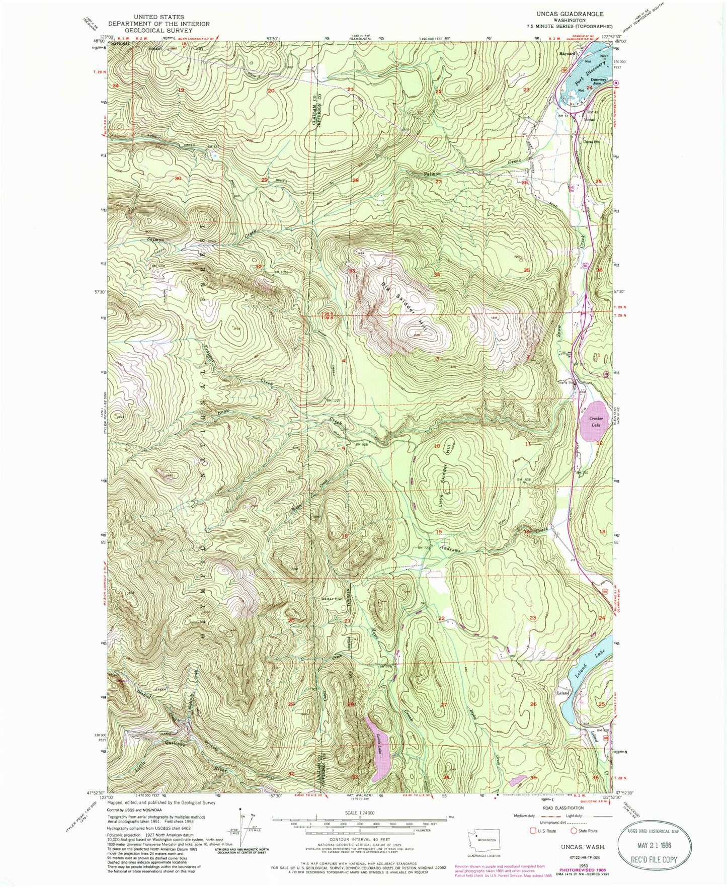
MyTopo
Classic USGS Uncas Washington 7.5'x7.5' Topo Map
Couldn't load pickup availability
Historical USGS topographic quad map of Uncas in the state of Washington. Map scale may vary for some years, but is generally around 1:24,000. Print size is approximately 24" x 27"
This quadrangle is in the following counties: Clallam, Jefferson.
The map contains contour lines, roads, rivers, towns, and lakes. Printed on high-quality waterproof paper with UV fade-resistant inks, and shipped rolled.
Contains the following named places: Andrews Creek, Big Skidder Hill, Cedar Creek, Cedar Flat, Crocker Lake, Crocker Lake Boat Launch Ramp, Deadfall Creek, Deadfall Trail, Discovery Bay, Eightmile Creek, Jefferson County Fire Protection District 5 Discovery Bay Fire Department Station 51, Leland, Leland Lake, Little Skidder Hill, Lords Lake, Lords Lake East Dam, Lords Lake North Dam, Maynard, Mount Zion Trail, Olympic Field, Rixon Creek, Salmon Creek, Snow Creek, Trapper Creek, Uncas, Uncas School