MyTopo
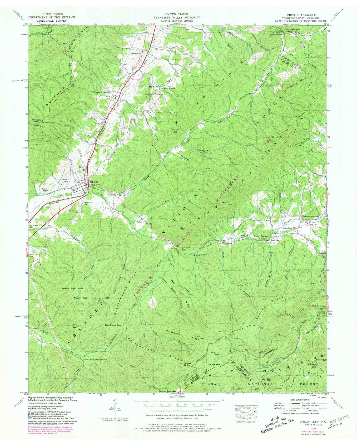
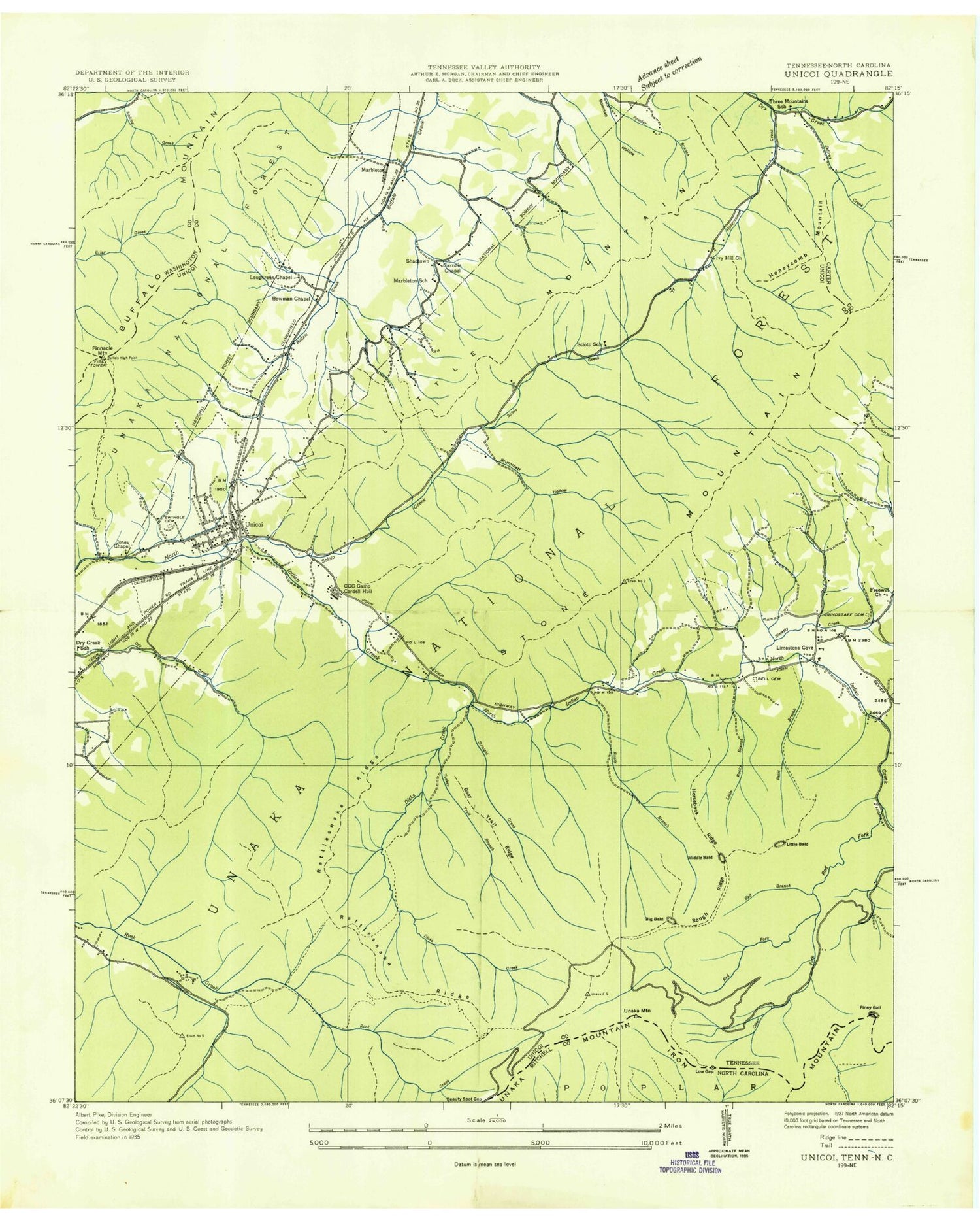
Classic USGS Unicoi Tennessee 7.5'x7.5' Topo Map
Couldn't load pickup availability
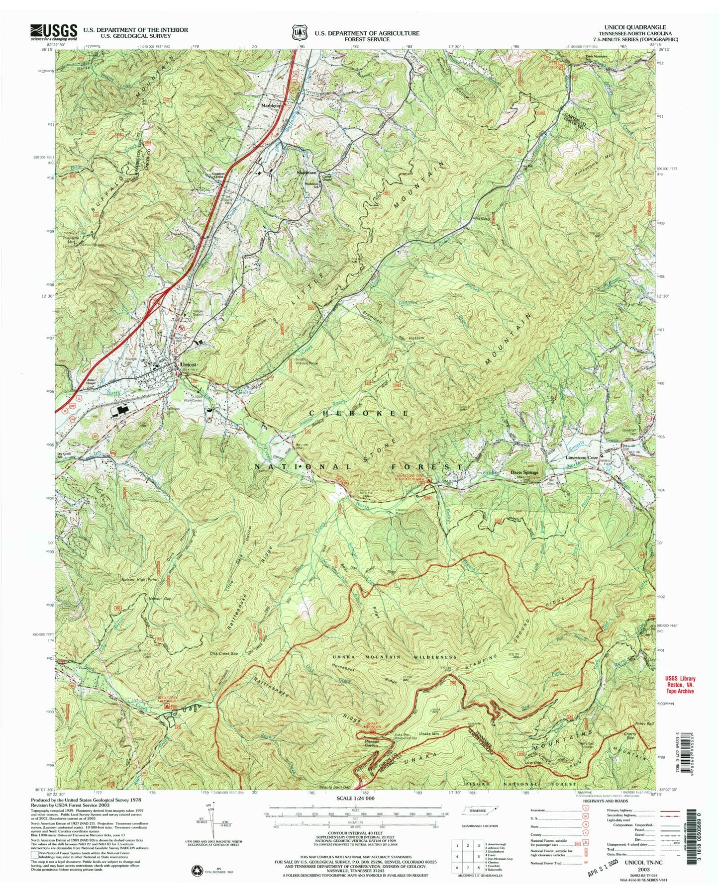
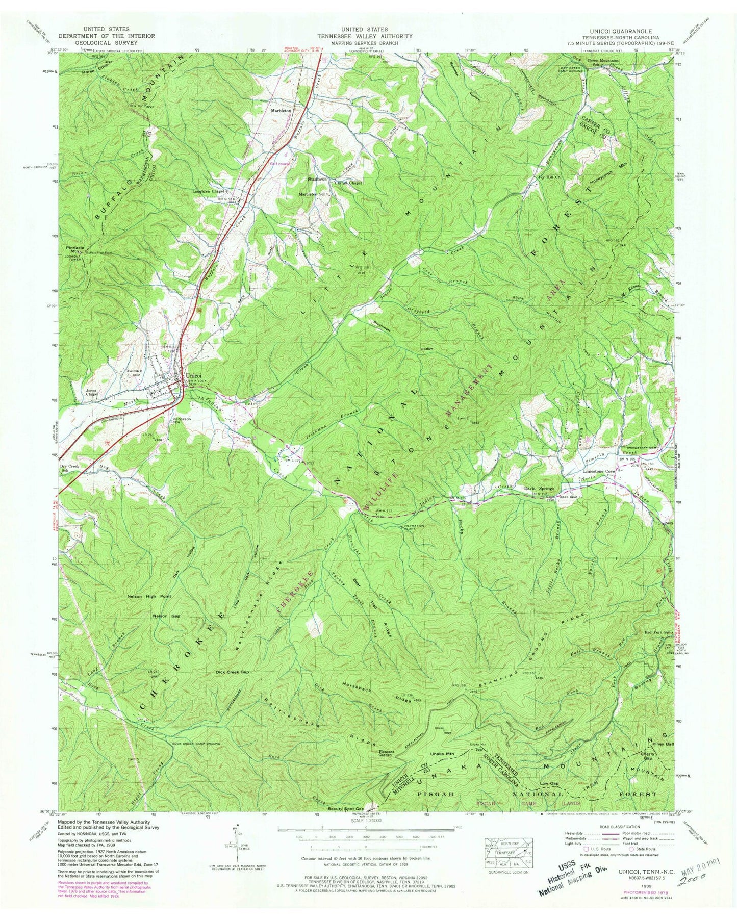
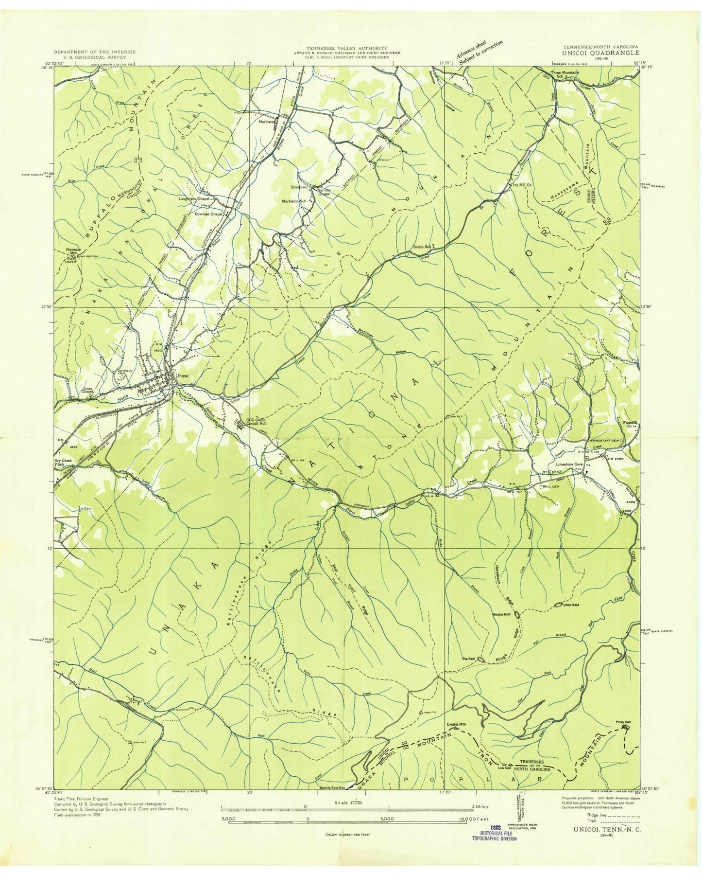
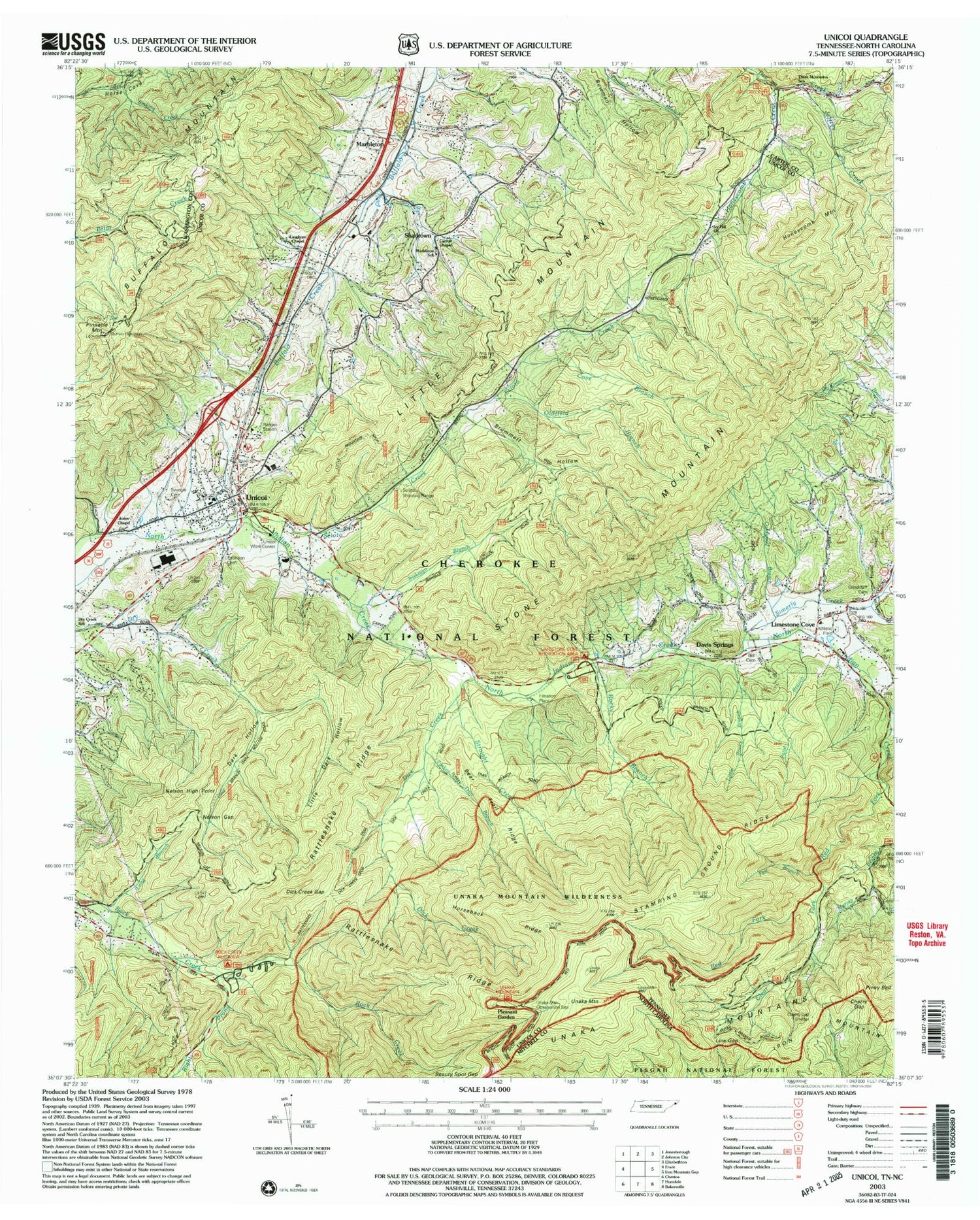
Historical USGS topographic quad map of Unicoi in the states of Tennessee, North Carolina. Typical map scale is 1:24,000, but may vary for certain years, if available. Print size: 24" x 27"
This quadrangle is in the following counties: Carter, Mitchell, Unicoi, Washington.
The map contains contour lines, roads, rivers, towns, and lakes. Printed on high-quality waterproof paper with UV fade-resistant inks, and shipped rolled.
Contains the following named places: Piney Ball, Buffalo Mountain, Stamping Ground Ridge, Straight Creek, Swingle Cemetery, Three Mountains School, Turkey Trail Branch, Bear Trail Ridge, Bell Cemetery, Brummett Hollow, Carroll Chapel, Clear Fork, Cordwood Branch, Cove Branch, Dark Hollow, Dick Creek, Dick Creek Gap, Dry Creek Camp Ground, Dry Creek School, Fall Branch, Grindstaff Cemetery, Honeycomb Creek, Honeycomb Mountain, Horseback Ridge, Irishman Branch, Ivy Hill Church, Jeffrey Creek, Jones Chapel, Laughren Chapel, Little Dark Hollow, Little Rocky Branch, Long Branch, Marbleton School, Nelson Gap, Nelson High Point, Oldfield Branch, Paint Branch, Peterson Cemetery, Pinnacle Mountain, Rattlesnake Ridge, Red Fork, Red Fork School, Right Prong Rock Creek, Rock Creek Camp Ground, Rocky Branch, Scioto Creek, Appalachian Flying Service Number One Airport (historical), Stone Mountain, Unaka Mountain, Unicoi, Unicoi Elementary School, Davis Springs, Limestone Cove, Marbleton, Pleasant Garden, Shadtown, Limestone Cove School (historical), Unicoi Baptist Church, Long Branch, Dick Creek Gap, Nelson High Point, Unaka Mountain Scenic Area, Rock Creek Camp Ground, Rattlesnake Trail, Turkey Trail Branch, Unaka Mountain Campground, Cherry Gap Shelter, Dick Creek, Fall Branch, Red Fork, Red Fork School, Cordwood Branch, Rocky Branch, Limestone Cove Campground, Davis Springs, Paint Branch, Scoito Shooting Range, Straight Creek, Irishman Branch, CCC Camp Cordell Hull, Jones Chapel, Dry Creek School, Scioto Creek, Buffalo High Point, Pinnacle Mountain Lookout, Marbleton, Marbleton School, Laughren Chapel, Cove Branch, Oldfield Branch, Carroll Chapel, Ivy Hill Church, Honeycomb Creek, Jeffrey Creek, Three Mountains Schools, Right Prong Rock Creek, Little Mountain, Indian Creek, Britt Mine, Gaddy Prospect, Head Prospect, John Brummett Mine, Jones Mine, Sam Brummett Mine, Street Mine, Tipton Prospect, Unicoi Mine, Unicoi Prospect, Three Mountains, Buchanan Cemetery, Sugar Hollow, Whispering Pines, Hemlock Forest Trail, Limestone Cove Recreation Area, Limestone Cove Trail, Little Dark Hollow Trail, Pinnacle Tower Trail, Rattlesnake Ridge Trail, Ravens Lore Trail, Red Fork Falls Trail, Rock Creek Bicycle Trail, Rock Creek Falls Trail, Stamping Ground Trail, Unaka Mountain Recreation Area, Unaka Mountain Scenic Trail, Unicoi Division (historical), Unicoi Post Office, Unaka Mountain Wilderness, Town of Unicoi, Commissioner District 3, Limestone Cove Volunteer Fire Department, Unicoi Volunteer Fire Department, Cherokee National Forest Fire Service, Cherry Gap, Low Gap, Big Ball, Piney Ball, Buffalo Mountain, Stamping Ground Ridge, Straight Creek, Swingle Cemetery, Three Mountains School, Turkey Trail Branch, Bear Trail Ridge, Bell Cemetery, Brummett Hollow, Carroll Chapel, Clear Fork, Cordwood Branch, Cove Branch, Dark Hollow, Dick Creek, Dick Creek Gap, Dry Creek Camp Ground, Dry Creek School, Fall Branch, Grindstaff Cemetery, Honeycomb Creek, Honeycomb Mountain, Horseback Ridge, Irishman Branch, Ivy Hill Church, Jeffrey Creek, Jones Chapel, Laughren Chapel, Little Dark Hollow, Little Rocky Branch, Long Branch, Marbleton School, Nelson Gap, Nelson High Point, Oldfield Branch, Paint Branch, Peterson Cemetery, Pinnacle Mountain, Rattlesnake Ridge, Red Fork, Red Fork School, Right Prong Rock Creek, Rock Creek Camp Ground, Rocky Branch, Scioto Creek, Appalachian Flying Service Number One Airport (historical), Stone Mountain, Unaka Mountain, Unicoi, Unicoi Elementary School, Davis Springs, Limestone Cove, Marbleton, Pleasant Garden, Shadtown, Limestone Cove School (historical), Unicoi Baptist Church, Long Branch, Dick Creek Gap, Nelson High Point, Unaka Mountain Scenic Area, Rock Creek Camp Ground, Rattlesnake Trail, Turkey Trail Branch, Unaka Mountain Campground, Cherry Gap Shelter, Dick Creek, Fall Branch, Red Fork, Red Fork School, Cordwood Branch, Rocky Branch, Limestone Cove Campground, Davis Springs, Paint Branch, Scoito Shooting Range, Straight Creek, Irishman Branch, CCC Camp Cordell Hull, Jones Chapel, Dry Creek School, Scioto Creek, Buffalo High Point, Pinnacle Mountain Lookout, Marbleton, Marbleton School, Laughren Chapel, Cove Branch, Oldfield Branch, Carroll Chapel, Ivy Hill Church, Honeycomb Creek, Jeffrey Creek, Three Mountains Schools, Right Prong Rock Creek, Little Mountain, Indian Creek, Britt Mine, Gaddy Prospect
