MyTopo
Classic USGS Union City Pennsylvania 7.5'x7.5' Topo Map
Couldn't load pickup availability
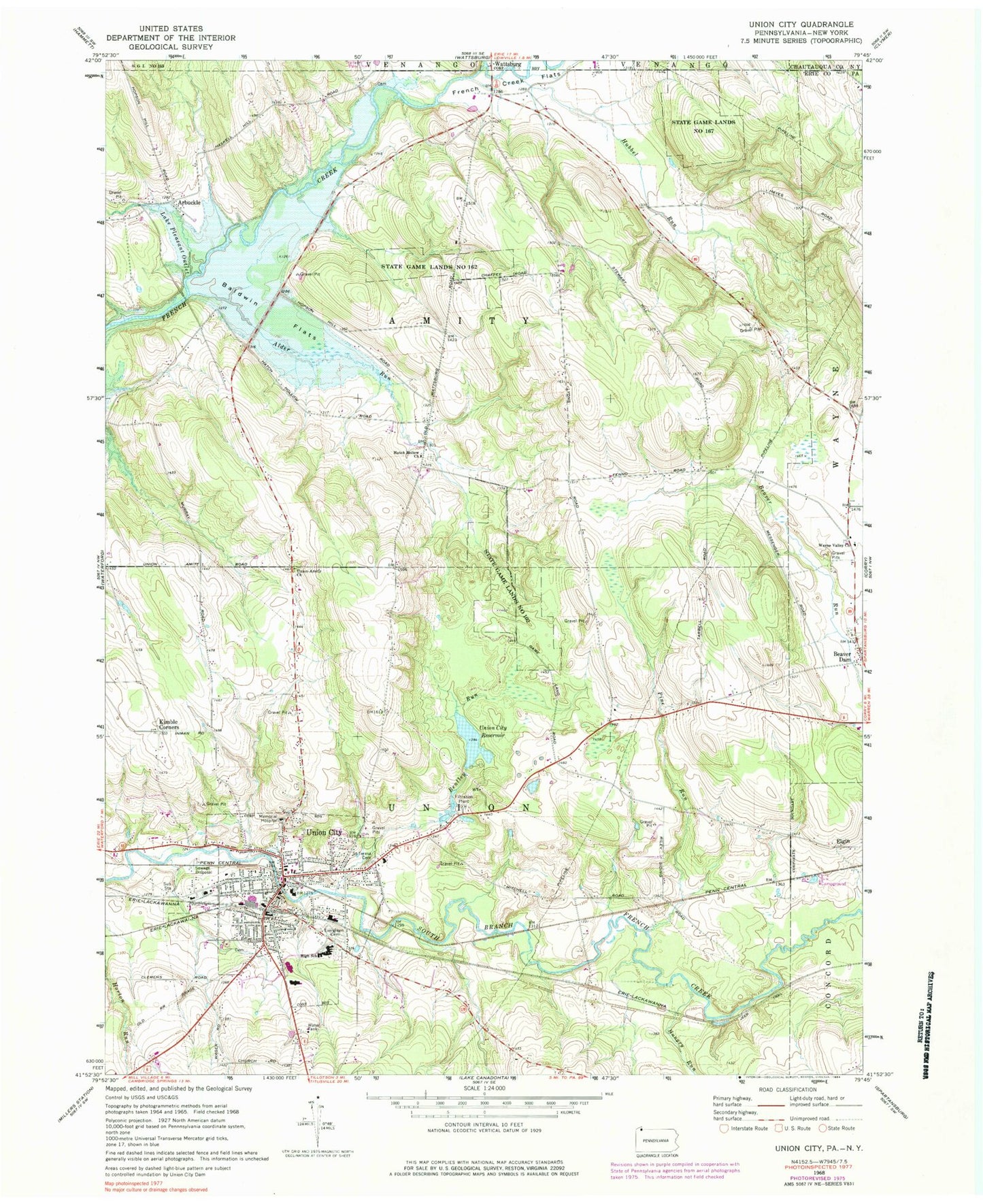
Historical USGS topographic quad map of Union City in the state of Pennsylvania. Map scale may vary for some years, but is generally around 1:24,000. Print size is approximately 24" x 27"
This quadrangle is in the following counties: Chautauqua, Erie.
The map contains contour lines, roads, rivers, towns, and lakes. Printed on high-quality waterproof paper with UV fade-resistant inks, and shipped rolled.
Contains the following named places: Alder Run, Arbuckle, Baldwin Flats, Baldwin School, Beaver Dam, Bentley Run, Bisbee Farms, Blossom Farm, Borough of Union City, Carters Corners, Chaffee School, Emerson School, Evergreen Cemetery, Fenno School, French Creek Flats, Hatch Hollow Church, Hatch Hollow School, Horizon Hill Ranch, Howard School, Hubbel Run, Hungry Run, Kimble Corners, Lake Pleasant Outlet, Lawn Cemetery of Beaverdam, Maplewood Cemetery, Memorial Hospital, Pennsylvania State Police Troop E Corry Station, Pine Run, Saint Teresa Cemetery, Sherwood School, Shreve Farms, Sills School, Smith School, Smith's Dairy Farm, State Game Lands Number 102, State Game Lands Number 162, State Game Lands Number 167, Thompson Pioneer Cemetery, Titus Bog, Township of Amity, Township of Union, Union City, Union City Ambulance Service, Union City Fish Hatchery, Union City Junior-Senior High School, Union City Police Department, Union City Post Office, Union City Public Library, Union City Reservoir, Union City Reservoir Dam, Union City Volunteer Fire Department 113, Union-Amity Church, Wayne Valley Church, West Branch French Creek, ZIP Code: 16438


