MyTopo
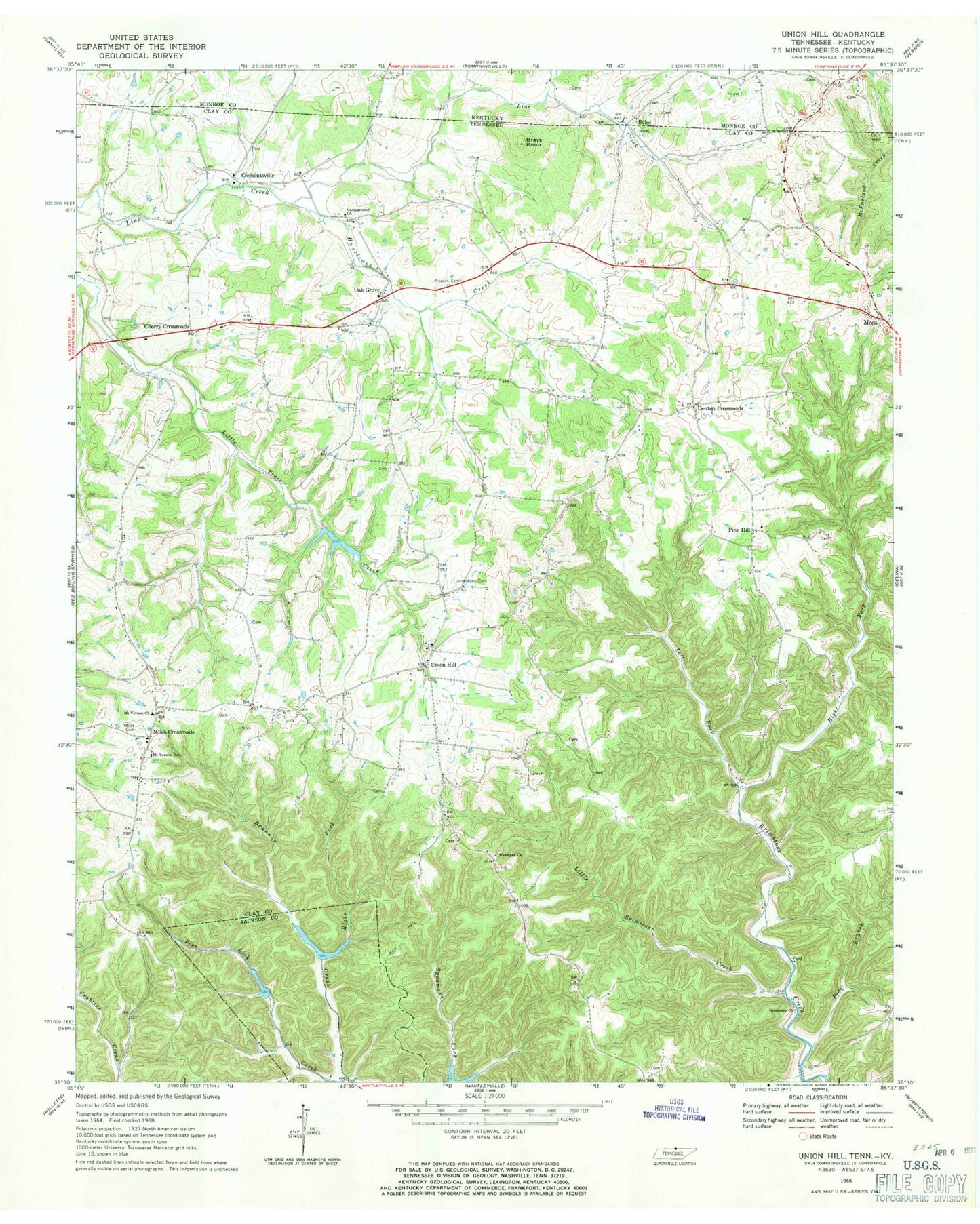
Classic USGS Union Hill Tennessee 7.5'x7.5' Topo Map
Couldn't load pickup availability
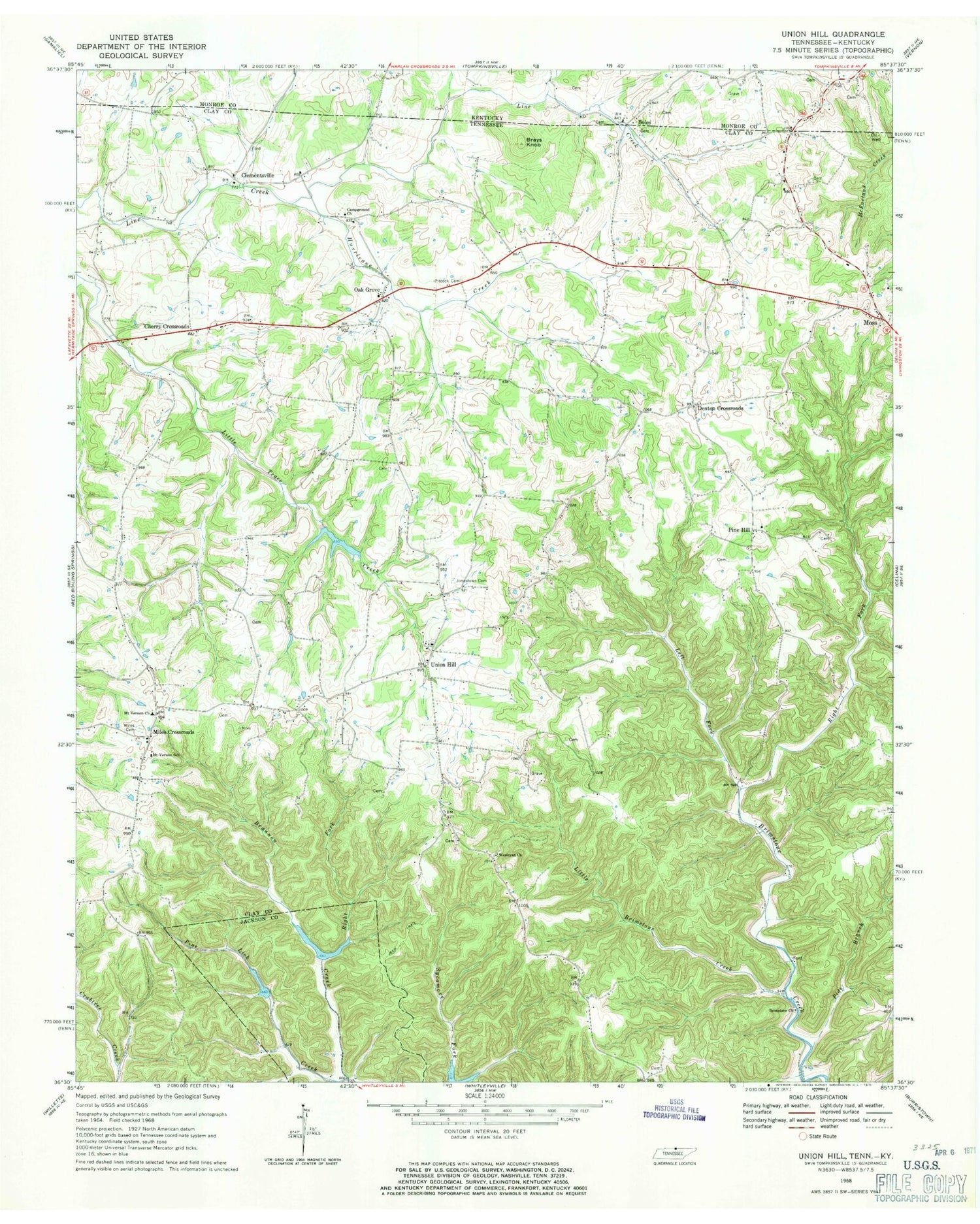
Historical USGS topographic quad map of Union Hill in the states of Tennessee, Kentucky. Typical map scale is 1:24,000, but may vary for certain years, if available. Print size: 24" x 27"
This quadrangle is in the following counties: Clay, Jackson, Monroe.
The map contains contour lines, roads, rivers, towns, and lakes. Printed on high-quality waterproof paper with UV fade-resistant inks, and shipped rolled.
Contains the following named places: Wesleyan Church, Boles, Brannon Creek, Brays Knob, Hurricane Creek, Jonestown Cemetery, Left Fork Brimstone Creek, Little Brimstone Creek, Miles Cemetery, Miles Crossroads, Mount Vernon Church, Mount Vernon School, Oak Grove, Pide Branch, Pine Hill, Pitcock Cemetery, Right Fork Brannon Creek, Right Fork Brimstone Creek, Lake Number Six, Jennings Creek Watershed Dam Number Six, Lake Number Five, Jennings Creek Watershed Dam Number Five, Line Creek Lake Number Three B, Line Creek Watershed Dam Number Three B, Union Hill, Cove Creek, Brimstone Church, McCormick Ridge, Cherry Crossroads, Clementsville, Brimestone School (historical), Campground Church, Clementsville Church of Christ, Eminence School (historical), Laurel Bluff School (historical), Milestown Church of Christ, Mount Vernon Charity Tabernacle, Oak Grove Church of Christ, Oak Grove School (historical), Pine Hill Church of Christ, Pine Hill School (historical), Union Hill Cemetery, Union Hill Church of Christ, Union Hill Community Center, Union Hill School (historical), Bird Hollow, Denton Crossroads, Hermitage Springs Division (historical), Commissioner District 2, Commissioner District 1, Running Late Poultry Farm, Smith's Poultry Farms, Ridge Top Farm, Mount Vernon Volunteer Fire Department, Sweetwater Creek, Boles


