MyTopo
Classic USGS Union Mills Iowa 7.5'x7.5' Topo Map
Couldn't load pickup availability
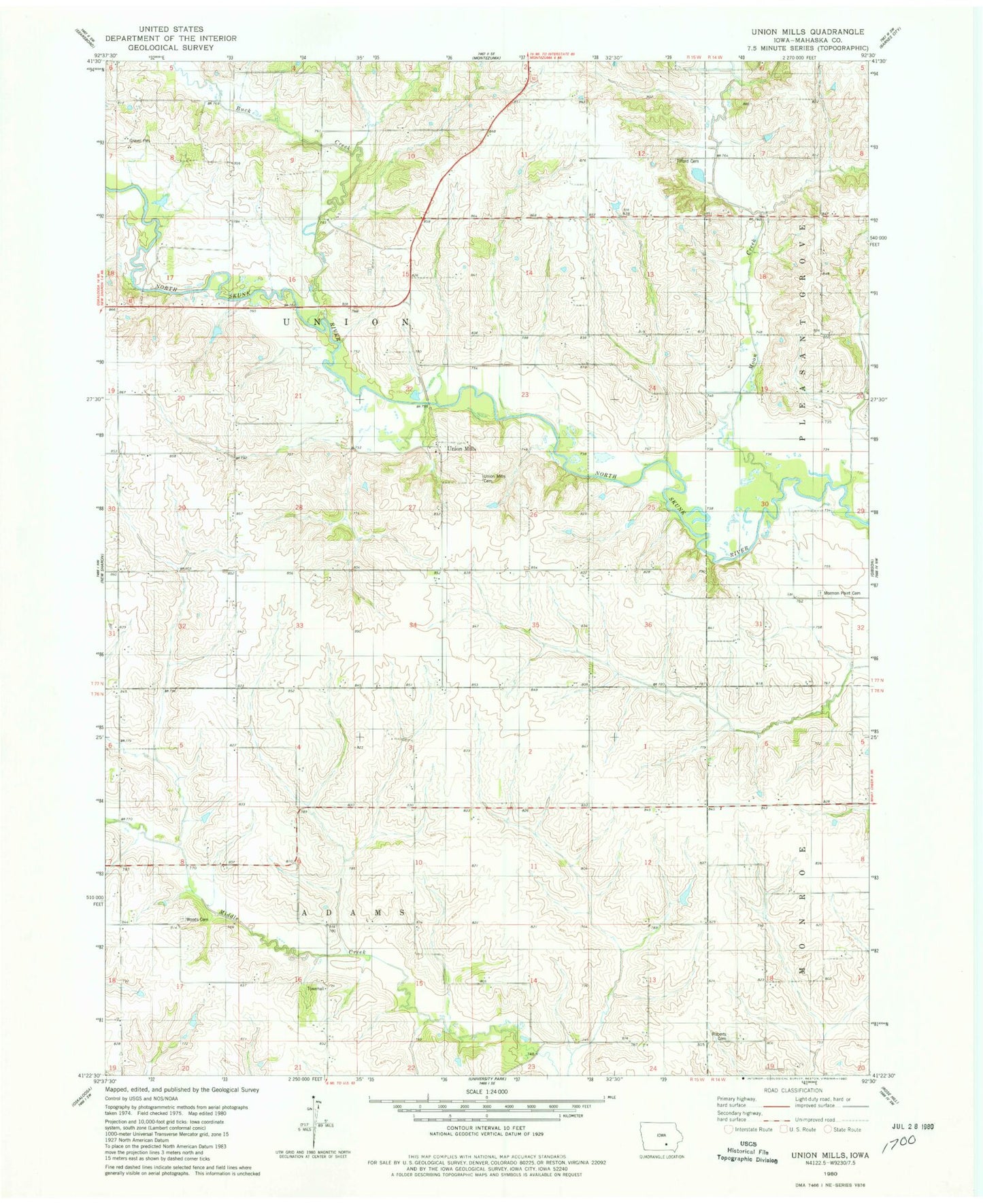
Historical USGS topographic quad map of Union Mills in the state of Iowa. Map scale may vary for some years, but is generally around 1:24,000. Print size is approximately 24" x 27"
This quadrangle is in the following counties: Mahaska.
The map contains contour lines, roads, rivers, towns, and lakes. Printed on high-quality waterproof paper with UV fade-resistant inks, and shipped rolled.
Contains the following named places: Adams Townhall, Buck Creek, Buckhorn Post Office, Moon Creek, Mormon Point Cemetery, Munchuk Post Office, Neska, Roberts Cemetery, Tilford Cemetery, Township of Adams, Township of Union, Union Mills, Union Mills Access, Union Mills Cemetery, Union Mills Christian Church, Union Mills Church, Union Mills Post Office, Woods Cemetery