MyTopo
Classic USGS Union Peak Oregon 7.5'x7.5' Topo Map
Couldn't load pickup availability
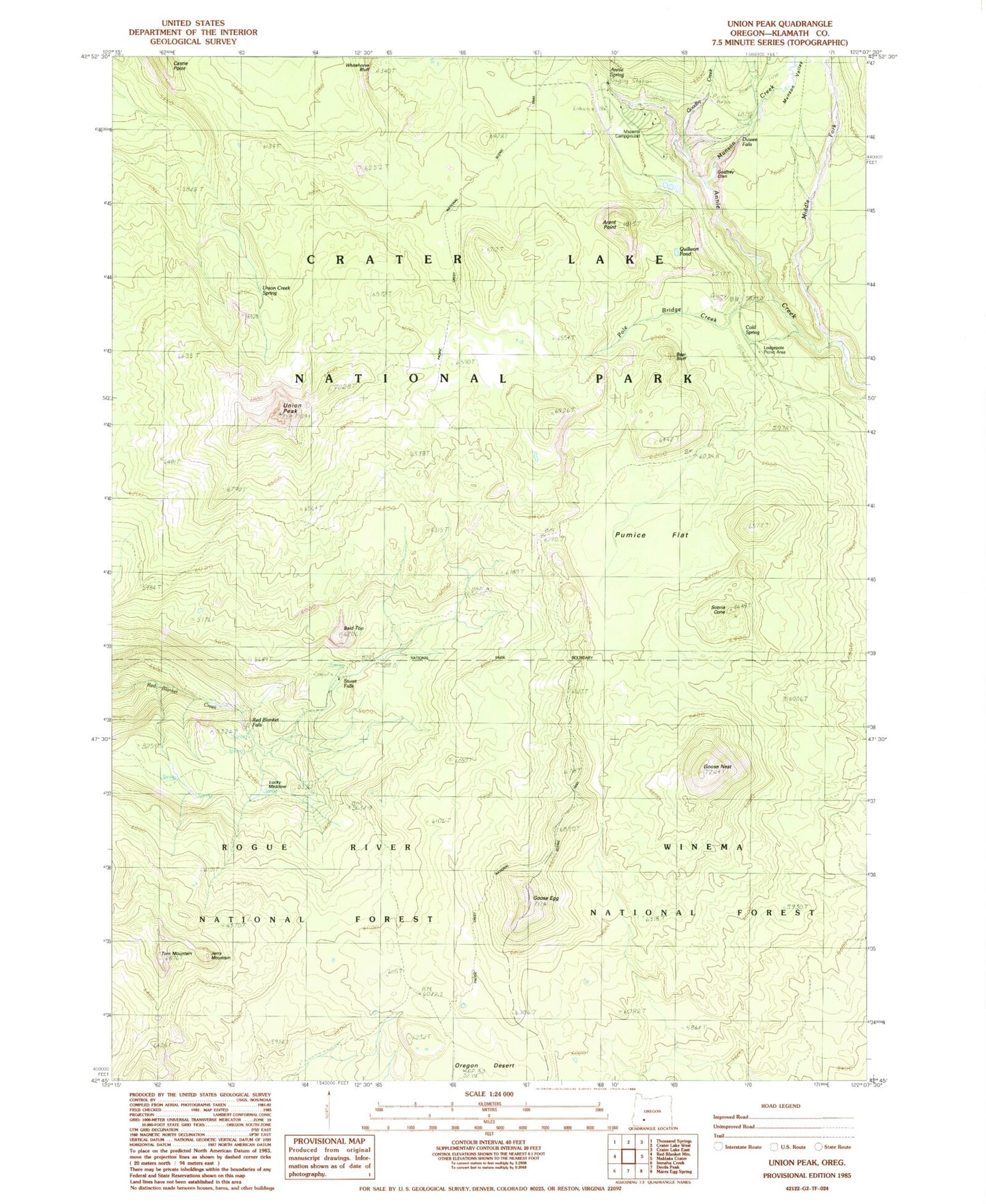
Historical USGS topographic quad map of Union Peak in the state of Oregon. Map scale may vary for some years, but is generally around 1:24,000. Print size is approximately 24" x 27"
This quadrangle is in the following counties: Klamath.
The map contains contour lines, roads, rivers, towns, and lakes. Printed on high-quality waterproof paper with UV fade-resistant inks, and shipped rolled.
Contains the following named places: Annie Spring, Arant Point, Bald Top, Bear Bluff, Castle Point, Cold Spring, Cold Springs Campground, Duwee Falls, Godfrey Glen and Colonnades, Goodbye Creek, Goose Egg, Goose Nest, Jerry Mountain, Lodgepole Picnic Area, Lucky Camp, Lucky Meadows, Mazama Campground, Middle Fork Annie Creek, Munson Creek, Munson Valley, Munson Valley Trail, Pole Bridge Creek, Pumice Flat, Quillwort Pond, Red Blanket Falls, Rogue Watershed, Scoria Cone, Stuart Falls, Stuart Falls Camp, Tom Mountain, Union Creek Spring, Union Peak, Union Peak Trail