MyTopo
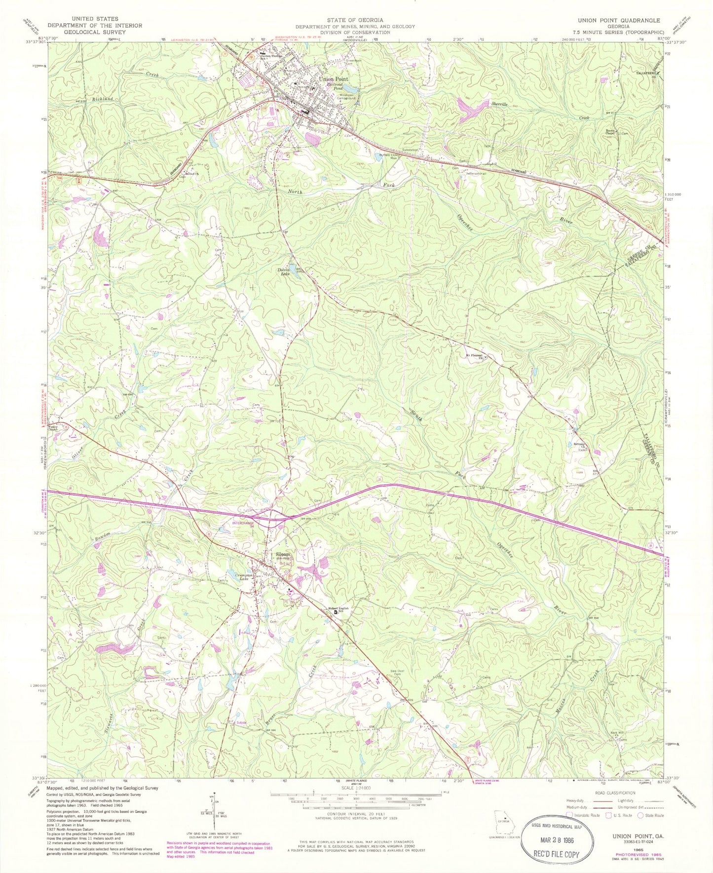
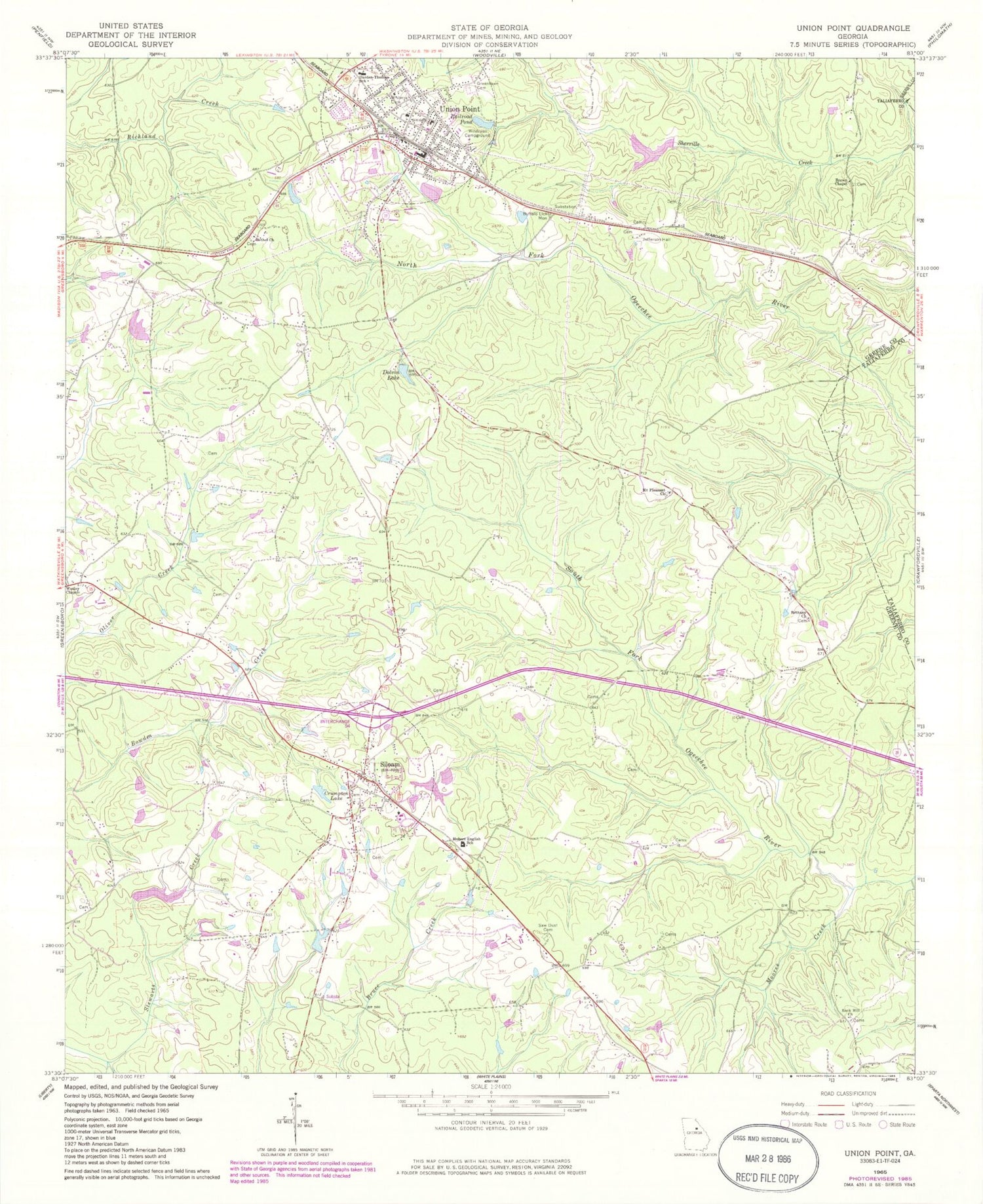
Classic USGS Union Point Georgia 7.5'x7.5' Topo Map
Couldn't load pickup availability
Historical USGS topographic quad map of Union Point in the state of Georgia. Map scale may vary for some years, but is generally around 1:24,000. Print size is approximately 24" x 27"
This quadrangle is in the following counties: Greene, Taliaferro.
The map contains contour lines, roads, rivers, towns, and lakes. Printed on high-quality waterproof paper with UV fade-resistant inks, and shipped rolled.
Contains the following named places: Andrews School, Bethany Cemetery, Bethany Church, Bethel Cemetery, Bethel Church, Brown Chapel, Buffalo Lick Monument, Carleton Cemetery, City of Union Point, Cook Cemetery, Credille Lake, Credille Lake Dam, Crumpton Lake, Darden-Thomas School, Dolvin Lake, Dolvin School, Eastover School, Edmonds Lake, Edmonds Lake Dam, First Baptist Church, Gaines Cemetery, George Lake, George Lake Dam, Greenlawn Cemetery, Hubert English School, Hugh Moore - King Cemetery, Jefferson Hall, King - Perkins Cemetery, Living Word Church, McJunkin Cemetery, Moores Creek, Mount Pleasant Church, Mount Pleasant School, Nathanael Greene Academy, Olive Cemetery, O'Neal Cemetery, Railroad Pond, Rock Hill Church, Saint Marys School, Saw Dust Cemetery, Sibley School, Siloam, Siloam Cemetery, Siloam Division, Siloam Fire Department, Siloam Post Office, Siloam Quarry, Sims Cemetery, State of Georgia Forestry Commission Greene County Forestry Division, Tolbert Cemetery, Town of Siloam, Union Point, Union Point Elementary School, Union Point Historic District, Union Point Police Department, Union Point Post Office, Union Point Volunteer Fire Department, Veazey Cemetery, Wesley Chapel, Wesleyan Campground, White Plains Junction, Wisteria Cemetery, ZIP Code: 30665


