MyTopo
Classic USGS Union Wash California 7.5'x7.5' Topo Map
Regular price
$16.95
Regular price
Sale price
$16.95
Unit price
per
Couldn't load pickup availability
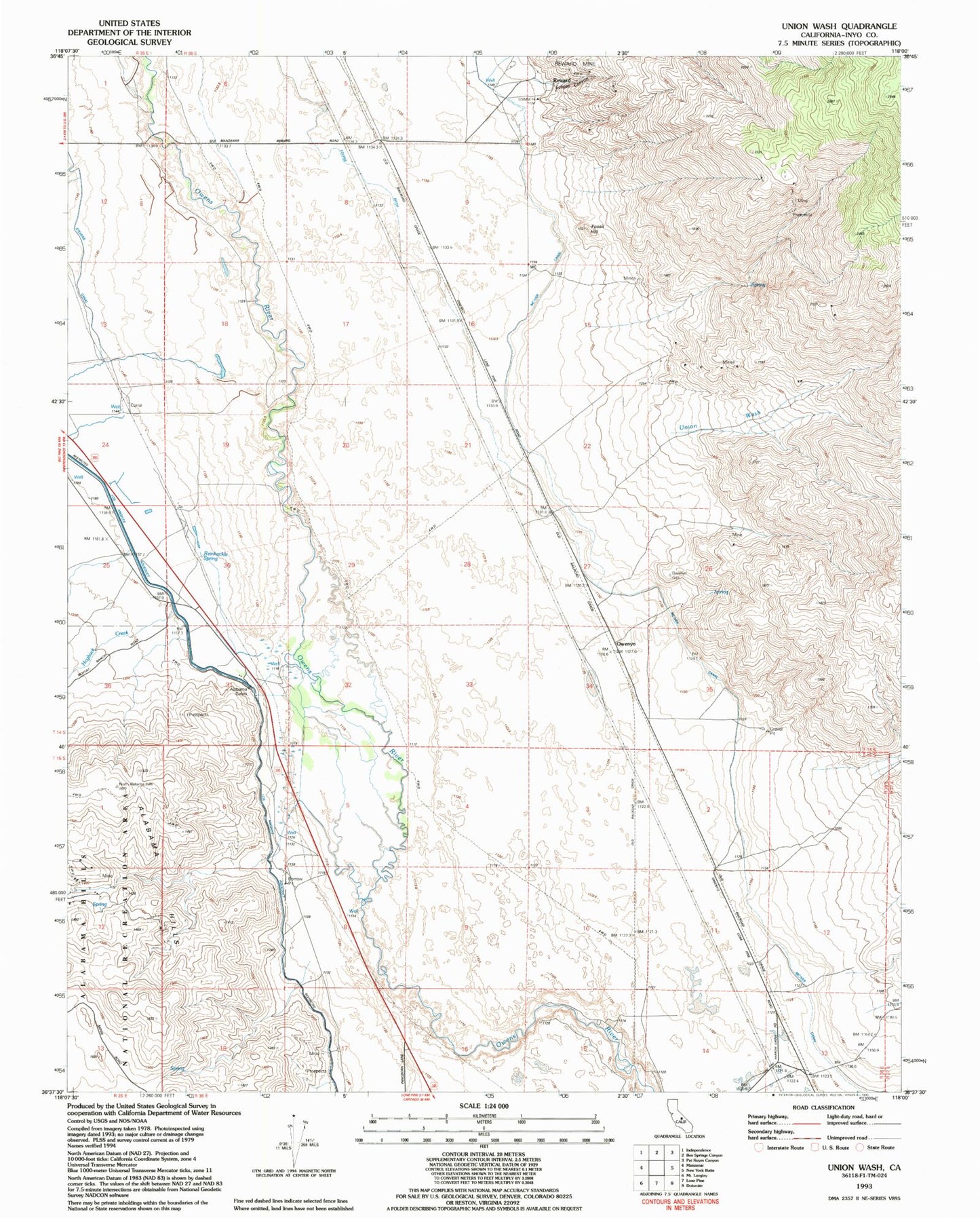
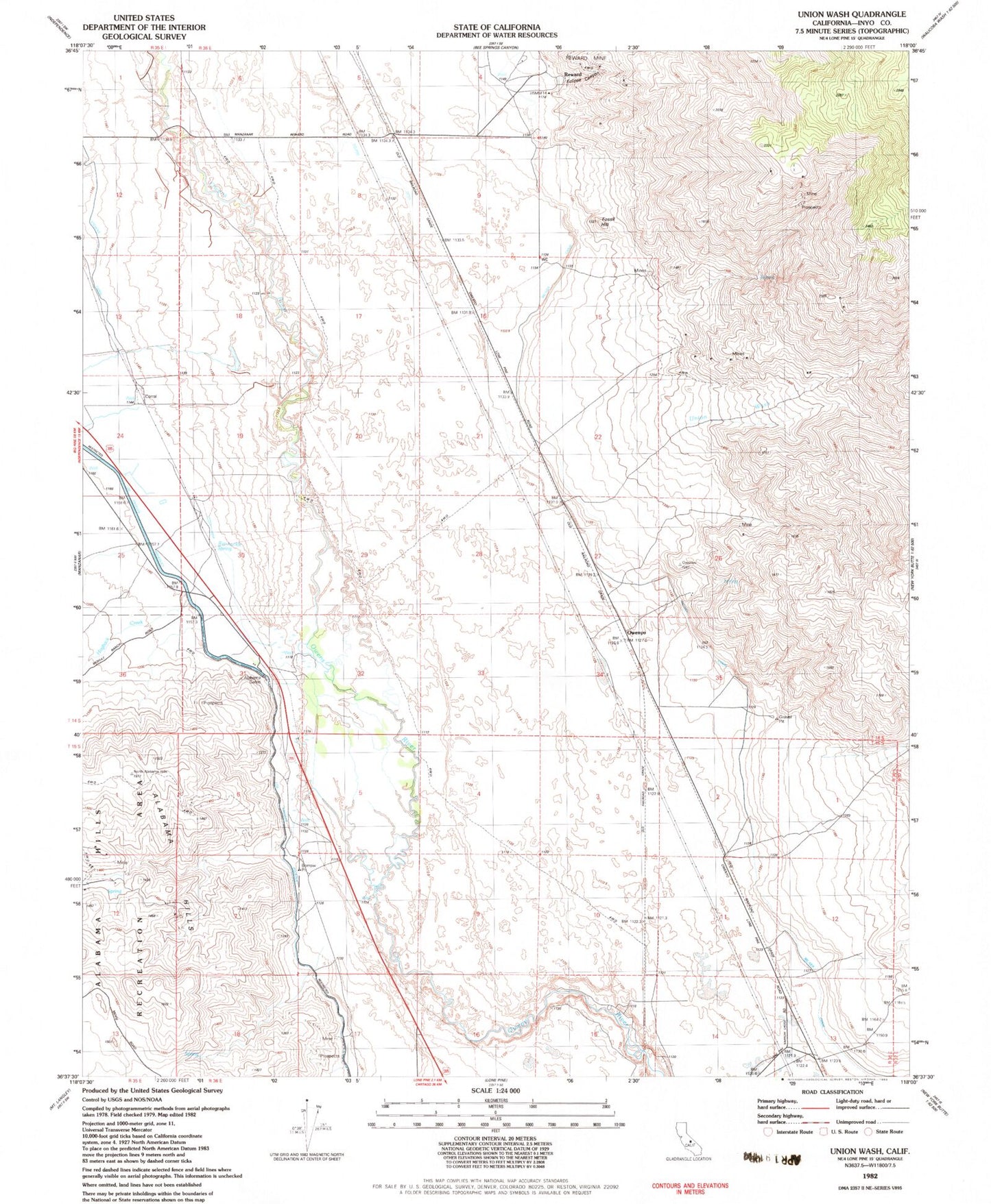
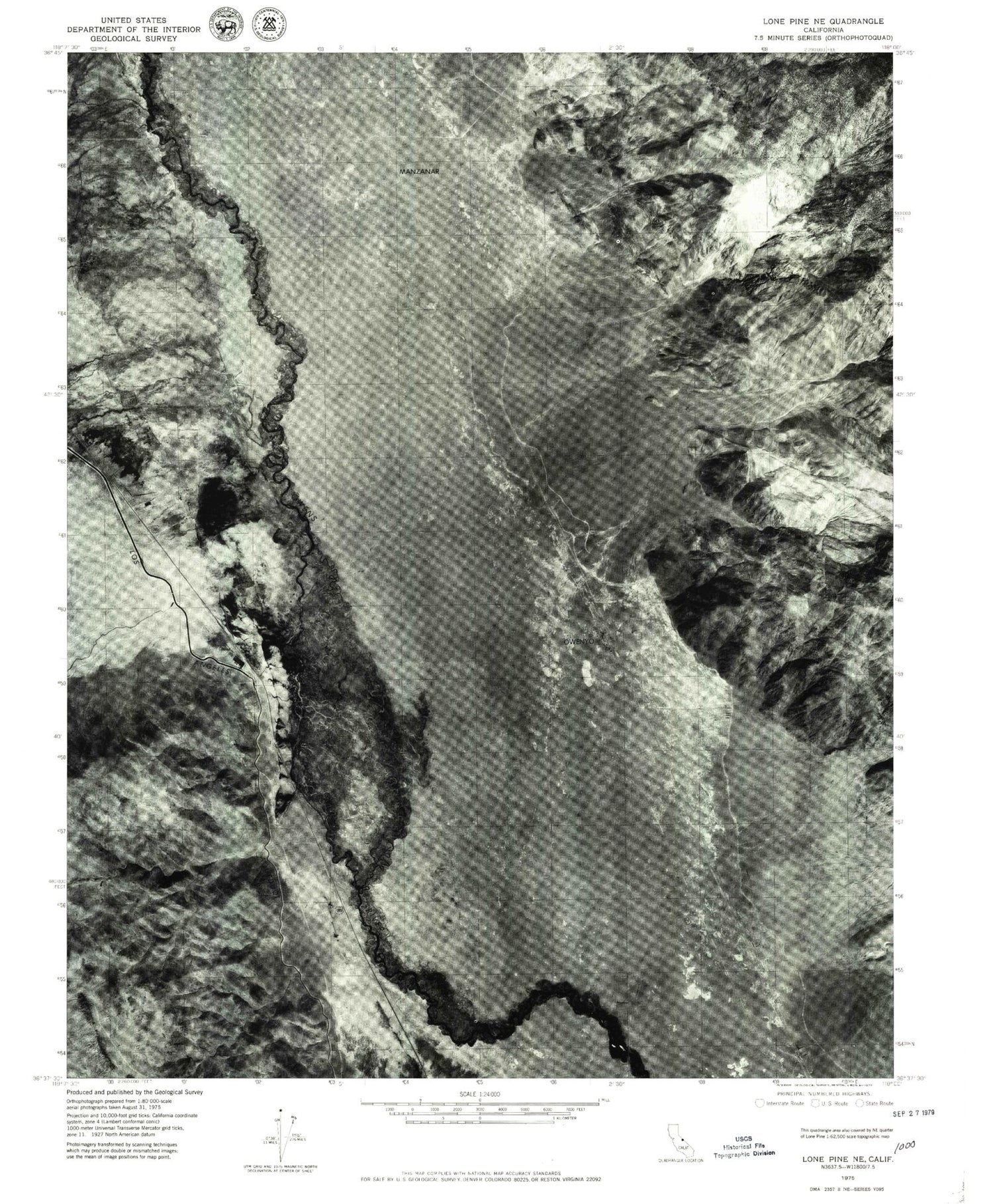
Historical USGS topographic quad map of Union Wash in the state of California. Map scale may vary for some years, but is generally around 1:24,000. Print size is approximately 24" x 27"
This quadrangle is in the following counties: Inyo.
The map contains contour lines, roads, rivers, towns, and lakes. Printed on high-quality waterproof paper with UV fade-resistant inks, and shipped rolled.
Contains the following named places: Alabama Gates, Alabama Hills, Eclipse Canyon, Eclipse Ditch, Fossil Hill, Hogback Creek, Long John Canyon, Manzanar, McIver Canal, Mount Whitney, Owenyo, Reinhackle Spring, Reward, Union Wash