MyTopo
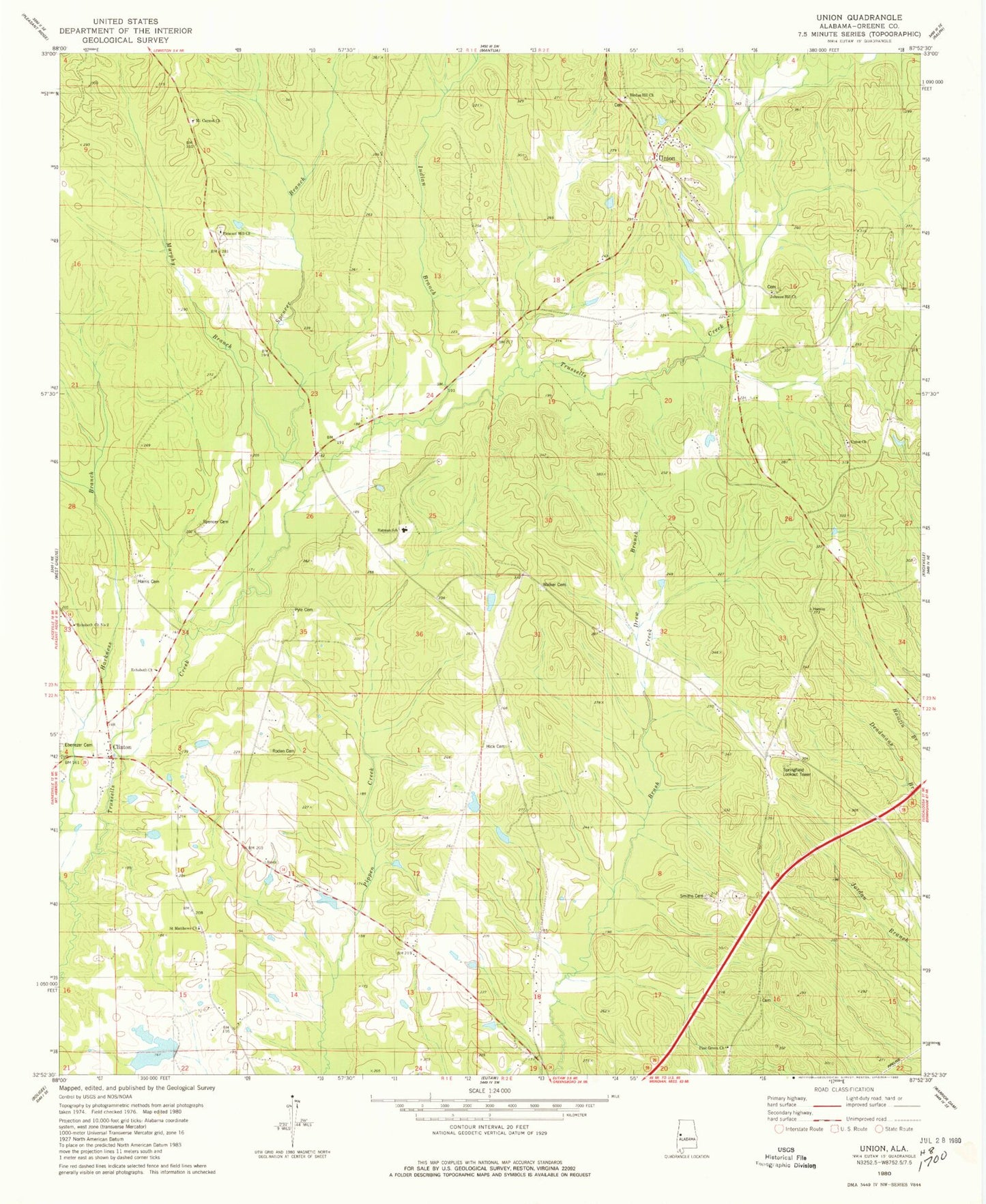
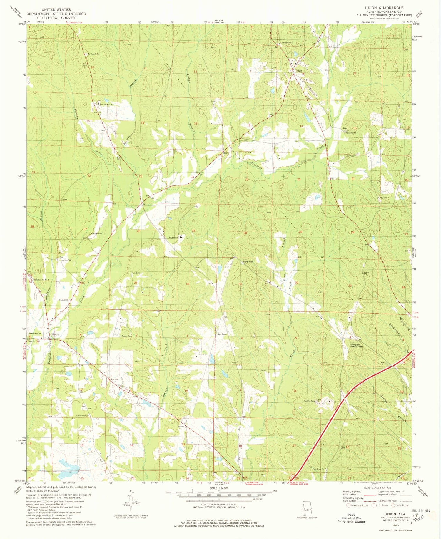
Classic USGS Union Alabama 7.5'x7.5' Topo Map
Couldn't load pickup availability
Historical USGS topographic quad map of Union in the state of Alabama. Map scale may vary for some years, but is generally around 1:24,000. Print size is approximately 24" x 27"
This quadrangle is in the following counties: Greene.
The map contains contour lines, roads, rivers, towns, and lakes. Printed on high-quality waterproof paper with UV fade-resistant inks, and shipped rolled.
Contains the following named places: Allen Hall Plantation, Beech Grove School, Big Spring, Birdon Hill Church, Burton Hill School, Clinton, Clinton Baptist Church, Clinton Church, Clinton Post Office, Cobb Plantation, De Soto Indian Fortification, Double O Hunting Club, Drew Branch, Duck Pond, Eatman Elementary School, Ebenezer Cemetery, Ebenezer Presbyterian Church, Eutaw Division, Fortsons Mills, Greenon Cemetery, Harkness Branch, Harkness School, Harris Cemetery, Hick Cemetery, Hogley Wood Cemetery, Hopewell Church, Indian Branch, Ingham School, Johnson Hill Cemetery, Johnson Hill Methodist Church, Johnson Hill School, McLean Lake Number 1, McMillan Pond, Mount Carmel Baptist Church, Murphy Branch, Piney Grove Baptist Church, Pleasant Hill Cemetery, Pleasant Hill Presbyterian Church, Pyle Cemetery, Rehoboth Baptist Church, Rehoboth Church, Rehoboth Church Number 2, Roden Cemetery, Saint Matthews Church, Sam Acre, Smith School, Smiths Cemetery, South Union, Spencer Branch, Spencer Cemetery, Springfield Lookout Tower, Sunflower Church, Sunflower School, Town of Union, Union, Union Cemetery, Union Christian Church, Union Christian Church Cemetery, Union School, W P McLean Dam Number 1, Walker Cemetery, ZIP Code: 35462


