MyTopo
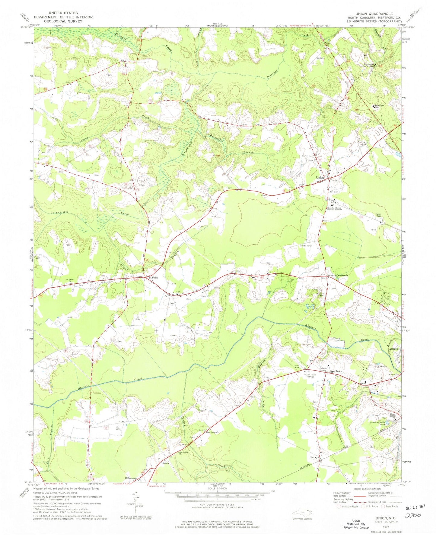
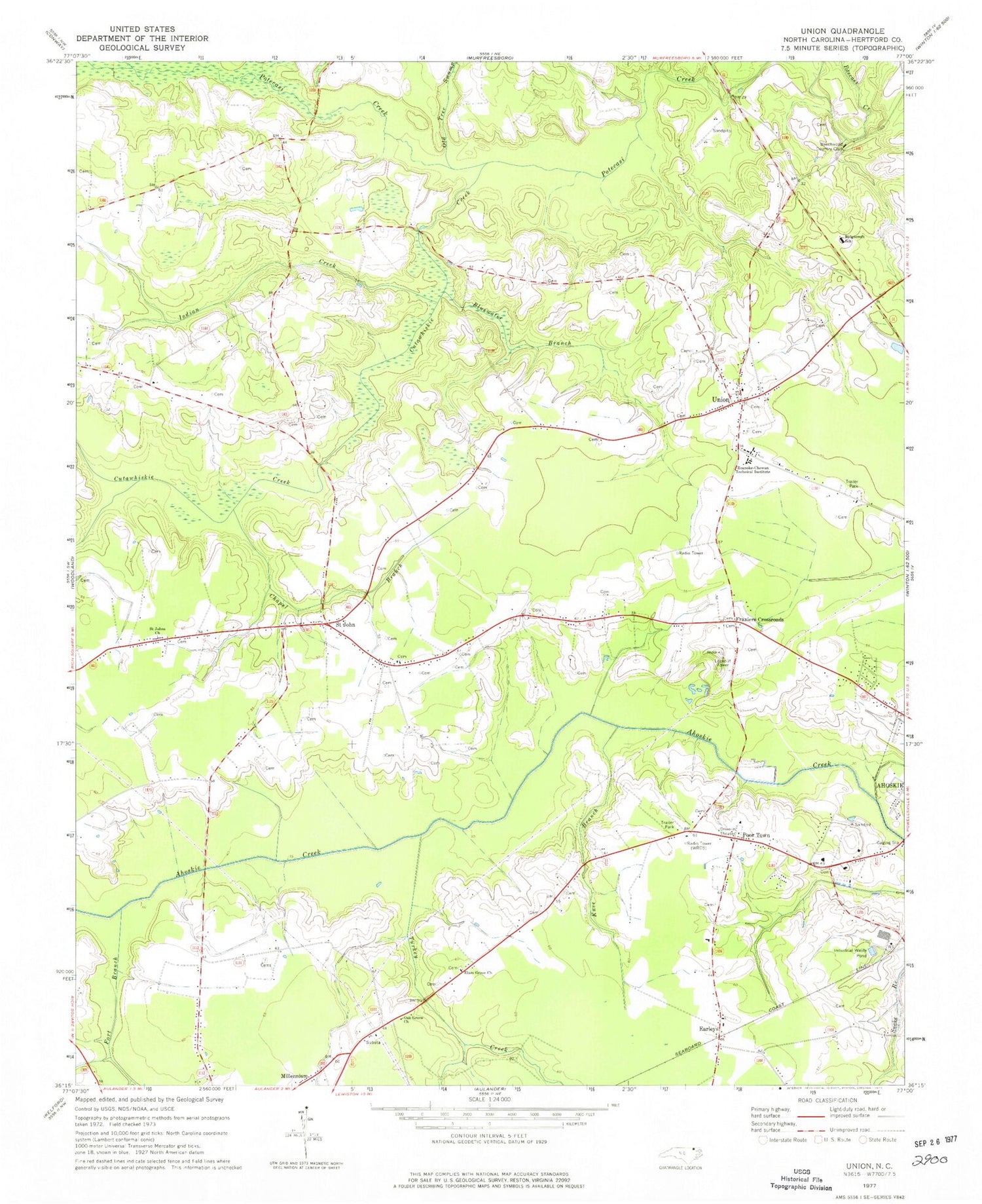
Classic USGS Union North Carolina 7.5'x7.5' Topo Map
Couldn't load pickup availability
Historical USGS topographic quad map of Union in the state of North Carolina. Map scale may vary for some years, but is generally around 1:24,000. Print size is approximately 24" x 27"
This quadrangle is in the following counties: Hertford.
The map contains contour lines, roads, rivers, towns, and lakes. Printed on high-quality waterproof paper with UV fade-resistant inks, and shipped rolled.
Contains the following named places: Beechwood Country Club, Benthalls Bridge, Bluewater Branch, Buffalo Island, Chapel Branch, Cutawhiskie Creek, Earleys, Elam Grove Church, Fort Branch, Fraziers Crossroads, Indian Creek, Knee Branch, Knights Bridge, Livermans Mill, North Carolina State Highway Patrol Troop A District 2, Oak Grove Church, Old Tree Swamp, Open Arms Church, Poor Town, Ridgecroft School, Roanoke-Chowan Technical Institute, Saint John, Saint John Fire Department, Saint Johns Church, Township of Saint Johns, Turkey Creek, Union, Union Baptist Church, Union Rural Volunteer Fire Department, Windsor Nursing Home School Street Facility, WQDK-FM (Ahoskie), WRCS-AM (Ahoskie)


